Mosley Creek
- 7.8 mi
- distance
- 46 ft
- high point
- Sep–May
- best months
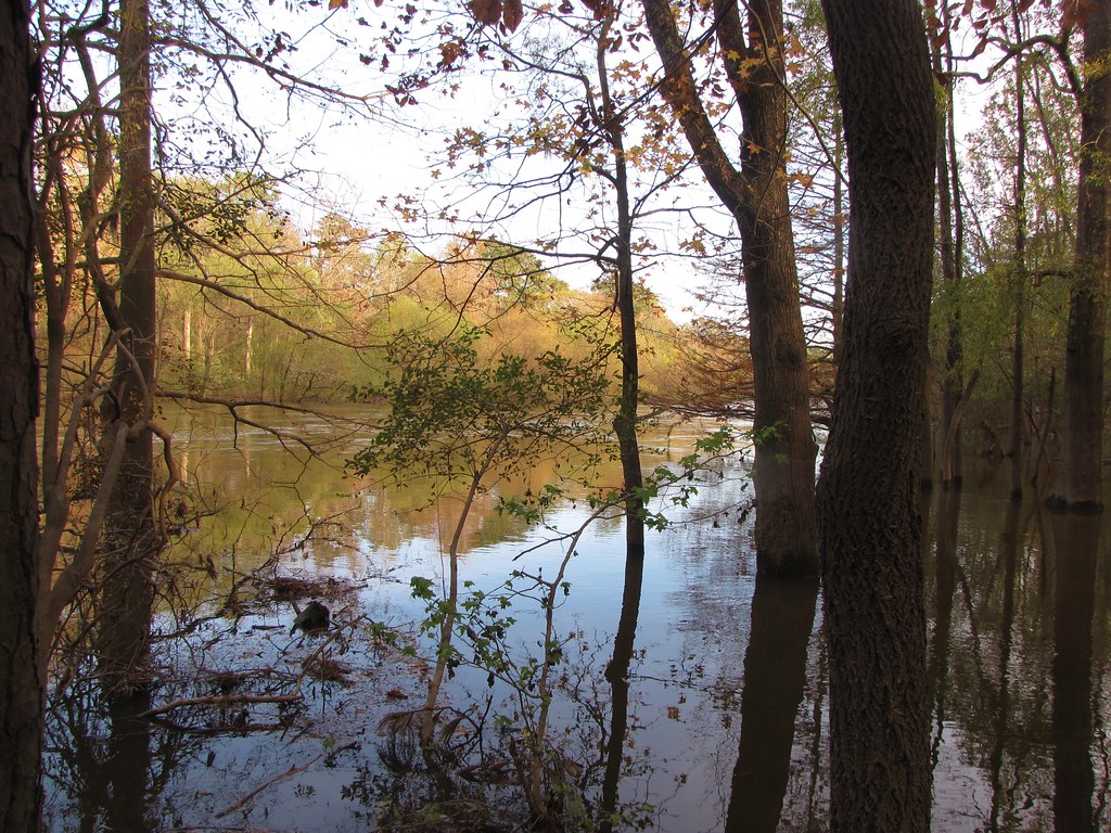
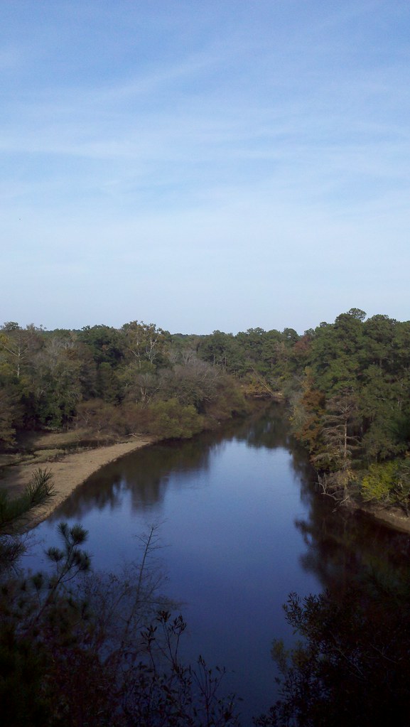
Mosley Creek is a canoeing destination in North Carolina, about 2.8 miles from the small community of West Crossroads. It sits within a network of paddling waters in this part of the state, with Grinnel Slough and Core Creek both within about 8 miles. The most comfortable paddling months are spring and fall. Typical averages from a nearby weather station in Kinston show October highs around 76°F with lows near 53°F and only about seven wet days in the month. April runs similarly mild, with highs near 75°F and lows around 51°F. For more time on the water, Grinnel Slough is about 5.5 miles away, and Core Creek is about 8 miles away. Both are canoeing routes, so they make natural additions to a trip to Mosley Creek.
Source: Roamze catalog (indexable pages within 10 miles, PostGIS distance)
- Grinnel SloughCanoeing · ~9 min drive
- State Park Canoe Tie-UoBoat launch · ~44 min drive
- Core CreekCanoeing · ~14 min drive
- KayakBoat launch · ~45 min drive
- Mountains-to-Sea Trail: Segment 11A-16ACanoeing · ~17 min drive
- Brice's Creek Boat LaunchBoat launch · ~46 min drive
- Beaver CreekCanoeing · ~17 min drive
- Cliffs of the Neusse Canoe LaunchBoat launch · ~46 min drive
- Southwest CreekCanoeing · ~20 min drive
- Mason's LandingBoat launch · ~48 min drive
Also worth it near here
Best time to visit Mosley Creek
Best months: September–May. Best months have typical highs of 55–85 °F, lows of 30 °F or warmer (32 °F where the station doesn't record snow), at most one snowy day and no more than 12 wet days.
Jan
56° / 35°
8 wet
Feb
60° / 37°
8 wet
Mar
67° / 42°
8 wet
Apr
75° / 51°
8 wet
May
82° / 59°
8 wet
Jun
88° / 68°
9 wet
Jul
91° / 71°
11 wet
Aug
89° / 70°
10 wet
Sep
84° / 64°
8 wet
Oct
76° / 53°
7 wet
Nov
67° / 44°
7 wet
Dec
59° / 38°
8 wet
Typical high / low (°F) and days with rain or snow, 1991–2020. Measured at Kinston Ag Rsch, NC, 8.1 mi away at 60 ft. Source: NOAA NCEI U.S. Climate Normals 1991–2020.