Windy Gap - A Young Life Camp
Campground
Campground · 5.6 mi from the trail
Clear at last check
Weather is good · OpenWeather · checked 19 h ago
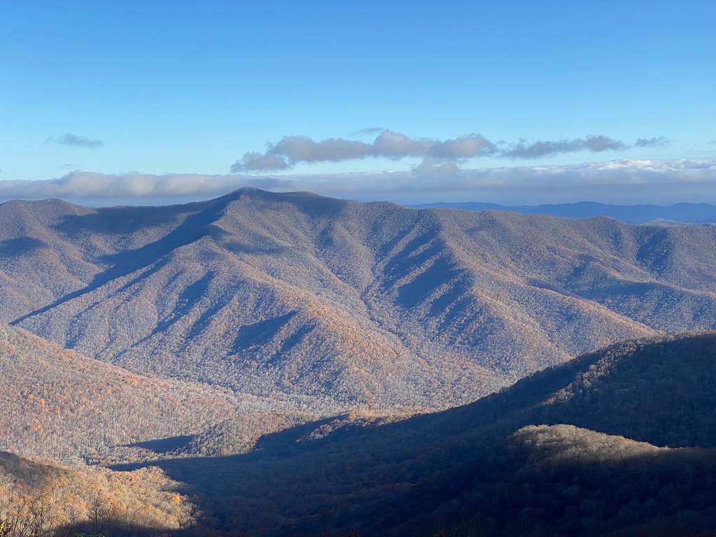
Mst - Appalachian Rd is a 70.05-mile point-to-point trail in Pisgah National Forest in western North Carolina, managed by the Forest Service. It crosses the state with a steady climb of 8,354 feet of elevation gain, and its high point reaches 6,621 feet. The route starts at about 4,233 feet and ends at a low of about 2,997 feet. The trail is rated hard, and it takes about 27.5 hours to complete. It's open year-round, and bikes are allowed on the natural-surface route. For comfortable weather, late spring and early fall are the best bets. Typical averages from the Mt Mitchell weather station, 11.9 miles away, show September highs near 61°F with lows around 46°F, while May runs about 58°F by day and 41°F at night. The station sits at about 6,240 feet, so temperatures on the trail run a little cooler. Rattlesnake Lodge Trail is just 0.6 miles away. Within a few miles are Reems Creek for canoeing and Dodge Lake Trail and White Pine Loop for hiking.
Windy Gap - A Young Life Camp
Campground
 If it rainsDavidhuffcreative, CC BY-SA 4.0 · Wikimedia Commons
Places © OpenStreetMap contributors, Places © Overture Maps Foundation · Photos: Davidhuffcreative, CC BY-SA 4.0 (commons)
More in HendersonvilleNot on Roamze yet. Their page has how to reach them.
Source: Roamze catalog (indexable pages within 10 miles, PostGIS distance)
 SnowballHiking · ~6 min drivePhoto: A. Duarte, CC BY-SA 2.0 (via Flickr)
 Bull Creek TrHiking · ~6 min drivePhoto: Clexow, CC BY-SA 2.0 (via Flickr)
 Stair CreekHiking · ~13 min drivePhoto: Scott Teresi, CC BY-SA 2.0 (via Flickr)Big ButtHiking · ~15 min drivePhoto: Scott Teresi, CC BY-SA 2.0 (via Flickr)
 Craggy Pinnacle TrailHiking · ~9 min drivePhoto: A. Duarte, CC BY-SA 2.0 (via Flickr)Staire CreekHiking · ~13 min drivePhoto: Scott Teresi, CC BY-SA 2.0 (via Flickr)
 Reese TrailHiking · ~9 min drivePhoto: daveynin, CC BY 2.0 (via Flickr)
 PerkinsHiking · ~13 min drivePhoto: Scott Teresi, CC BY-SA 2.0 (via Flickr)
Best months: September. Best months have typical highs of 55–85 °F, lows of 30 °F or warmer (32 °F where the station doesn't record snow), at most one snowy day and no more than 12 wet days.
Jan
34° / 17°
14 wet
Feb
36° / 18°
13 wet
Mar
41° / 24°
14 wet
Apr
50° / 32°
13 wet
May
58° / 41°
14 wet
Jun
64° / 49°
16 wet
Jul
67° / 52°
18 wet
Aug
66° / 51°
16 wet
Sep
61° / 46°
12 wet
Oct
54° / 37°
11 wet
Nov
45° / 28°
10 wet
Dec
38° / 21°
13 wet
Typical high / low (°F) and days with rain or snow, 1991–2020. Measured at Mt Mitchell, NC, 11.9 mi away at 6,240 ft. This station doesn't record snowfall. Source: NOAA NCEI U.S. Climate Normals 1991–2020.

