Murphy River Walk
 Photo: samhozan, Public Domain Dedication (CC0) (via Flickr)
- 0.4 mi
- round trip
- 66 ft
- climb
- 1,546 ft
- high point
- Out and back
- route
- Mar–Jun, Sep–Nov
- best months
Is Murphy River Walk open right now?
Closure in the area
There's a closure order in National Forests in North Carolina. It doesn't name Murphy River Walk, so check the source for the area it covers (2 listed).
Maple Sally Road Closure
Agency closure covering National Forests in North Carolina · USFS · National Forests in North Carolina
Table Rock Road construction starts Nov. 2, 2026
Agency closure covering National Forests in North Carolina · USFS · National Forests in North Carolina
Pisgah National Forest Begins Removing Hazardous Fuel Left by Helene via Helicopters
Agency alert covering National Forests in North Carolina · USFS · National Forests in North Carolina
Temporary Closure - The Elk Falls Trail
Agency alert covering National Forests in North Carolina · USFS · National Forests in North Carolina
Rainbow Springs Road closed for reconstruction
Agency alert covering National Forests in North Carolina · USFS · National Forests in North Carolina
As of · Source: USFS · National Forests in North Carolina. Agencies don't list every closure — check before you go.
Murphy River Walk is a short, easy outing in the Tusquittee Ranger District of the National Forests in North Carolina, about 3.5 miles from the town of Murphy. The trail is a front-loaded out-and-back with a total round-trip distance of about 0.7 miles and a total elevation change of about 66 feet, so it works well as a quick stop or a warm-up before a longer hike. The walk rises about 36 feet from its starting point at roughly 1,529 feet to a high point of about 1,546 feet, with the steepest stretch coming near the start at about 2% grade. It is a short trip, and the trip time is estimated at about half an hour. For comfortable weather, late spring and early fall are the sweet spots. Typical averages from a nearby weather station in Murphy show May highs around 78°F and October highs around 72°F, with fewer wet days in October than in spring. Other trails lie within a few miles, including Ramsey Bluff and Farmer Top Overlook, both about 3.2 miles away, and Ramsey Bend South at about 3.4 miles. For paddling, Peachtree Creek is about 5.4 miles off.
Local outfitters
- GSM Outfitters49 mi away
- Wildwater White Water Rafting & Zipline Canopy Tours49 mi away
Not on Roamze yet. Their page has how to reach them.
- Ramsey BluffHiking3.2 mi
- Farmer Top OverlookHiking3.2 mi
- Ramsey Bend SouthHiking3.4 mi
- Nottely River ConnectorHiking3.4 mi
- MingusHiking3.4 mi
- Ramsey Bend NorthHiking3.4 mi
- Ramsey Bend South AHiking3.5 mi
- Peachtree CreekCanoeing5.4 mi
Source: Roamze catalog (indexable pages within 10 miles, PostGIS distance)
- Murphy River WalkHiking · Next doorPhoto: samhozan, Public Domain Dedication (CC0) (via Flickr)
 Mitchell LickHiking · ~25 min drivePhoto: pseabolt, CC BY 3.0 (via Wikimedia Commons)
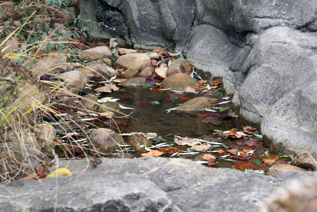 Miller TrekHiking · ~25 min drivePhoto: Clevergrrl, CC BY-SA 2.0 (via Flickr)
- RIM TRAILHiking · ~16 min drive
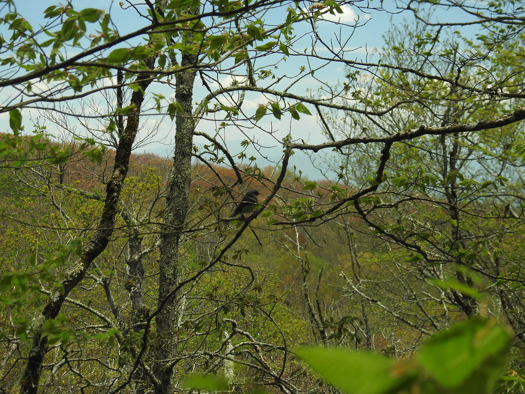 Hooper BaldHiking · ~25 min drivePhoto: MichaelGras, CC BY 2.0 (via Flickr)
- ShortoffHiking · ~13 min drive
- Snowbird MountainHiking · ~25 min drivePhoto: pseabolt, CC BY 3.0 (via Wikimedia Commons)
- Ramsey BluffHiking · ~5 min drive
- Huskins BranchHiking · ~15 min drive
- King MeadowsHiking · ~22 min drive
Best time to visit Murphy River Walk
Best months: March–June and September–November. Best months have typical highs of 55–85 °F, lows of 30 °F or warmer (32 °F where the station doesn't record snow), at most one snowy day and no more than 12 wet days.
Jan
50° / 25°
12 wet · 1 snow
Feb
54° / 28°
11 wet · 1 snow
Mar
62° / 34°
12 wet
Apr
71° / 41°
11 wet
May
78° / 51°
12 wet
Jun
83° / 59°
12 wet
Jul
87° / 63°
13 wet
Aug
86° / 62°
11 wet
Sep
81° / 56°
9 wet
Oct
72° / 43°
9 wet
Nov
61° / 33°
10 wet
Dec
53° / 28°
12 wet · 1 snow
Typical high / low (°F) and days with rain or snow, 1991–2020. Measured at Murphy 4ese, NC, 3.5 mi away at 1,600 ft. Source: NOAA NCEI U.S. Climate Normals 1991–2020.

Map and trail data © OpenStreetMap contributors
