Mount Pisgah Campground - Milepost 408.6
Campground
Campground · 2.4 mi from the trail
Closure in the area
There's a closure order in National Forests in North Carolina. It doesn't name BIG CREEK, so check the source for the area it covers (2 listed).
Maple Sally Road Closure
Agency closure covering National Forests in North Carolina · USFS · National Forests in North Carolina
Table Rock Road construction starts Nov. 2, 2026
Agency closure covering National Forests in North Carolina · USFS · National Forests in North Carolina
Temporary Closure - The Elk Falls Trail
Agency alert covering National Forests in North Carolina · USFS · National Forests in North Carolina
Rainbow Springs Road closed for reconstruction
Agency alert covering National Forests in North Carolina · USFS · National Forests in North Carolina
Siddie Fields Day Use Area closed for improvements
Agency alert covering National Forests in North Carolina · USFS · National Forests in North Carolina
As of · Source: USFS · National Forests in North Carolina. Agencies don't list every closure — check before you go.
Big Creek is a moderate hike of about 4 miles in the Pisgah Ranger District of the National Forests in North Carolina. The route climbs from about 3,150 feet to 4,833 feet, a gain of roughly 1,974 feet, and the steepest stretch comes at about 3.5 miles, where the grade reaches 31 percent. The Forest Service manages the land, and the trail's profile shows a total descent of about 2,100 feet, so the route is not symmetrical. Plan for about 2.5 hours on the trail. Two climbing areas, First Boulders and Superhero Boulder, sit about 1.3 miles away. Little Bald Mountain Trail and Neverending Road, both mountain biking routes, are each within about 1.5 miles.
Mount Pisgah Campground - Milepost 408.6
Campground
 If it rainsMx. Granger, CC0 · Wikimedia Commons
Places © OpenStreetMap contributors, Places © Overture Maps Foundation · Photos: Mx. Granger, CC0 (commons)
More in HendersonvilleNot on Roamze yet. Their page has how to reach them.
 Hendersonville Reservoir Rd Roadside CampsitesCampingPhoto: w_lemay, CC BY-SA 2.0 (via Wikimedia Commons)3.6 mi
Source: Roamze catalog (indexable pages within 10 miles, PostGIS distance)
 Pilot Rock TrailHiking · ~3 min drivePhoto: Edu Fiasco, CC BY-SA 3.0 (via Wikimedia Commons)
 Mount PisgahHiking · ~3 min drivePhoto: w_lemay, CC BY-SA 2.0 (via Flickr)
 Barnett BranchHiking · ~7 min drivePhoto: Payton Chung, CC BY 2.0 (via Flickr)
 Mount Pisgah TrailHiking · ~3 min drivePhoto: w_lemay, CC BY-SA 2.0 (via Flickr)Pilot RockHiking · ~4 min drivePhoto: Edu Fiasco, CC BY-SA 3.0 (via Wikimedia Commons)
 Explorer LoopHiking · ~9 min drivePhoto: daveynin, CC BY 2.0 (via Flickr)
 cold knob boundary trailHiking · ~7 min drivePhoto: Clexow, CC BY-SA 2.0 (via Flickr)
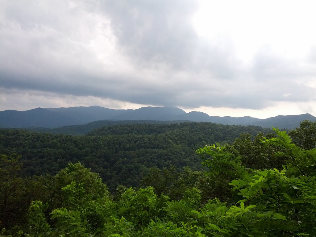 pine mountain trailHiking · ~7 min drivePhoto: Clexow, CC BY-SA 2.0 (via Flickr)
 Buck SpringsHiking · ~8 min drivePhoto: Donald Lee Pardue, CC BY 2.0 (via Flickr)cold knob ridgeHiking · ~8 min drivePhoto: Clexow, CC BY-SA 2.0 (via Flickr)
