Huckleberry Mountain
 Photo: Andy Arthur, CC BY 2.0 (via Wikimedia Commons)
- 1,934 ft
- summit
- May–Sep
- best months
Huckleberry Mountain is a summit in New York, rising to 1,934 feet about 5 miles from the town of Wells. It sits among a cluster of trails, with several hikes within a few miles of the peak. Summer is the most comfortable time to visit. Typical averages from a nearby weather station show July highs around 77°F with lows near 56°F, while winter highs stay in the 20s. That station sits roughly 480 feet lower than the summit, so temperatures on top run cooler. The closest trails are Tenant Creek Falls, about 1.5 miles away, and Coulombe Creek and Murphy Lake Path, each about 2 miles off. For climbing, Woods Lake Bouldering lies about 8 miles away.
Conditions and forecast
Daily highs and lows, wind and the chance of precipitation at the summit for the next 7 days, from the Open-Meteo model.
- Summit elevation
- 1,934 ft
Elevation from USGS 3D Elevation Program terrain data (about 10 m resolution).
We don't know of a mapped trail or route to the summit of Huckleberry Mountain. Plan the approach with local maps, a guidebook or a local guide, and check conditions before you go.
Questions about Huckleberry Mountain
How tall is Huckleberry Mountain?
1,934 ft (589 m).
Is there a trail to the top of Huckleberry Mountain?
We don't know of a mapped trail or route to the summit. Plan the approach with local maps, a guidebook or a local guide.
- Spruce Mountain2,652 ft · New York1 route12 mi away
- West Mountain2,679 ft · New York1 route13 mi away
- Dug Mountain3,248 ft · New York1 route17 mi away
- Good Luck Mountain2,335 ft · New York1 route18 mi away
- Spruce Mountain2,007 ft · New York1 route18 mi away
- Crane Mountain3,247 ft · New York1 route19 mi away
 Tenant Creek Falls trailHikingPhoto: Andy Arthur, CC BY 2.0 (via Wikimedia Commons)1.5 mi
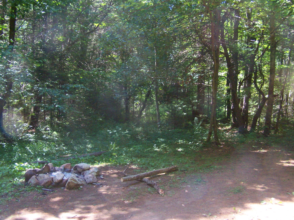 Coulombe Creek trailHikingPhoto: andyarthur, CC BY 2.0 (via Flickr)2.1 mi
 Murphy lake pathHikingPhoto: andyarthur, CC BY 2.0 (via Flickr)2.1 mi
 East Stony Creek TrailHikingPhoto: Andy Arthur, CC BY 2.0 (via Wikimedia Commons)2.2 mi
- Hope Center TrailHiking3 mi
- Woods Lake BoulderingRock climbing7.7 mi
- Bridge BouldersRock climbing7.7 mi
- H: Southern MountainsRock climbing9 mi
Source: Roamze catalog (indexable pages within 10 miles, PostGIS distance)
 Spruce MountainSummit · ~9 min drivePhoto: Peter Flass, CC BY 4.0 (via Wikimedia Commons)
 Little Cathead MountainSummit · ~13 min drivePhoto: Andy Arthur, CC BY 2.0 (via Wikimedia Commons)
 Hadley MountainSummit · ~22 min drivePhoto: Kenneth C. Zirkel, CC BY-SA 4.0 (via Wikimedia Commons)
 CamelhumpSummit · ~30 min drivePhoto: 420Traveler, CC BY-SA 4.0 (via Wikimedia Commons)
 Sheeley MountainSummit · ~33 min drivePhoto: 420Traveler, CC BY-SA 4.0 (via Wikimedia Commons)
 Snowy MountainSummit · ~44 min drivePhoto: Coasterlover1994, CC BY-SA 4.0 (via Wikimedia Commons)
 Peaked MountainSummit · ~46 min drivePhoto: Dclemens1971, CC BY 4.0 (via Wikimedia Commons)
 Blue MountainSummit · ~1h 4m drivePhoto: Anne LaBastille, Public domain (via Wikimedia Commons)
 Dun Brook MountainSummit · ~1h 5m drivePhoto: 420Traveler, CC BY-SA 4.0 (via Wikimedia Commons)
 Tirrell MountainSummit · ~1h 6m drivePhoto: 420Traveler, CC BY-SA 4.0 (via Wikimedia Commons)
Best time to visit Huckleberry Mountain
Best months: May–September. Best months have typical highs of 55–85 °F, lows of 30 °F or warmer (32 °F where the station doesn't record snow), at most one snowy day and no more than 12 wet days.
Jan
24° / 7°
Feb
27° / 8°
Mar
35° / 16°
Apr
48° / 29°
May
63° / 42°
Jun
72° / 52°
Jul
77° / 56°
Aug
73° / 54°
Sep
67° / 46°
Oct
53° / 36°
Nov
40° / 25°
Dec
30° / 16°
Typical high / low (°F) and days with rain or snow, 1991–2020. Measured at Gloversville 7nw (Peck Lake), NY, 19 mi away at 1,455 ft. This station doesn't record snowfall. Source: NOAA NCEI U.S. Climate Normals 1991–2020.
