Margaret Lewis Norrie State Park Campground
Campground
Campground · 9.1 mi from the trail
Victor C. Waryas is a boat launch in Victor Waryas Park in New York, about a mile from Marist College. It serves as a put-in for boaters heading out on the water from this corner of the Hudson Valley. Summer is the most comfortable time to visit. Typical averages from a nearby weather station in Poughkeepsie show July highs around 83°F with lows near 63°F, while September cools to highs in the mid-70s. The launch sits close to several other outdoor spots. The Walkway Over the Hudson is just 0.2 miles away, and the Hudson Valley Greenway Trail (Hopewell Junction to Poughkeepsie) is about 0.6 miles off. Hyde Park Boulders, a climbing area, is roughly 4.8 miles away, and Sprout Creek, a canoeing spot, is about 8.7 miles away.
Margaret Lewis Norrie State Park Campground
Campground
 If it rainsDaniel Case, CC BY-SA 3.0 · Wikimedia Commons
Children's museum in Poughkeepsie, NY
Places © OpenStreetMap contributors, Places © Overture Maps Foundation · Photos: Daniel Case, CC BY-SA 3.0 (commons)
More in New Windsor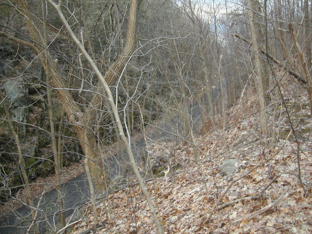 Yellow TrailHikingPhoto: Russ Nelson, CC BY-SA 2.0 (via Flickr)2.7 mi
 Top Cottage Trail (green)HikingPhoto: Ron Cogswell, CC BY 2.0 (via Flickr)4.4 mi
 Sprout CreekCanoeingPhoto: Juliancolton, Public domain (via Wikimedia Commons)8.7 mi
Source: Roamze catalog (indexable pages within 10 miles, PostGIS distance)
Sprout CreekCanoeing · ~15 min drivePhoto: Juliancolton, Public domain (via Wikimedia Commons) Fishkill CreekCanoeing · ~22 min drivePhoto: Daniel Case, CC BY-SA 3.0 (via Wikimedia Commons)
 Wappinger CreekCanoeing · ~33 min drivePhoto: Juliancolton, Public domain (via Wikimedia Commons)
 Moodna CreekCanoeing · ~36 min drivePhoto: Daniel Case, CC BY-SA 3.0 (via Wikimedia Commons)
 Rondout CreekCanoeing · ~42 min drivePhoto: Daniel Case, CC BY-SA 3.0 (via Wikimedia Commons)
Best months: April and June–October. Best months have typical highs of 55–85 °F, lows of 30 °F or warmer (32 °F where the station doesn't record snow), at most one snowy day and no more than 12 wet days.
Jan
35° / 19°
11 wet
Feb
39° / 20°
9 wet
Mar
47° / 27°
10 wet
Apr
60° / 38°
11 wet
May
71° / 49°
13 wet
Jun
78° / 58°
12 wet
Jul
83° / 63°
11 wet
Aug
82° / 62°
11 wet
Sep
74° / 54°
9 wet
Oct
62° / 42°
10 wet
Nov
51° / 33°
10 wet
Dec
40° / 25°
11 wet
Typical high / low (°F) and days with rain or snow, 1991–2020. Measured at Poughkeepsie, NY, 1.7 mi away at 251 ft. This station doesn't record snowfall. Source: NOAA NCEI U.S. Climate Normals 1991–2020.
Map and trail data © OpenStreetMap contributors
