Margaret Lewis Norrie State Park Campground
Campground
Campground · 5.7 mi from the trail
 Photo: Ron Cogswell, CC BY 2.0 (via Flickr)
No closures listed
The National Park Service lists no closures for Eleanor Roosevelt National Historic Site.
As of · Source: NPS · Eleanor Roosevelt National Historic Site. Agencies don't list every closure — check before you go.
Top Cottage Trail (green) is a short, easy hike in Eleanor Roosevelt National Historic Site in New York, managed by the National Park Service. The trail is about a mile long and rises roughly 240 feet from its starting point, with a total round-trip gain of about 306 feet. It is an out-and-back route, and the climb is rolling, with the steepest stretch at about 0.9 miles in, where the grade reaches about 9 percent. Late spring and early fall are the most comfortable times to go. Typical averages from a nearby weather station in Poughkeepsie show May highs around 71°F and September highs around 74°F, with July the warmest month at about 83°F. Several other spots sit within a few miles. Hyde Park Boulders is about 2.2 miles away, and Hyde Park Trail is about 3 miles off. The Hudson Valley Greenway Trail (Hopewell Junction to Poughkeepsie) is about 3.9 miles away, and the Walkway Over the Hudson is about 4.6 miles away.
Margaret Lewis Norrie State Park Campground
Campground
 If it rainsDaniel Case, CC BY-SA 3.0 · Wikimedia Commons
Children's museum in Poughkeepsie, NY
Places © OpenStreetMap contributors, Places © Overture Maps Foundation · Photos: Daniel Case, CC BY-SA 3.0 (commons)
More in New WindsorNot on Roamze yet. Their page has how to reach them.
 Sprout CreekCanoeingPhoto: Juliancolton, Public domain (via Wikimedia Commons)8.6 mi
Source: Roamze catalog (indexable pages within 10 miles, PostGIS distance)
Eleanor's WalkHiking · Next doorPhoto: Ron Cogswell, CC BY 2.0 (via Flickr)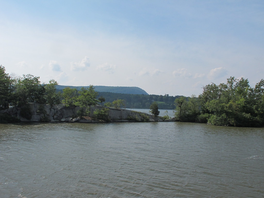 Yellow TrailHiking · ~9 min drivePhoto: kenner116, CC BY 2.0 (via Flickr)
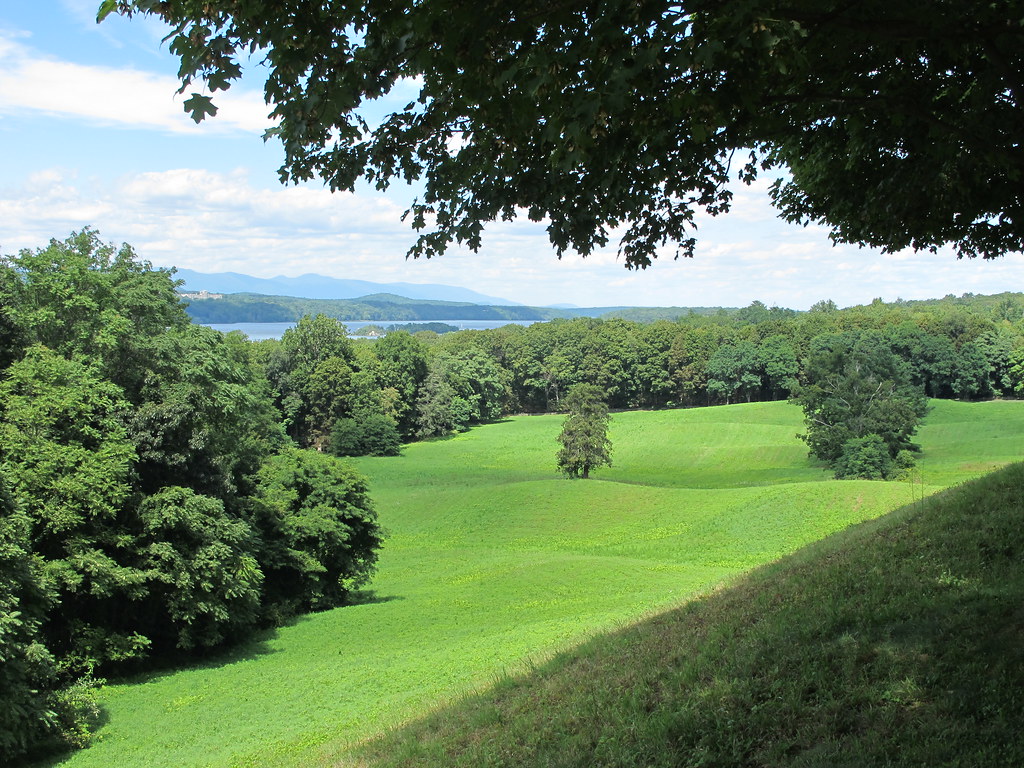 Vanderbilt Overlook trailHiking · ~6 min drivePhoto: kenner116, CC BY 2.0 (via Flickr)
 Bard Rock TrailHiking · ~6 min drivePhoto: kenner116, CC BY 2.0 (via Flickr)Blue TrailHiking · ~9 min drivePhoto: kenner116, CC BY 2.0 (via Flickr)
Best months: April and June–October. Best months have typical highs of 55–85 °F, lows of 30 °F or warmer (32 °F where the station doesn't record snow), at most one snowy day and no more than 12 wet days.
Jan
35° / 19°
11 wet
Feb
39° / 20°
9 wet
Mar
47° / 27°
10 wet
Apr
60° / 38°
11 wet
May
71° / 49°
13 wet
Jun
78° / 58°
12 wet
Jul
83° / 63°
11 wet
Aug
82° / 62°
11 wet
Sep
74° / 54°
9 wet
Oct
62° / 42°
10 wet
Nov
51° / 33°
10 wet
Dec
40° / 25°
11 wet
Typical high / low (°F) and days with rain or snow, 1991–2020. Measured at Poughkeepsie, NY, 2.7 mi away at 251 ft. This station doesn't record snowfall. Source: NOAA NCEI U.S. Climate Normals 1991–2020.
Map and trail data © OpenStreetMap contributors
