Margaret Lewis Norrie State Park Campground
Campground
Campground · 8.0 mi from the trail
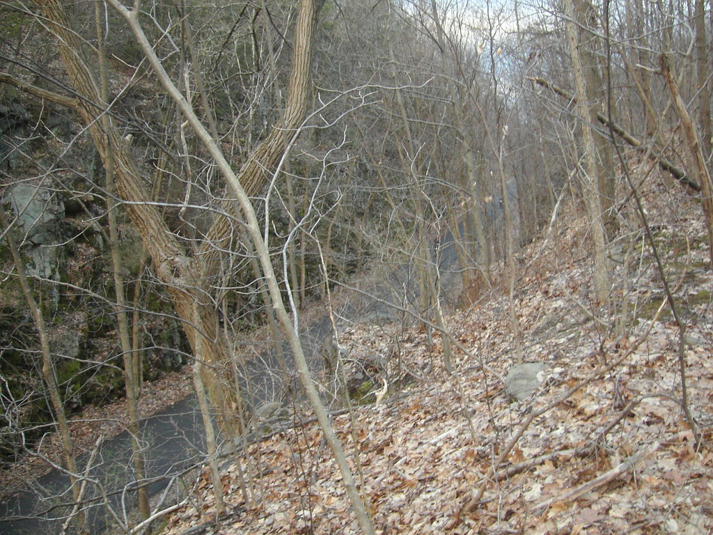 Photo: Russ Nelson, CC BY-SA 2.0 (via Flickr)
Yellow Trail is an easy hike of about 2.25 miles on Town Of Lloyd Land in New York, managed by city land and located about 1.2 miles from the town of Lloyd. The trail rises from a starting point at about 732 feet to a high of 1,034 feet, with a total climb of 353 feet. The steepest stretch comes early, at about 0.06 miles in, where the grade reaches 12 percent. The route also has a small descent of 314 feet, so the total gain is one way. For comfortable weather, aim for late spring or early fall. Typical averages from a nearby weather station in Poughkeepsie show May highs around 71°F and September highs around 74°F, though that station sits well below the trail, so temperatures on the higher ground run cooler. Nearby options include the Walkway Over the Hudson, about 2.7 miles away, and the Hudson Valley Greenway Trail (Hopewell Junction to Poughkeepsie), about 3.1 miles away. Climbers can head to Hyde Park Boulders, about 4.2 miles off, and the Chodikee Trail, about 4.6 miles away.
Margaret Lewis Norrie State Park Campground
Campground
The Sandwhich Shop
Restaurant
 If it rainsDaniel Case, CC BY-SA 3.0 · Wikimedia Commons
Children's museum in Poughkeepsie, NY
Places © OpenStreetMap contributors · Photos: Daniel Case, CC BY-SA 3.0 (commons)
More in New WindsorNot on Roamze yet. Their page has how to reach them.
Best months: April and June–October. Best months have typical highs of 55–85 °F, lows of 30 °F or warmer (32 °F where the station doesn't record snow), at most one snowy day and no more than 12 wet days.
Jan
35° / 19°
11 wet
Feb
39° / 20°
9 wet
Mar
47° / 27°
10 wet
Apr
60° / 38°
11 wet
May
71° / 49°
13 wet
Jun
78° / 58°
12 wet
Jul
83° / 63°
11 wet
Aug
82° / 62°
11 wet
Sep
74° / 54°
9 wet
Oct
62° / 42°
10 wet
Nov
51° / 33°
10 wet
Dec
40° / 25°
11 wet
Typical high / low (°F) and days with rain or snow, 1991–2020. Measured at Poughkeepsie, NY, 3.4 mi away at 251 ft. The station sits about 800 ft lower than this place, so expect it a little cooler here. This station doesn't record snowfall. Source: NOAA NCEI U.S. Climate Normals 1991–2020.
 Photo: Ron Cogswell, CC BY 2.0 (via Flickr)
Top Cottage Trail (green)
~9 min drive
2.02-mile out-and-back hike in New York with 306 ft elevation gain
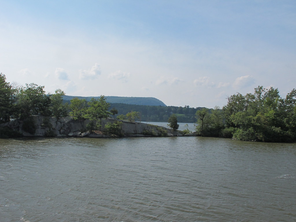 Photo: kenner116, CC BY 2.0 (via Flickr)
Yellow Trail
~11 min drive
0.68-mile point-to-point trail in New York with 168 ft gain
HIKE
Hudson Valley Greenway Trail (Hopewell Junction to Poughkeepsie)
~5 min drive
12.97-mile point-to-point trail from Hopewell Junction to Poughkeepsie, New York.
Photo: Ron Cogswell, CC BY 2.0 (via Flickr)Eleanor's Walk
~9 min drive
0.83-mile loop trail in New York with 88 ft elevation gain.
HIKE
Ridge Trail
~8 min drive
0.90-mile point-to-point trail in New York with 221 ft elevation gain.
HIKE
Hudson Valley Greenway Trail (New Paltz to South Kingston)
~10 min drive
13.28-mile point-to-point trail from New Paltz to South Kingston in New York.
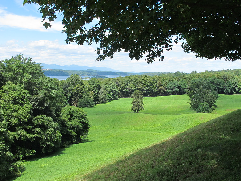 Photo: kenner116, CC BY 2.0 (via Flickr)
Vanderbilt Overlook trail
~10 min drive
0.78-mile out-and-back trail in New York managed by the National Park Service
HIKE
Orange Trail
~13 min drive
1.38-mile out-and-back trail in New York with 1,880 ft gain.
 Photo: kenner116, CC BY 2.0 (via Flickr)
Bard Rock Trail
~10 min drive
0.82-mile out-and-back trail with 145 ft gain in New York.
HIKE
Yellow Trail
~13 min drive
0.31-mile point-to-point trail in New York with 62 ft gain.
About 2.3 mi.
About 353 ft of climbing round trip.
It is rated easy.
About 1 hour round trip.
Daily highs and lows, wind and the chance of precipitation at the summit and route start for the next 7 days, from the Open-Meteo model.
Map and trail data © OpenStreetMap contributors
