Champlain Canal Water Trail
- Apr–Oct
- best months
Clear today
Weather is good · OpenWeather · checked just now
The Champlain Canal Water Trail is a paddling route in New York, about 1.6 miles from the small community of Lick Springs. It is a water trail, so there is no climb or distance to measure, and the route is best approached by canoe or kayak. Summer is the most comfortable time to paddle. Typical averages from a nearby weather station in Glens Falls show July highs around 82°F with lows near 58°F, while September cools to highs around 72°F. Several trails lie close by for pairing with a paddle. The Champlain Valley Trail (Fort Miller to Fort Edward) is about 1.8 miles away, and the Champlain Valley Trail (Schuylerville to Fort Miller) is about 5.3 miles away. Black Creek, another paddling option, is about 9.5 miles off, and the Top of the World Loop is about 6.1 miles away.
Local outfitters
- Troy Motor Boat and Canoe Club28 mi away
Not on Roamze yet. Their page has how to reach them.
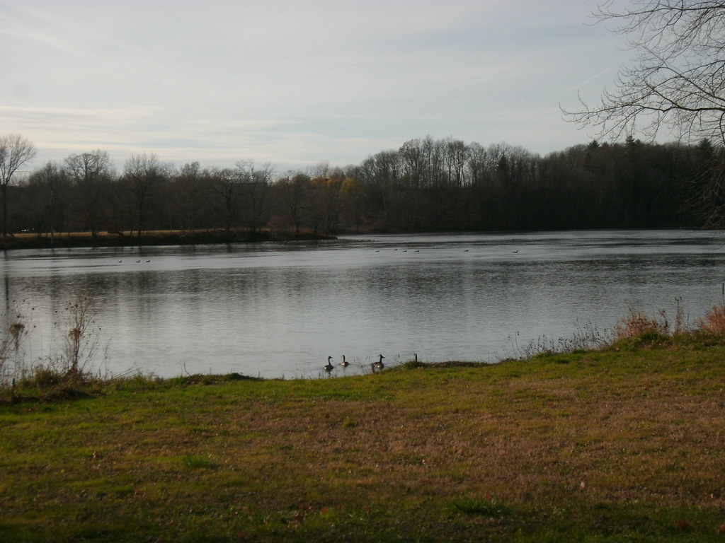 Champlain Valley Trail (Fort Miller to Fort Edward)HikingPhoto: Dougtone, CC BY-SA 2.0 (via Flickr)1.8 mi
- Champlain Valley Trail (Schuylerville to Fort Miller)Hiking5.3 mi
- top of the world loopHiking6.1 mi
 Champlain Valley Trail (Fort Edward to Fort Ann)HikingPhoto: New York Public Library, No restrictions (via Wikimedia Commons)7.2 mi
- TrailHiking7.8 mi
- Black CreekCanoeing9.5 mi
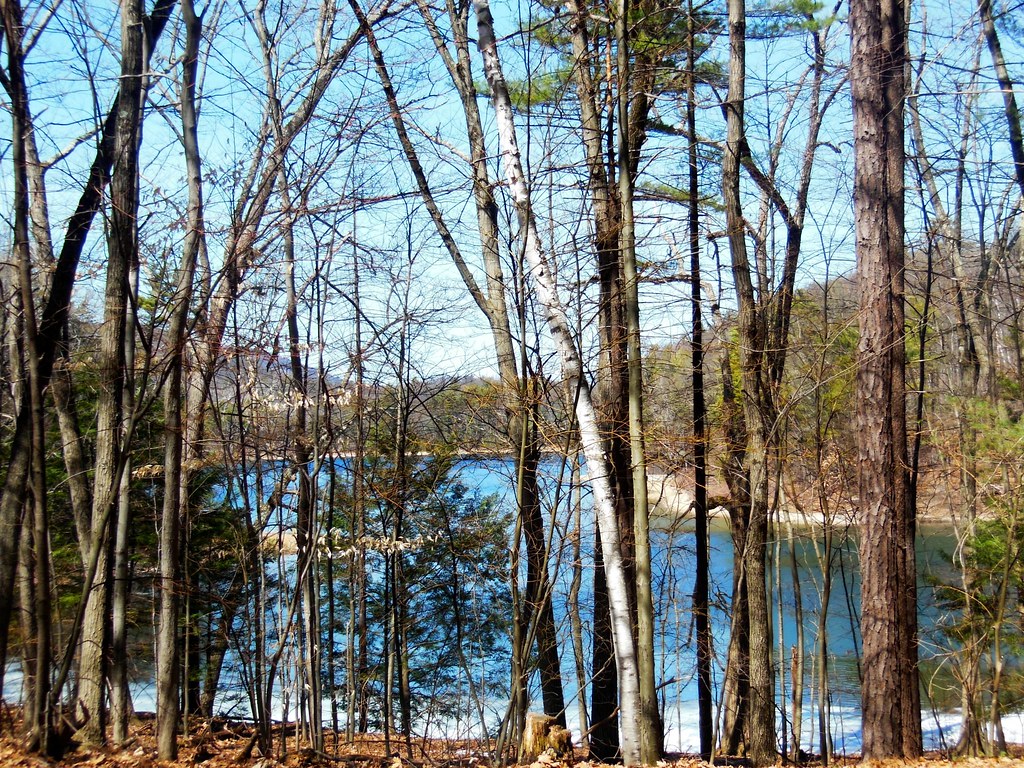 Mud Pond TrailHikingPhoto: dianecordell, CC BY 2.0 (via Flickr)9.9 mi
Source: Roamze catalog (indexable pages within 10 miles, PostGIS distance)
 Hudson RiverCanoeing · ~18 min drivePhoto: Dan DeLuca, CC BY 2.0 (via Wikimedia Commons)
- Schuylerville Public Boat LaunchBoat launch · ~9 min drive
 Otter CreekCanoeing · ~50 min drivePhoto: Ahale at English Wikipedia, Public domain (via Wikimedia Commons)
- Center Falls LandingBoat launch · ~11 min drive
- Black CreekCanoeing · ~16 min drive
- Big Boom Boat LaunchBoat launch · ~16 min drive
- Halfway BrookCanoeing · ~24 min drive
- Moreau Lake State ParkBoat launch · ~16 min drive
- Hoosic River Canoe RouteCanoeing · ~42 min drive
- Sherman Island Boat LaunchBoat launch · ~19 min drive
Best time to visit Champlain Canal Water Trail
Best months: April–October. Best months have typical highs of 55–85 °F, lows of 30 °F or warmer (32 °F where the station doesn't record snow), at most one snowy day and no more than 12 wet days.
Jan
30° / 10°
11 wet
Feb
33° / 11°
9 wet
Mar
42° / 21°
11 wet
Apr
57° / 33°
11 wet
May
69° / 44°
12 wet
Jun
77° / 53°
12 wet
Jul
82° / 58°
12 wet
Aug
80° / 56°
11 wet
Sep
72° / 48°
10 wet
Oct
59° / 37°
11 wet
Nov
47° / 28°
11 wet
Dec
35° / 18°
12 wet
Typical high / low (°F) and days with rain or snow, 1991–2020. Measured at Glens Falls Ap, NY, 12.8 mi away at 321 ft. This station doesn't record snowfall. Source: NOAA NCEI U.S. Climate Normals 1991–2020.
Map and trail data © OpenStreetMap contributors
