Champlain Valley Trail (Fort Edward to Fort Ann)
 Photo: New York Public Library, No restrictions (via Wikimedia Commons)
- 11.9 mi
- one way
- 12 ft
- climb
- 159 ft
- high point
- Point to point
- route
- Apr–Oct
- best months
The Champlain Valley Trail from Fort Edward to Fort Ann is an easy, low-elevation hike of about 12 miles that links two small towns in New York's Champlain Valley. The route starts in Fort Edward, about half a mile from town, and ends at Fort Ann, with a total climb of just 12 feet. It is a point-to-point trail, and the elevation change is so slight that it works well for a day on foot or on a bike. Bikes are allowed, so the trail suits both hikers and riders. The route is mostly flat, with the steepest stretch coming around the 9-mile mark, where the grade reaches about 3 percent. The start and end points sit at roughly 140 feet, with the high point at about 160 feet. For comfortable weather, late spring through early fall is the best window. Typical averages from the nearby Glens Falls airport weather station show June highs around 77°F and September highs around 72°F, with July the warmest month at about 82°F. Several other outings lie within a short drive. The Hudson River is about 4 miles away for paddlers, and the Warren County Bikeway is about 5 miles off. The Champlain Canal Water Trail and Halfway Brook are both within about 7 miles.
Best time to go · Apr–Oct
Best time to visit Champlain Valley Trail (Fort Edward to Fort Ann)
Best months: April–October. Best months have typical highs of 55–85 °F, lows of 30 °F or warmer (32 °F where the station doesn't record snow), at most one snowy day and no more than 12 wet days.
Jan
30° / 10°
11 wet
Feb
33° / 11°
9 wet
Mar
42° / 21°
11 wet
Apr
57° / 33°
11 wet
May
69° / 44°
12 wet
Jun
77° / 53°
12 wet
Jul
82° / 58°
12 wet
Aug
80° / 56°
11 wet
Sep
72° / 48°
10 wet
Oct
59° / 37°
11 wet
Nov
47° / 28°
11 wet
Dec
35° / 18°
12 wet
Typical high / low (°F) and days with rain or snow, 1991–2020. Measured at Glens Falls Ap, NY, 5.7 mi away at 321 ft. This station doesn't record snowfall. Source: NOAA NCEI U.S. Climate Normals 1991–2020.
Keep exploring — more trails worth the drive
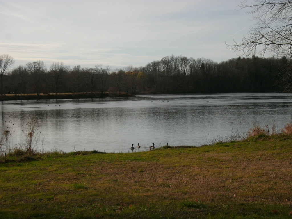 Photo: Dougtone, CC BY-SA 2.0 (via Flickr)
Champlain Valley Trail (Fort Miller to Fort Edward)
~11 min drive
7.43-mile point-to-point trail from Fort Miller to Fort Edward in New York.
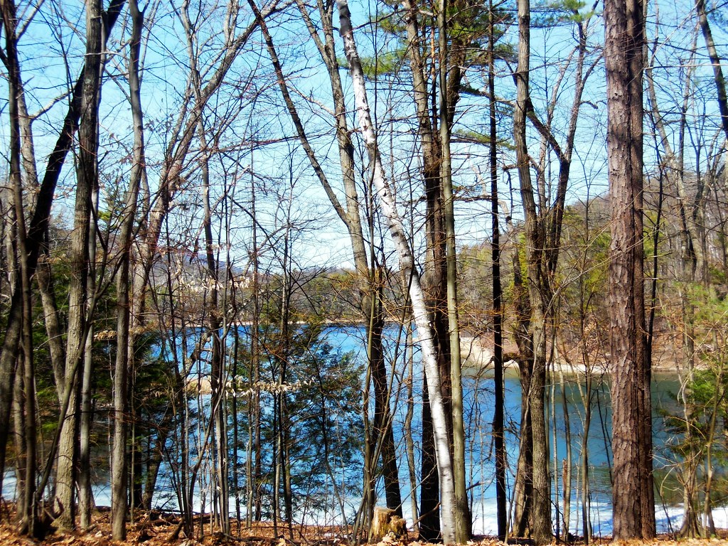 Photo: dianecordell, CC BY 2.0 (via Flickr)
Mud Pond Trail
~12 min drive
0.97-mile loop with 238 ft gain in New York State Park.
 Photo: Doug Kerr from Albany, NY, United States, CC BY-SA 2.0 (via Wikimedia Commons)
Western Ridge Trail
~17 min drive
Scenic 5-mile point-to-point ridge hike in New York.
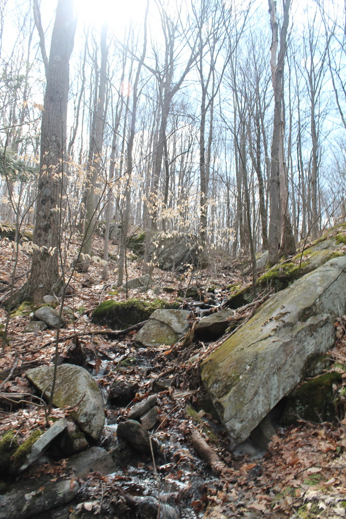 Photo: andyarthur, CC BY 2.0 (via Flickr)
Baker Trail
~13 min drive
0.89-mile point-to-point trail in New York with 503 ft gain
 Photo: andyarthur, CC BY 2.0 (via Flickr)
Red Oak Ridge Trail
~13 min drive
Red Oak Ridge Trail is a 1.64-mile point-to-point trail in New York with 506 ft gain.
HIKE
Delaware & Hudson Rail Trail
~30 min drive
15.96-mile out-and-back rail trail in Vermont with 777 ft elevation gain
Photo: andyarthur, CC BY 2.0 (via Flickr)Old Moreau Overlook Trail
~13 min drive
0.37-mile point-to-point trail in New York with 204 ft elevation loss
Photo: andyarthur, CC BY 2.0 (via Flickr)Ridge Run
~14 min drive
1.91-mile point-to-point trail in New York with 210 ft gain.
 Photo: New York Public Library, No restrictions (via Wikimedia Commons)
Buck Mt Trail -Section 2
~28 min drive
0.90-mile out-and-back trail in New York with 101 ft elevation gain.
 Photo: andyarthur, CC BY 2.0 (via Flickr)
Cottage Park Trail
~15 min drive
A 2.4-mile point-to-point trail through Cottage Park in New York.

Map and trail data © OpenStreetMap contributors
