Trail
- 1.6 mi
- round trip
- 96 ft
- climb
- 337 ft
- high point
- Out and back
- route
- Apr, Jun
- best months
This is an easy out-and-back hike of about 3.2 miles on Town of Wilton land in New York, on city-managed property. The route starts and ends at about 321 feet and reaches a high point of 337 feet, with the steepest stretch at roughly 0.8 miles in, where the grade reaches about 2%. The trail has no elevation gain, so it works well as a gentle walk rather than a climb. Late spring and early fall are the most comfortable times to go. Typical averages from a nearby weather station in Saratoga Springs put May highs around 73°F and September highs around 75°F, while July averages about 84°F and January highs sit near 32°F. Several other trails lie within a few miles, including Trail 2 (Headlands) at about 4.6 miles and the Green, Red and Blue trails at about 5.2 miles. The Champlain Canal Water Trail is roughly 7.8 miles away for paddlers.
- Trail 2 (Headlands)Hiking4.6 mi
- Green TrailHiking5.2 mi
- Red TrailHiking5.2 mi
- Blue TrailHiking5.2 mi
- Main TrailHiking5.3 mi
- The Fresh Wall, Spier Falls AreaRock climbing7.7 mi
- Champlain Canal Water TrailCanoeing7.8 mi
- Moreau AreaRock climbing8.4 mi
Source: Roamze catalog (indexable pages within 10 miles, PostGIS distance)
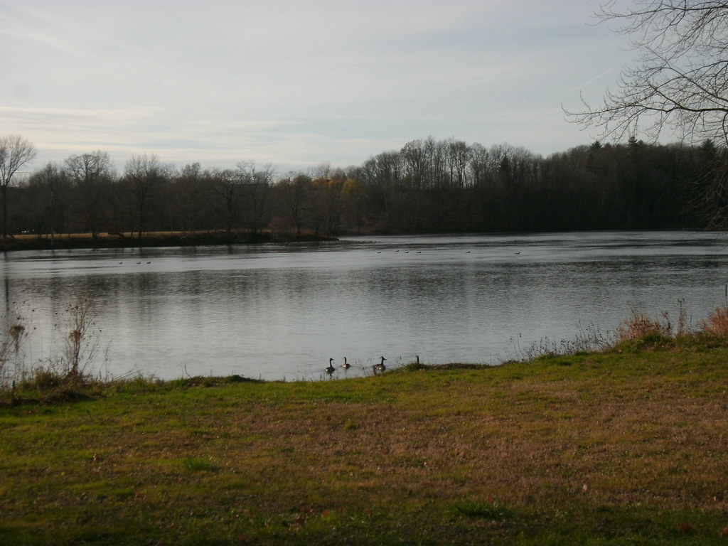 Champlain Valley Trail (Fort Miller to Fort Edward)Hiking · ~11 min drivePhoto: Dougtone, CC BY-SA 2.0 (via Flickr)
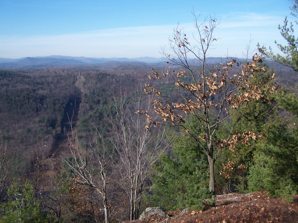 White Birch TrailHiking · ~12 min drivePhoto: andyarthur, CC BY 2.0 (via Flickr)
 Western Ridge TrailHiking · ~12 min drivePhoto: Doug Kerr from Albany, NY, United States, CC BY-SA 2.0 (via Wikimedia Commons)
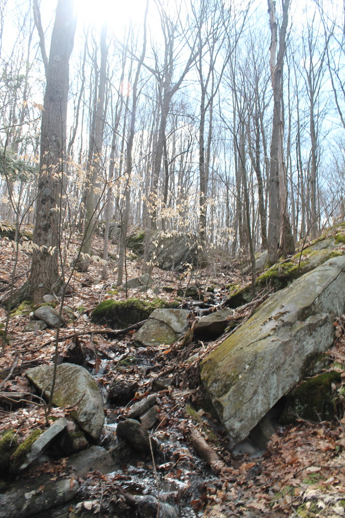 Old Moreau Overlook TrailHiking · ~13 min drivePhoto: andyarthur, CC BY 2.0 (via Flickr)
- Old TrailHiking · ~12 min drivePhoto: Doug Kerr from Albany, NY, United States, CC BY-SA 2.0 (via Wikimedia Commons)
- Baker TrailHiking · ~14 min drivePhoto: andyarthur, CC BY 2.0 (via Flickr)
- Eastern Ridge TrailHiking · ~12 min drivePhoto: Doug Kerr from Albany, NY, United States, CC BY-SA 2.0 (via Wikimedia Commons)
 Five Mile TrailHiking · ~15 min drivePhoto: New York Public Library, No restrictions (via Wikimedia Commons)
- Waterfall Trail (Blue)Hiking · ~12 min drivePhoto: andyarthur, CC BY 2.0 (via Flickr)
- Main TrailHiking · ~9 min drive
Best time to visit Trail
Best months: April, June and August–October. Best months have typical highs of 55–85 °F, lows of 30 °F or warmer (32 °F where the station doesn't record snow), at most one snowy day and no more than 12 wet days.
Jan
32° / 14°
12 wet
Feb
35° / 16°
10 wet
Mar
45° / 25°
11 wet
Apr
60° / 36°
11 wet
May
73° / 47°
13 wet
Jun
80° / 56°
12 wet
Jul
84° / 61°
13 wet
Aug
82° / 59°
11 wet
Sep
75° / 52°
10 wet
Oct
62° / 41°
11 wet
Nov
49° / 31°
12 wet
Dec
37° / 22°
12 wet
Typical high / low (°F) and days with rain or snow, 1991–2020. Measured at Saratoga Springs 4 Sw, NY, 9.2 mi away at 326 ft. This station doesn't record snowfall. Source: NOAA NCEI U.S. Climate Normals 1991–2020.
Map and trail data © OpenStreetMap contributors
