Champlain Valley Trail (Schuylerville to Fort Miller)
- 6.8 mi
- one way
- 56 ft
- climb
- 135 ft
- high point
- Point to point
- route
- Apr, Jun
- best months
The Champlain Valley Trail from Schuylerville to Fort Miller is a 6.75-mile point-to-point hike in New York, starting about 0.1 mile from the town of Schuylerville. The route is rated moderate, with a total elevation gain of 56 feet, and the steepest stretch comes at about 0.86 miles in, where the grade reaches 5%. The trail is a straightforward walk with little change in elevation. The start sits at about 125 feet, and the high point is around 135 feet. Bikes are allowed, so the route works for hikers and riders alike. For comfortable weather, aim for late spring or early fall. Typical averages from a nearby weather station in Saratoga Springs show May highs around 73°F and September highs around 75°F, with July the warmest month at about 84°F. The Champlain Canal Water Trail is about 5.3 miles away for paddlers. The Champlain Valley Trail from Fort Miller to Fort Edward is about 5.4 miles off, and the Top of the World Loop is about 7.5 miles away.
Best time to go · Apr, Jun
Best time to visit Champlain Valley Trail (Schuylerville to Fort Miller)
Best months: April, June and August–October. Best months have typical highs of 55–85 °F, lows of 30 °F or warmer (32 °F where the station doesn't record snow), at most one snowy day and no more than 12 wet days.
Jan
32° / 14°
12 wet
Feb
35° / 16°
10 wet
Mar
45° / 25°
11 wet
Apr
60° / 36°
11 wet
May
73° / 47°
13 wet
Jun
80° / 56°
12 wet
Jul
84° / 61°
13 wet
Aug
82° / 59°
11 wet
Sep
75° / 52°
10 wet
Oct
62° / 41°
11 wet
Nov
49° / 31°
12 wet
Dec
37° / 22°
12 wet
Typical high / low (°F) and days with rain or snow, 1991–2020. Measured at Saratoga Springs 4 Sw, NY, 12.8 mi away at 326 ft. This station doesn't record snowfall. Source: NOAA NCEI U.S. Climate Normals 1991–2020.
Keep exploring — more trails worth the drive
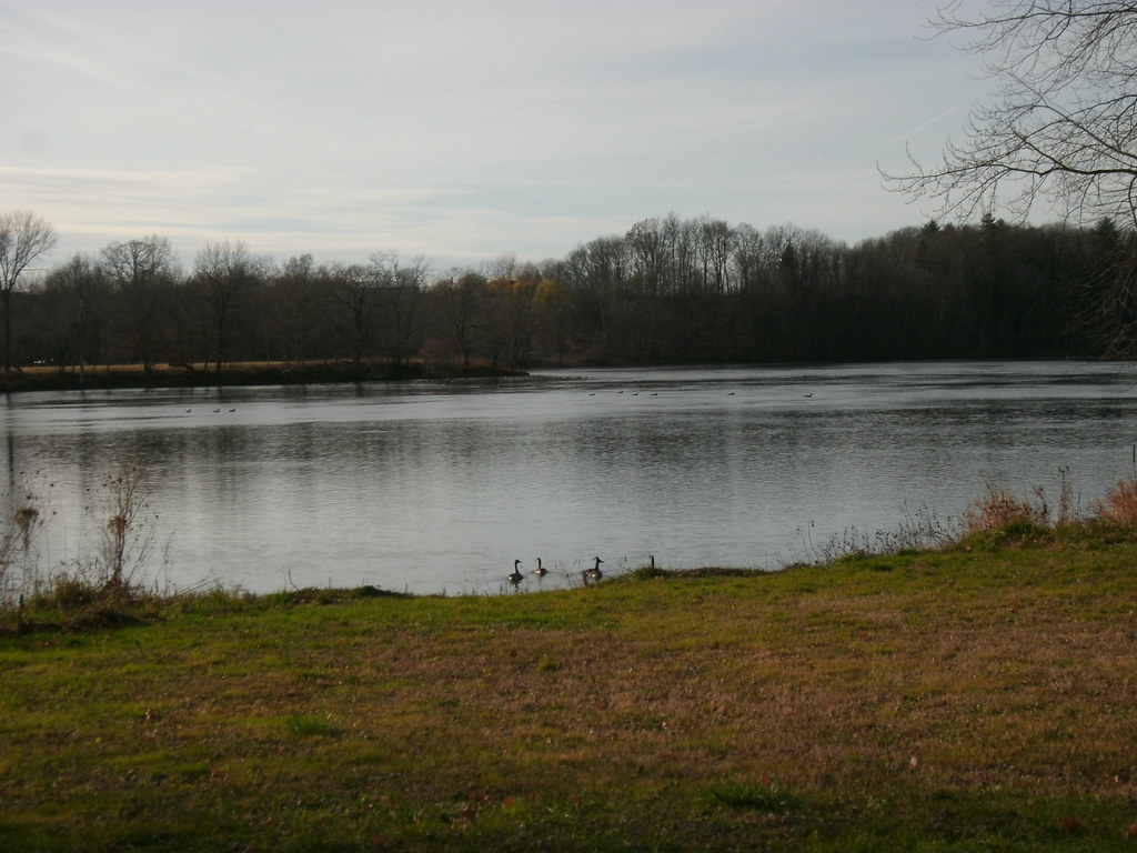 Photo: Dougtone, CC BY-SA 2.0 (via Flickr)
Champlain Valley Trail (Fort Miller to Fort Edward)
~9 min drive
7.43-mile point-to-point trail from Fort Miller to Fort Edward in New York.
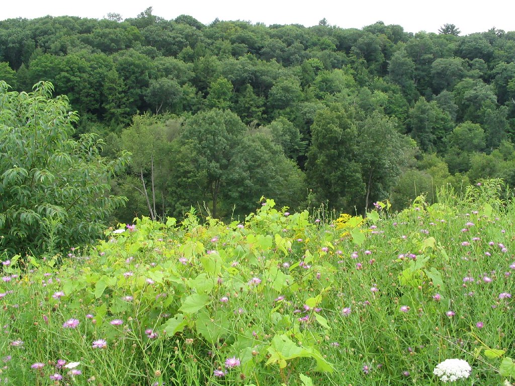 Photo: Ken Lund, CC BY-SA 2.0 (via Flickr)
Champlain Canal Tow Path
~11 min drive
1.32-mile out-and-back trail following the historic Champlain Canal tow path in New York.
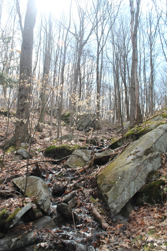 Photo: andyarthur, CC BY 2.0 (via Flickr)
Old Moreau Overlook Trail
~20 min drive
0.37-mile point-to-point trail in New York with 204 ft elevation loss
Photo: Ken Lund, CC BY-SA 2.0 (via Flickr)Stop 10 Trail
~11 min drive
1.66-mile out-and-back trail in New York with 92 ft of elevation gain.
 Photo: New York Public Library, No restrictions (via Wikimedia Commons)
Five Mile Trail
~21 min drive
A 5-mile point-to-point trail in New York with moderate terrain.
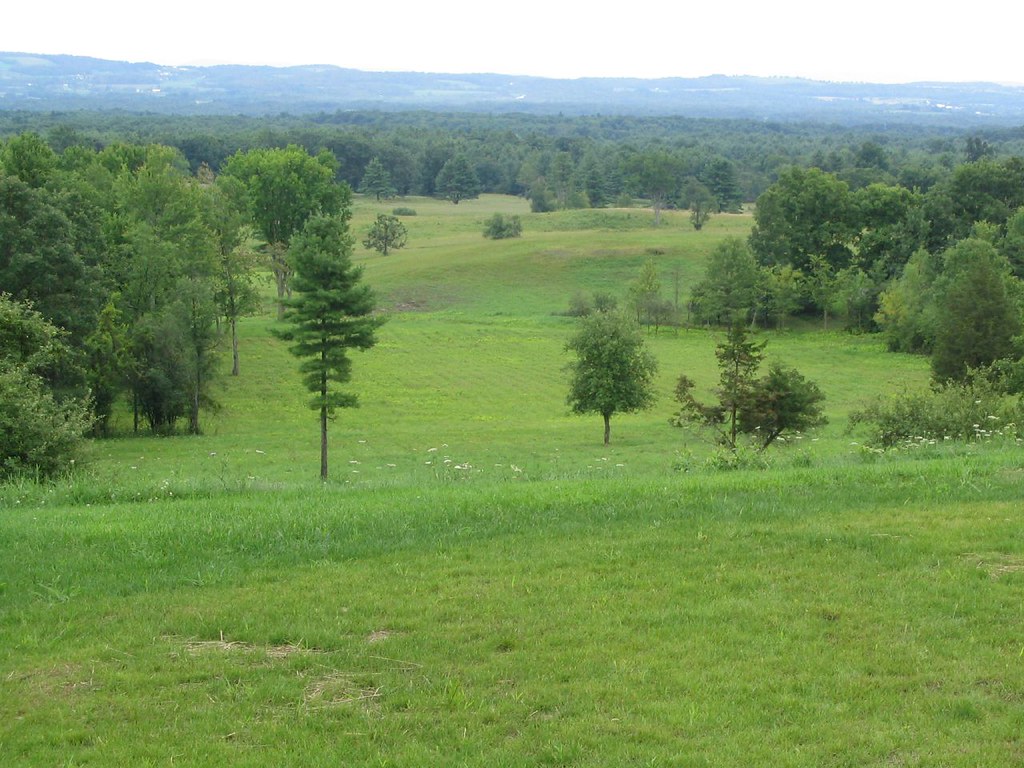 Photo: Ken Lund, CC BY-SA 2.0 (via Flickr)
Horse Trail
~12 min drive
7.56-mile out-and-back trail in New York with 194 ft elevation gain.
HIKE
Main Trail
~18 min drive
7.3-mile out-and-back hike in New York with 870 ft elevation gain
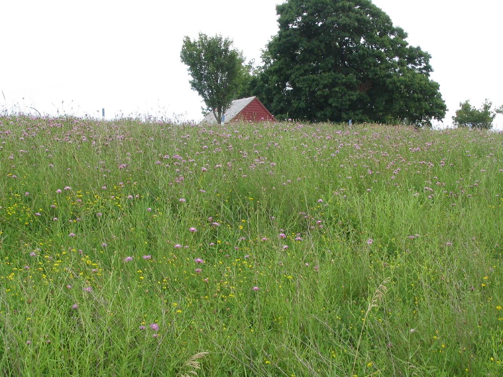 Photo: Ken Lund, CC BY-SA 2.0 (via Flickr)
Liason Trail
~12 min drive
Liason Trail is a 0.37-mile lollipop trail in New York with 11 feet of elevation gain.
Photo: Ken Lund, CC BY-SA 2.0 (via Flickr)Wilkinson Trail
~12 min drive
6.68-mile out-and-back hike in New York with 198 ft of elevation gain.
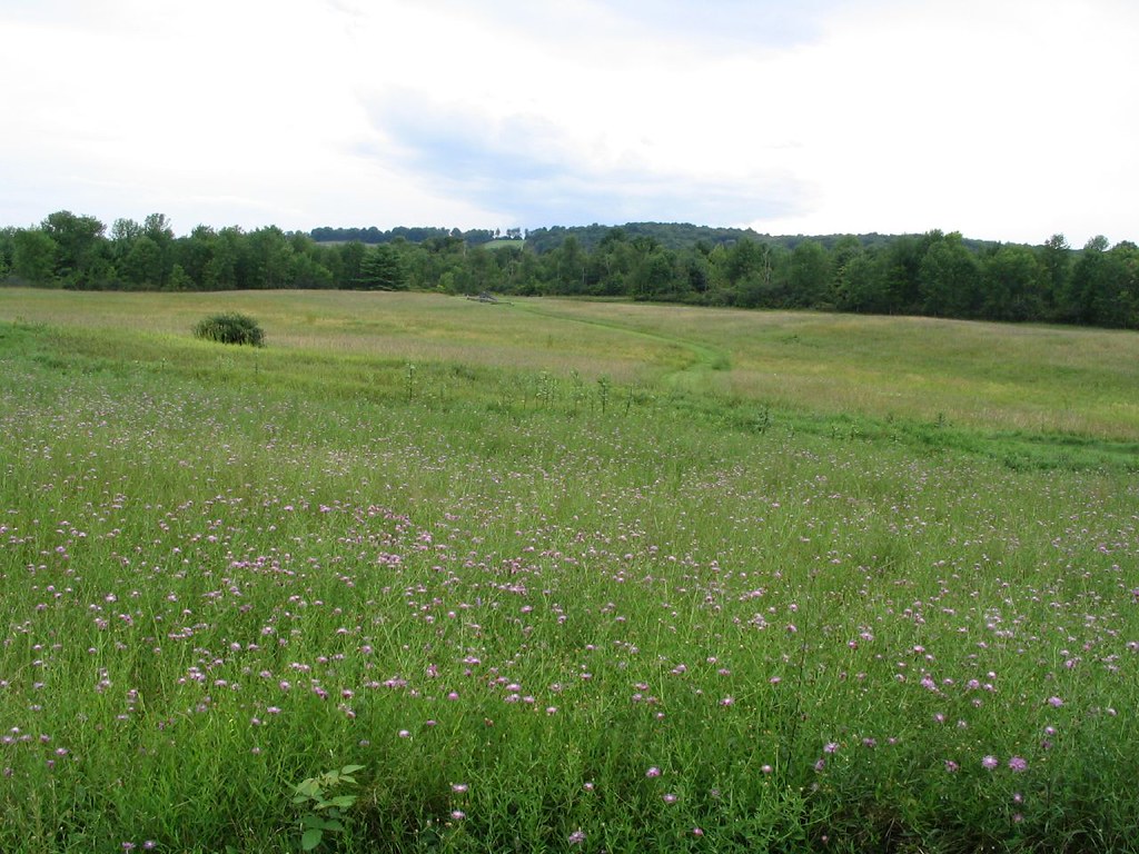 Photo: Ken Lund, CC BY-SA 2.0 (via Flickr)
Stop 6 Trail
~12 min drive
1.02-mile out-and-back trail in New York managed by the National Park Service.
Map and trail data © OpenStreetMap contributors
