Mamaroneck Motel
Motel
Motel · 1.5 mi from Mount Kisco
Yellow Trail is a short, moderate hike on County of Westchester land in New York, about a mile and a quarter from the town of Dobbs Ferry. The trail is an out-and-back route of about 2 miles, with a high point of 97 feet and a low of 48 feet. The climb is gentle, with an elevation gain of about 42 feet over the round trip, and the steepest stretch comes at roughly the 0.9-mile mark, where the grade reaches about 7%. For timing, late spring and early fall are the most comfortable seasons. Typical averages from a nearby weather station in Dobbs Ferry-Ardsley show highs around 73°F in May and 77°F in September, with July peaking near 86°F. The trail sits close to several other options. Leatherstocking Trail is about 1.7 miles away and White Trail about 1.8 miles. Upper Trail Peninsula, a climbing area, is about 1.9 miles off, and the Colonial Greenway is about 2.1 miles away.
Mamaroneck Motel
Motel
 If it rainsAlexandra.birenbaum, CC BY-SA 4.0 · Wikimedia Commons
Places © OpenStreetMap contributors · Photos: Alexandra.birenbaum, CC BY-SA 4.0 (commons)
More in Mount KiscoNot on Roamze yet. Their page has how to reach them.
Best months: April–June and August–October. Best months have typical highs of 55–85 °F, lows of 30 °F or warmer (32 °F where the station doesn't record snow), at most one snowy day and no more than 12 wet days.
Jan
40° / 23°
11 wet
Feb
43° / 25°
9 wet
Mar
51° / 31°
11 wet
Apr
63° / 40°
12 wet
May
73° / 50°
12 wet
Jun
81° / 59°
11 wet
Jul
86° / 64°
10 wet
Aug
84° / 63°
10 wet
Sep
77° / 56°
9 wet
Oct
65° / 45°
9 wet
Nov
54° / 36°
10 wet
Dec
44° / 29°
11 wet
Typical high / low (°F) and days with rain or snow, 1991–2020. Measured at Dobbs Ferry-Ardsley, NY, 5.7 mi away at 200 ft. This station doesn't record snowfall. Source: NOAA NCEI U.S. Climate Normals 1991–2020.
 Photo: Ira Gersh, Public Domain Mark (via Flickr)
Sprain Slick Rock Trail
~10 min drive
1.06-mile out-and-back trail in New York with 191 ft elevation gain.
 Photo: clembore, CC BY-SA 2.0 (via Flickr)
White Trail
~12 min drive
0.64-mile point-to-point trail in New York with 114 ft gain.
HIKE
Colonial Greenway
~4 min drive
A 12.3-mile point-to-point heritage trail through New York woodlands and meadows.
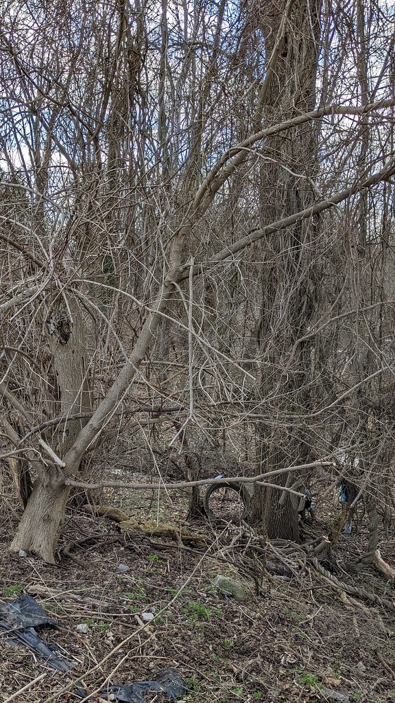 Photo: Ira Gersh, Public Domain Mark (via Flickr)
North Brothers Loop
~10 min drive
1.35-mile loop in New York with 354 ft gain and 356 ft loss
Photo: clembore, CC BY-SA 2.0 (via Flickr)Yellow Trail
~12 min drive
0.33-mile point-to-point trail in New York with 76 ft elevation gain.
Photo: Ira Gersh, Public Domain Mark (via Flickr)Valley Trail
~10 min drive
0.96-mile out-and-back trail in New York with 199 ft of elevation gain.
 Photo: Michael Cory, CC BY 2.0 (via Flickr)
Yellow Trail
~12 min drive
0.47-mile out-and-back trail in New York with 246 ft elevation gain.
Photo: Ira Gersh, Public Domain Mark (via Flickr)Algonquin Trail
~12 min drive
0.85-mile loop in New York with 278 ft elevation gain
HIKE
Yellow Trail
~9 min drive
A short point-to-point trail under a mile in New York.
Photo: Michael Cory, CC BY 2.0 (via Flickr)Ravine Trail
~12 min drive
0.30-mile point-to-point trail in New York with 129 ft gain
Map and trail data © OpenStreetMap contributors

