Jellystone Park at Birchwood Acres
Campground
Campground · 9.6 mi from the trail
Wurtsboro Ridge State Forest Upper O&W Rail Trail is a 6.6-mile out-and-back hike in New York, set within Wurtsboro Ridge State Forest and starting about 0.2 miles from the town of Summitville. The trail rises from a low point of 542 feet to a high of 715 feet, with a total elevation gain of 162 feet. The steepest stretch comes at about 1.1 miles in, where the grade reaches 6 percent. Late spring and early fall are the most comfortable times to go. Typical averages from a nearby weather station in Middletown show May highs around 70°F and September highs around 73°F, with July the warmest month at about 82°F. The trail sits close to several other routes. The D&H Canal Linear Park Towpath Trail is just 0.1 mile away, and the Mamakating O&W Rail Trail is about 0.7 mile off. The Wurtsboro Ridge State Forest Lower O&W Rail Trail lies roughly 1.4 miles away, and the Red Trail is about 3.1 miles away.
Jellystone Park at Birchwood Acres
Campground
Custer's Last Stand
Restaurant
 If it rainsThe original uploader was Daniel Case at English Wikipedia ., CC BY-SA 3.0 · Wikimedia Commons
Places © OpenStreetMap contributors · Photos: The original uploader was Daniel Case at English Wikipedia ., CC BY-SA 3.0 (commons)
More in New WindsorNot on Roamze yet. Their page has how to reach them.
Best months: April–October. Best months have typical highs of 55–85 °F, lows of 30 °F or warmer (32 °F where the station doesn't record snow), at most one snowy day and no more than 12 wet days.
Jan
34° / 18°
8 wet
Feb
37° / 18°
7 wet
Mar
47° / 26°
8 wet
Apr
60° / 38°
9 wet
May
70° / 48°
11 wet
Jun
78° / 57°
10 wet
Jul
82° / 62°
9 wet
Aug
81° / 60°
9 wet
Sep
73° / 53°
8 wet
Oct
62° / 43°
8 wet
Nov
50° / 33°
8 wet
Dec
39° / 24°
9 wet
Typical high / low (°F) and days with rain or snow, 1991–2020. Measured at Middletown 2 Nw, NY, 11 mi away at 700 ft. This station doesn't record snowfall. Source: NOAA NCEI U.S. Climate Normals 1991–2020.
 Photo: The original uploader was Daniel Case at English Wikipedia., CC BY-SA 3.0 (via Wikimedia Commons)
Red Trail
~5 min drive
2.08-mile out-and-back hike in New York with 532 ft gain and 1,769 ft max elevation.
 Photo: Tainanian, CC BY 2.0 (via Flickr)
Gertrude's Nose Trail
~21 min drive
5.42-mile out-and-back trail in New York with 2,744 ft elevation gain.
 Photo: Tainanian, CC BY 2.0 (via Flickr)
Millbrook Mountain Trail
~23 min drive
2.14-mile out-and-back hike in New York with 847 ft gain/loss.
HIKE
Fish Hatchery Trail (Red)
~21 min drive
8.94-mile out-and-back trail in New York with 2,496 ft elevation gain
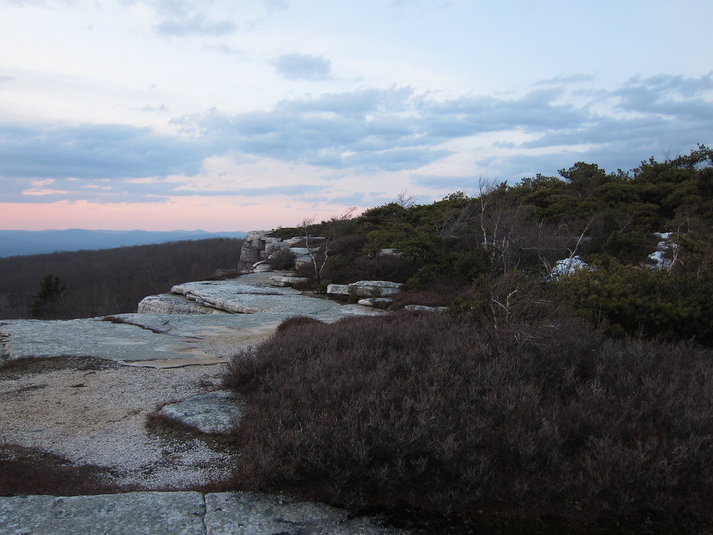 Photo: daveclausen, CC BY 2.0 (via Flickr)
Ice Cave
~11 min drive
0.80-mile point-to-point trail in New York with 370 ft elevation gain.
Photo: The original uploader was Daniel Case at English Wikipedia., CC BY-SA 3.0 (via Wikimedia Commons)O&W shared-use greenway trail (under development)
~9 min drive
4.74-mile out-and-back greenway in New York with 1,168 ft elevation gain
 Photo: ceonyc, CC BY-SA 2.0 (via Flickr)
Lake Awosting Carriageway
~18 min drive
3.45-mile loop around Lake Awosting in New York.
HIKE
High Falls Trail (Blue)
~17 min drive
3.88-mile out-and-back hike in New York with 1,208 ft gain and 1,373 ft max elevation.
Photo: ceonyc, CC BY-SA 2.0 (via Flickr)Trail to Stony Kill Falls
~18 min drive
0.55-mile point-to-point trail to Stony Kill Falls in New York.
HIKE
Red Trail
~18 min drive
7.24-mile out-and-back trail in New York with 1,946 ft elevation gain
Map and trail data © OpenStreetMap contributors

