Ward Brook Truck Trail
- 4.2 mi
- one way
- 515 ft
- climb
- 2,512 ft
- high point
- Point to point
- route
- May–Sep
- best months
Ward Brook Truck Trail is a 4.2-mile point-to-point hike in New York's High Peaks Wilderness, managed by the State Department of Conservation. The route rises from about 2,210 feet to a high point of 2,512 feet, with a total elevation gain of 515 feet. It is rated easy, and the trip is estimated to take about 1.5 hours. The trail is not wheelchair accessible, and bikes are not allowed. Horses are permitted, so it works well for riders as well as hikers. Summer is the most comfortable time to go. Typical July averages from the nearby Ray Brook weather station run to a high of 74°F and a low of 53°F, and the station sits roughly 900 feet lower than the trail's high point, so temperatures on the route run cooler. Bradley Pond Trail and Preston Ponds Trail are both within 2 miles, and Seymour Mountain Trail and Seward Mountain Trail are a little farther out.
Local outfitters
- Cloudsplitter Outfitters12 mi away
- Great Camp Sagamore36 mi away
Not on Roamze yet. Their page has how to reach them.
Best time to go · May–Sep
Best time to visit Ward Brook Truck Trail
Best months: May–September. Best months have typical highs of 55–85 °F, lows of 30 °F or warmer (32 °F where the station doesn't record snow), at most one snowy day and no more than 12 wet days.
Jan
23° / 5°
Feb
25° / 5°
Mar
34° / 14°
Apr
48° / 27°
May
61° / 39°
Jun
70° / 49°
Jul
74° / 53°
Aug
72° / 51°
Sep
66° / 44°
Oct
52° / 36°
Nov
40° / 26°
Dec
27° / 15°
Typical high / low (°F) and days with rain or snow, 1991–2020. Measured at Ray Brook, NY, 10.6 mi away at 1,620 ft. The station sits about 900 ft lower than this place, so expect it a little cooler here. This station doesn't record snowfall. Source: NOAA NCEI U.S. Climate Normals 1991–2020.
Keep exploring — more trails worth the drive
 Photo: ke9tv, CC BY-SA 2.0 (via Flickr)
Bradley Pond Trail
~3 min drive
7.83-mile point-to-point trail in New York with 1,366 ft gain
 Photo: andyarthur, CC BY 2.0 (via Flickr)
Calamity Brook - Indian Pass Crossover Trail
~10 min drive
1.64-mile point-to-point trail in New York with 417 ft gain.
 Photo: runJMrun, CC BY 2.0 (via Flickr)
Mount Colden Trail
~14 min drive
1.36-mile point-to-point trail in New York with 1,972 ft elevation gain
 Photo: ke9tv — CC BY-SA 2.0 (via Flickr)
Preston Ponds Trail
~3 min drive
4.62-mile point-to-point trail in New York with 897 ft elevation gain
 Photo: ke9tv, CC BY-SA 2.0 (via Flickr)
Northville-Placid Trail Spur to Cold R. Lean-Tos
~12 min drive
0.51-mile out-and-back trail to Cold R. Lean-Tos with 73 ft gain.
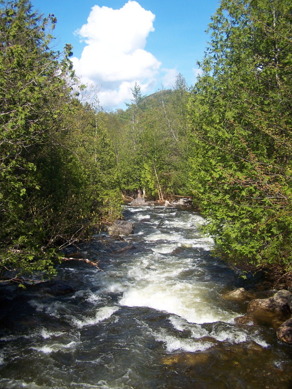 Photo: andyarthur, CC BY 2.0 (via Flickr)
Indian Pass Trail
~9 min drive
9.48-mile point-to-point trail in New York with 1,461 ft gain
Photo: ke9tv, CC BY-SA 2.0 (via Flickr)Calkins Brook Truck Trail
~13 min drive
9.33-mile point-to-point trail in New York with 1,304 ft elevation gain
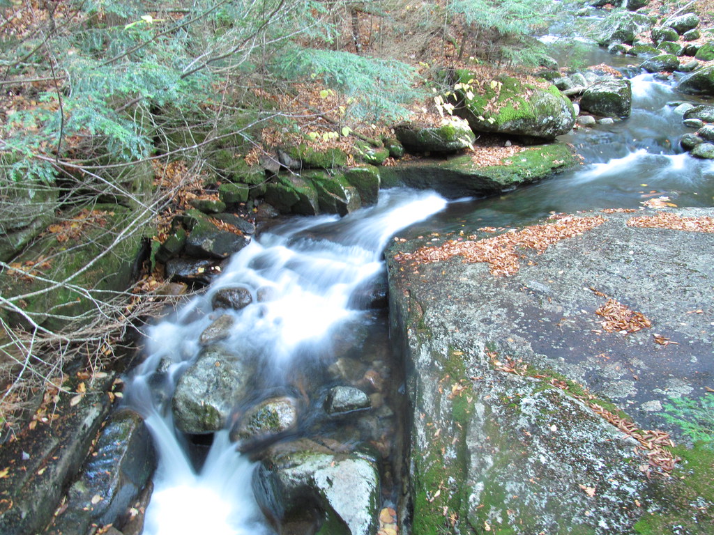 Photo: ke9tv, CC BY-SA 2.0 (via Flickr)
Old Northville-Placid Trail
~10 min drive
2.73-mile out-and-back hike in New York with 415 ft elevation gain.
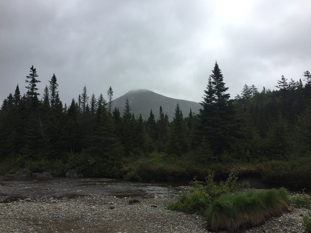 Photo: runJMrun, CC BY 2.0 (via Flickr)
Livingston Point Spur Trail
~13 min drive
0.49-mile out-and-back trail in New York with 109 ft of elevation gain.
 Photo: drsmith7383, CC BY 2.0 (via Flickr)
Wallface Ponds Trail
~10 min drive
3.61-mile point-to-point hike in New York with 2,252 ft gain

Map and trail data © OpenStreetMap contributors
