Truck Trail 7
- 2.2 mi
- round trip
- 961 ft
- climb
- 1,847 ft
- high point
- Out and back
- route
Clear at last check
Weather is good · OpenWeather · checked 23 h ago
Truck Trail 7 is an easy out-and-back hike in Charles E. Baker State Forest in New York, managed by the State Department of Conservation. The trail is about 4.3 miles long, with a total climb of about 961 feet, and the one-way gain is about 453 feet. The route starts at roughly 1,769 feet and reaches a high point of about 1,847 feet. The steepest stretch comes at about 1.8 miles in, with a grade of about 15%. Summer is the most comfortable time to go. Typical averages from a nearby weather station in Sherburne put July highs around 80°F with lows near 57°F, and the station sits about 750 feet lower than the trail, so temperatures on the trail run cooler. Truck Trail 1 is about 0.9 miles away and Truck Trail 12 about 1.5 miles. Cherry Ridge Camping Area is about 1.6 miles off, and Moscow Hill Assembly Area is about 2.8 miles away.
- Truck Trail 1Hiking0.9 mi
- Truck Trail 12Hiking1.5 mi
- Cherry Ridge Camping AreaCamping1.6 mi
 Truck Trail 8HikingPhoto: andyarthur, CC BY 2.0 (via Flickr)2.1 mi
- Truck Trail 13Hiking2.3 mi
- Moscow Hill Assembly AreaCamping2.8 mi
- Moscow Hill Horse CampCamping2.9 mi
- Chenango Tow PathHiking9.6 mi
Source: Roamze catalog (indexable pages within 10 miles, PostGIS distance)
- Truck Trail 8Hiking · ~4 min drivePhoto: andyarthur, CC BY 2.0 (via Flickr)
 Blue LoopHiking · ~34 min drivePhoto: javajoe6, CC BY-SA 3.0 (via Wikimedia Commons)
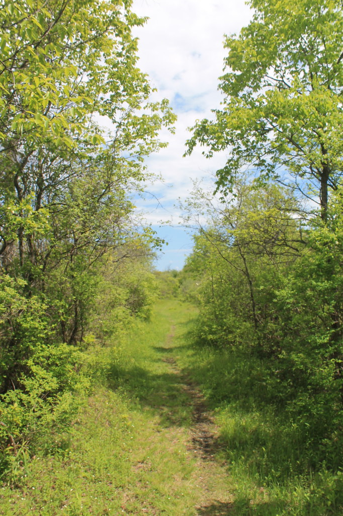 Link TrailHiking · ~40 min drivePhoto: andyarthur, CC BY 2.0 (via Flickr)
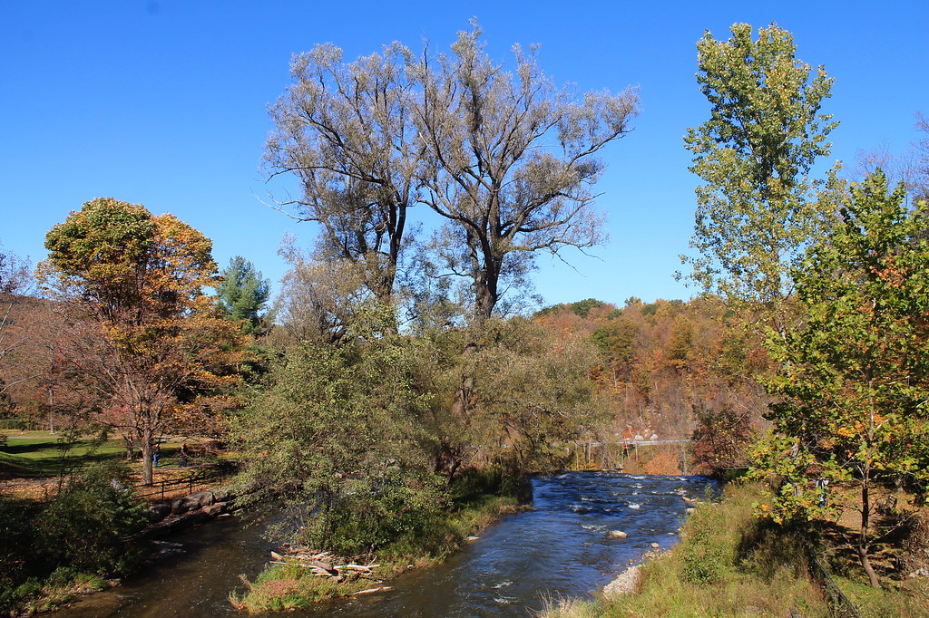 Lehigh Valley Railroad (Link Trail)Hiking · ~46 min drivePhoto: andyarthur, CC BY 2.0 (via Flickr)
 Kopac TrailHiking · ~38 min drivePhoto: javajoe6, CC BY-SA 3.0 (via Wikimedia Commons)
 Flt - O2 Ny 13 To Smith RdHiking · ~40 min drivePhoto: javajoe6, CC BY-SA 3.0 (via Wikimedia Commons)
- Link TrailHiking · ~39 min drive
- Erie Canalway Trail (Utica to Frankfort)Hiking · ~45 min drive
- Nelson Swamp Unique Area (Link Trail)Hiking · ~39 min drivePhoto: andyarthur, CC BY 2.0 (via Flickr)
- Truck Trail 13Hiking · ~4 min drive
Best time to visit Truck Trail 7
No month here meets our mild-weather rule. Best months have typical highs of 55–85 °F, lows of 30 °F or warmer (32 °F where the station doesn't record snow), at most one snowy day and no more than 12 wet days.
Jan
31° / 13°
17 wet
Feb
33° / 13°
14 wet
Mar
41° / 20°
15 wet
Apr
55° / 32°
14 wet
May
68° / 43°
14 wet
Jun
76° / 53°
14 wet
Jul
80° / 57°
13 wet
Aug
79° / 56°
13 wet
Sep
72° / 48°
13 wet
Oct
59° / 38°
15 wet
Nov
47° / 29°
15 wet
Dec
36° / 20°
17 wet
Typical high / low (°F) and days with rain or snow, 1991–2020. Measured at Sherburne, NY, 7.9 mi away at 1,095 ft. The station sits about 800 ft lower than this place, so expect it a little cooler here. This station doesn't record snowfall. Source: NOAA NCEI U.S. Climate Normals 1991–2020.
Map and trail data © OpenStreetMap contributors
