Chenango Tow Path
- 1.3 mi
- round trip
- 45 ft
- climb
- 1,128 ft
- high point
- Out and back
- route
Chenango Tow Path is an easy out-and-back hike in New York, about 0.3 miles from the town of Hamilton. The route is roughly 2.7 miles long, with a total climb of about 45 feet and a total descent of about 45 feet. The path stays nearly flat, with the highest point at about 1,128 feet and the lowest at about 1,117 feet. Summer is the most comfortable time to go. Typical averages from a nearby weather station in Sherburne show July highs around 80°F with lows near 57°F, while winter highs stay in the low 30s. The Chenango River, about 2.8 miles away, offers canoeing. Truck Trail 13 and the Moscow Hill Assembly Area campground are both about 7.7 miles off, and Cherry Ridge Camping Area is about 9.3 miles away.
 Chenango RiverCanoeingPhoto: Thaddeus P. Bejnar, CC0 (via Wikimedia Commons)2.8 mi
- Truck Trail 13Hiking7.6 mi
- Moscow Hill Assembly AreaCamping7.7 mi
- Moscow Hill Horse CampCamping7.7 mi
- Truck Trail 12Hiking9.2 mi
- Cherry Ridge Camping AreaCamping9.3 mi
- Truck Trail 7Hiking9.6 mi
Source: Roamze catalog (indexable pages within 10 miles, PostGIS distance)
 Truck Trail 8Hiking · ~18 min drivePhoto: andyarthur, CC BY 2.0 (via Flickr)
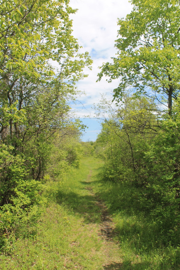 Link TrailHiking · ~24 min drivePhoto: andyarthur, CC BY 2.0 (via Flickr)
 Flt - O2 Ny 13 To Smith RdHiking · ~25 min drivePhoto: javajoe6, CC BY-SA 3.0 (via Wikimedia Commons)
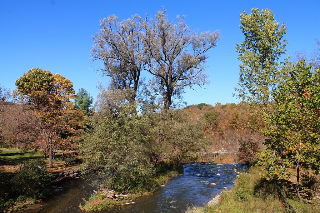 Lehigh Valley Railroad (Link Trail)Hiking · ~29 min drivePhoto: andyarthur, CC BY 2.0 (via Flickr)
- Nelson Swamp Unique Area (Link Trail)Hiking · ~23 min drivePhoto: andyarthur, CC BY 2.0 (via Flickr)
- Link TrailHiking · ~23 min drive
 Blue LoopHiking · ~32 min drivePhoto: javajoe6, CC BY-SA 3.0 (via Wikimedia Commons)
- FltHiking · ~24 min drivePhoto: javajoe6, CC BY-SA 3.0 (via Wikimedia Commons)
 Main TrailHiking · ~33 min drivePhoto: javajoe6, CC BY-SA 3.0 (via Wikimedia Commons)
 Interpretive TrailHiking · ~25 min drivePhoto: andyarthur, CC BY 2.0 (via Flickr)
Best time to visit Chenango Tow Path
No month here meets our mild-weather rule. Best months have typical highs of 55–85 °F, lows of 30 °F or warmer (32 °F where the station doesn't record snow), at most one snowy day and no more than 12 wet days.
Jan
31° / 13°
17 wet
Feb
33° / 13°
14 wet
Mar
41° / 20°
15 wet
Apr
55° / 32°
14 wet
May
68° / 43°
14 wet
Jun
76° / 53°
14 wet
Jul
80° / 57°
13 wet
Aug
79° / 56°
13 wet
Sep
72° / 48°
13 wet
Oct
59° / 38°
15 wet
Nov
47° / 29°
15 wet
Dec
36° / 20°
17 wet
Typical high / low (°F) and days with rain or snow, 1991–2020. Measured at Sherburne, NY, 10.8 mi away at 1,095 ft. This station doesn't record snowfall. Source: NOAA NCEI U.S. Climate Normals 1991–2020.
Map and trail data © OpenStreetMap contributors
