Kopac Trail
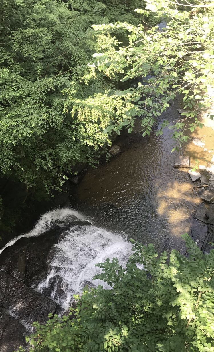
 Photo: javajoe6, CC BY-SA 3.0 (via Wikimedia Commons)
- 2.6 mi
- loop
- 438 ft
- climb
- 1,804 ft
- high point
- Loop
- route
- Sep
- best months
Kopac Trail is a 2.6-mile hike in Bowman Lake State Park in New York, managed by State Park and Recreation. The nearest town is East McDonough, about 1.7 miles away. The trail is rated easy, with a one-way climb of about 438 feet from a starting elevation of roughly 1,650 feet to a high point near 1,804 feet. The steepest stretch comes at about 2.2 miles, with a grade of about 21 percent. The route also has a small drop of about 466 feet, so the total round-trip gain is close to 438 feet. Summer is the most comfortable time to go. Typical averages from a nearby weather station in Norwich, NY, show July highs around 81°F and lows near 57°F, while temperatures on the trail run cooler because the station sits about 800 feet lower. Nearby, the Burpee (Orange) Trail and Brant (Yellow) Trail are both about 4.9 miles away, and the Blue Loop is a similar distance. The CCC Truck Trail is about 7.7 miles off.
- Burpee (Orange) TrailHiking4.9 mi
- Brant (Yellow) TrailHiking4.9 mi
 Blue LoopHikingPhoto: javajoe6, CC BY-SA 3.0 (via Wikimedia Commons)4.9 mi
- CCC Truck TrailHiking7.7 mi
Source: Roamze catalog (indexable pages within 10 miles, PostGIS distance)
- Blue LoopHiking · ~8 min drivePhoto: javajoe6, CC BY-SA 3.0 (via Wikimedia Commons)
 Flt - O1 Cuyler Hill SfHiking · ~30 min drivePhoto: javajoe6, CC BY-SA 3.0 (via Wikimedia Commons)
 Red TrailHiking · ~41 min drivePhoto: javajoe6, CC BY-SA 3.0 (via Wikimedia Commons)
 Chenango Canal TowpathHiking · ~36 min drivePhoto: Stephen Schweitzer, CC BY-SA 3.0 (via Wikimedia Commons)
- Flt - O1 Cuyler Hill Rd To Maxon Creek SfHiking · ~31 min drivePhoto: javajoe6, CC BY-SA 3.0 (via Wikimedia Commons)
- Flt - O1 Morgan Hill Sf SouthHiking · ~37 min drive
 Flt - O2 Ny 13 To Smith RdHiking · ~40 min drivePhoto: javajoe6, CC BY-SA 3.0 (via Wikimedia Commons)
 Irish HollowHiking · ~32 min drivePhoto: javajoe6, CC BY-SA 3.0 (via Wikimedia Commons)
 Main TrailHiking · ~41 min drivePhoto: javajoe6, CC BY-SA 3.0 (via Wikimedia Commons)
- Flt - O1 Maxon Creek SfHiking · ~32 min drivePhoto: javajoe6, CC BY-SA 3.0 (via Wikimedia Commons)
Best time to visit Kopac Trail
Best months: September. Best months have typical highs of 55–85 °F, lows of 30 °F or warmer (32 °F where the station doesn't record snow), at most one snowy day and no more than 12 wet days.
Jan
31° / 12°
17 wet
Feb
34° / 12°
14 wet
Mar
43° / 20°
15 wet
Apr
56° / 32°
15 wet
May
69° / 42°
14 wet
Jun
77° / 52°
13 wet
Jul
81° / 57°
13 wet
Aug
79° / 55°
13 wet
Sep
73° / 48°
12 wet
Oct
60° / 37°
14 wet
Nov
47° / 27°
15 wet
Dec
37° / 20°
17 wet
Typical high / low (°F) and days with rain or snow, 1991–2020. Measured at Norwich, NY, 8.5 mi away at 989 ft. The station sits about 800 ft lower than this place, so expect it a little cooler here. This station doesn't record snowfall. Source: NOAA NCEI U.S. Climate Normals 1991–2020.
Map and trail data © OpenStreetMap contributors
