Suffern-Bear Mountain
- 18.3 mi
- round trip
- 6,794 ft
- climb
- 1,272 ft
- high point
- Out and back
- route
- Apr–Oct
- best months
Suffern-Bear Mountain is a long, steep out-and-back hike in New York, about half a mile from the town of Suffern. The route is roughly 36.6 miles long, with a total elevation gain of 6,794 feet, and it reaches a high point of 1,272 feet. The climb is steady, and the steepest stretch comes at about 15.9 miles, where the grade reaches 34 percent. The route is rated expert, and it is not open to bikes or horses. For timing, late spring and early fall are the most comfortable. Typical averages from a nearby weather station show May highs around 71°F and September highs around 76°F, while July peaks near 84°F. That station sits well below the trail, so temperatures on the mountain run cooler. The trip takes about 15.5 hours. The White Diamond Trail and the climbing areas of Oliphant Boulder and Welcome Boulders are all about 1.8 miles away. The Ramapo River, a fishing spot across the state line in New Jersey, is about 2.3 miles off.
- Oliphant BoulderRock climbing1.8 mi
- Welcome BouldersRock climbing1.8 mi
- Tarzan SwingRock climbing1.8 mi
 White Diamond TrailHikingPhoto: New York Public Library, No restrictions (via Wikimedia Commons)1.8 mi
- Ramapo RiverRiver fishing2.3 mi
- 7 Hills TrailHikingPhoto: New York Public Library, No restrictions (via Wikimedia Commons)2.4 mi
- Seven HillsHikingPhoto: New York Public Library, No restrictions (via Wikimedia Commons)2.4 mi
- Monksville ReservoirLake fishing8.3 mi
Source: Roamze catalog (indexable pages within 10 miles, PostGIS distance)
- Seven HillsHiking · ~4 min drivePhoto: New York Public Library, No restrictions (via Wikimedia Commons)
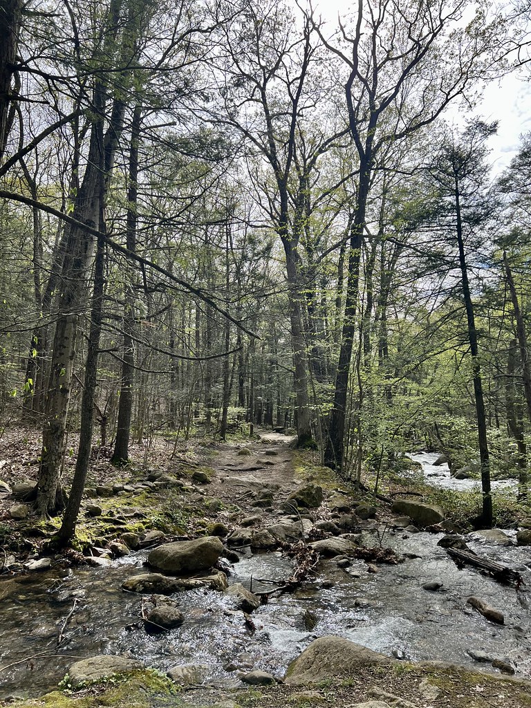 Raccoon Brook Hills TrailHiking · ~5 min drivePhoto: christinejwarner, CC BY 2.0 (via Flickr)
- Reeves Brook TrailHiking · ~5 min drivePhoto: christinejwarner, CC BY 2.0 (via Flickr)
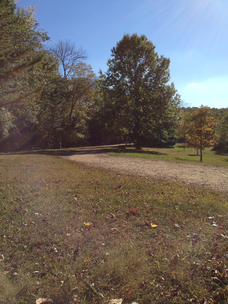 White TrailHiking · ~5 min drivePhoto: Flyinace2000, CC BY-SA 2.0 (via Flickr)
- Vista Spur TrailHiking · ~6 min drivePhoto: Flyinace2000, CC BY-SA 2.0 (via Flickr)
 Torne Valley RoadHiking · ~6 min drivePhoto: billybergen, CC BY 2.0 (via Flickr)
- Reservoir LoopHiking · ~6 min drivePhoto: Flyinace2000, CC BY-SA 2.0 (via Flickr)
 Kakiat TrailHiking · ~8 min drivePhoto: micronova, CC BY 2.0 (via Flickr)
- Stony BrookHiking · ~6 min drivePhoto: christinejwarner, CC BY 2.0 (via Flickr)
- White Diamond TrailHiking · ~3 min drivePhoto: New York Public Library, No restrictions (via Wikimedia Commons)
Best time to visit Suffern-Bear Mountain
Best months: April–October. Best months have typical highs of 55–85 °F, lows of 30 °F or warmer (32 °F where the station doesn't record snow), at most one snowy day and no more than 12 wet days.
Jan
38° / 20°
10 wet
Feb
40° / 20°
8 wet
Mar
48° / 29°
10 wet
Apr
59° / 39°
11 wet
May
71° / 50°
12 wet
Jun
79° / 58°
11 wet
Jul
84° / 64°
10 wet
Aug
83° / 63°
10 wet
Sep
76° / 56°
8 wet
Oct
64° / 43°
9 wet
Nov
53° / 35°
8 wet
Dec
43° / 27°
9 wet
Typical high / low (°F) and days with rain or snow, 1991–2020. Measured at Wanaque Raymond Dam, NJ, 8.8 mi away at 245 ft. The station sits about 1,000 ft lower than this place, so expect it a little cooler here. This station doesn't record snowfall. Source: NOAA NCEI U.S. Climate Normals 1991–2020.
Route details
- Distance
- 18.3 mi round trip
- Climbing
- About 6,794 ft
- Summit
- 1,116 ft
- Difficulty
- Expert
- Time
- About 7.5 hours
Questions about this route
How long is the Suffern-Bear Mountain on Panther Mountain?
About 18.3 mi round trip.
How much elevation gain is on the Suffern-Bear Mountain?
About 6,794 ft of climbing round trip.
How hard is the Suffern-Bear Mountain?
It is rated expert.
How long does the Suffern-Bear Mountain take?
About 7.5 hours round trip.
Conditions and forecast on Panther Mountain
Daily highs and lows, wind and the chance of precipitation at the summit and route start for the next 7 days, from the Open-Meteo model.
