Shoreline Walking Trail
- 1.9 mi
- round trip
- 672 ft
- climb
- 406 ft
- high point
- Out and back
- route
- Jun–Sep
- best months
Shoreline Walking Trail is a 1.9-mile hike on county land in Onondaga County, New York, set on an out-and-back route with a steady climb and a high point of 406 feet. The trail is easy in difficulty and lies on land managed by the county, about 4 miles from the Syracuse Hancock Intl airport. The route passes through a low point of 358 feet and ends at a similar elevation, with a total gain of 672 feet over the full length. The climb is steady and the steepest part comes within the first 0.07 miles at about 4%, so it's a short walk with a gentle rise and descent. For comfortable weather, late spring and early fall are the best bets. Typical averages from the nearby Syracuse airport show May highs around 69°F and September highs near 73°F, with July peaking at about 82°F. The trail makes an easy addition to a longer outing in the area. West Shore Trail is about 2 miles away, and the Onondaga Lake Circumnavigation paddling route is 2.3 miles off. The Erie Canalway Trail (Camillus to Syracuse) and Bear Trap Creek Bikeway are each about 4 miles away.
- West Shore TrailHiking2 mi
- Onondaga Lake CircumnavigationCanoeing2.3 mi
- Erie Canalway Trail (Camillus to Syracuse)Hiking4 mi
- Bear Trap Creek BikewayHiking4 mi
- Trail #6 DetourHiking4.2 mi
- Camillus Unique Area - Trail #4Hiking4.3 mi
- Camillus Unique Area - Trail #6Hiking4.5 mi
- Erie Canal Water TrailCanoeing7.2 mi
Source: Roamze catalog (indexable pages within 10 miles, PostGIS distance)
 Lake Loop TrailHiking · ~16 min drivePhoto: MattCC716, CC BY-SA 2.0 (via Flickr)
 Old Growth TrailHiking · ~24 min drivePhoto: edt11x, CC BY 2.0 (via Flickr)
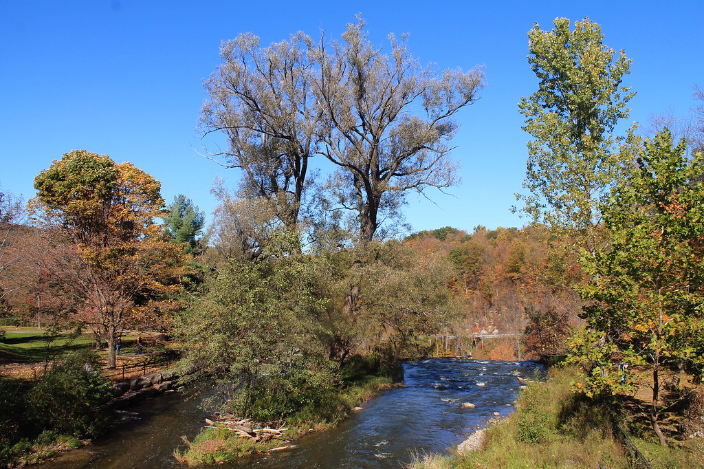 Lehigh Valley Railroad (Link Trail)Hiking · ~40 min drivePhoto: andyarthur, CC BY 2.0 (via Flickr)
 Deer Run TrailHiking · ~22 min drivePhoto: Doug Letterman, CC BY 2.0 (via Flickr)
- Erie Canalway Trail (Camillus to Syracuse)Hiking · ~7 min drive
- Cato-Fairhaven TrailHiking · ~39 min drive
 Farmer's Hill TrailHiking · ~23 min drivePhoto: Doug Letterman, CC BY 2.0 (via Flickr)
- Erie Canalway Trail (Syracuse to Dewitt)Hiking · ~10 min drive
- Vista TrailHiking · ~23 min drivePhoto: Doug Letterman, CC BY 2.0 (via Flickr)
- Lake TrailHiking · ~19 min drive
Best time to visit Shoreline Walking Trail
Best months: June–September. Best months have typical highs of 55–85 °F, lows of 30 °F or warmer (32 °F where the station doesn't record snow), at most one snowy day and no more than 12 wet days.
Jan
32° / 16°
19 wet
Feb
34° / 18°
16 wet
Mar
42° / 25°
16 wet
Apr
56° / 36°
14 wet
May
69° / 47°
13 wet
Jun
77° / 57°
12 wet
Jul
82° / 62°
12 wet
Aug
80° / 60°
11 wet
Sep
73° / 53°
11 wet
Oct
60° / 42°
15 wet
Nov
48° / 33°
16 wet
Dec
37° / 24°
18 wet
Typical high / low (°F) and days with rain or snow, 1991–2020. Measured at Syracuse Hancock Intl Ap, NY, 6.7 mi away at 413 ft. This station doesn't record snowfall. Source: NOAA NCEI U.S. Climate Normals 1991–2020.
Map and trail data © OpenStreetMap contributors
