Lake Loop Trail
 Photo: MattCC716, CC BY-SA 2.0 (via Flickr)
- 2.8 mi
- loop
- 47 ft
- climb
- 473 ft
- high point
- Loop
- route
- Jun–Sep
- best months
Lake Loop Trail is a 2.8-mile loop on Onondaga County land in New York, about 2.8 miles long with a total elevation gain of 47 feet. It's an easy hike, and the trail's gentle rise and fall make it a straightforward outing for anyone looking to spend a few hours on foot. The route is a loop, and the steepest part comes at about 0.56 miles in, where the grade reaches 10%. The trail's low point sits at 429 feet, and the high point is 473 feet. Summer is the most comfortable time to go. Typical averages from a nearby weather station in Fulton show July highs around 81°F with lows near 59°F, while winter brings January highs around 31°F and lows near 14°F. Other trails lie within about 10 miles, including Alec's Trail and 440 Ridge, both roughly 6 miles away, and the Shoreline Walking Trail and Camillus Unique Area - Trail #4, each about 9.5 miles off.
Best time to go · Jun–Sep
Best time to visit Lake Loop Trail
Best months: June–September. Best months have typical highs of 55–85 °F, lows of 30 °F or warmer (32 °F where the station doesn't record snow), at most one snowy day and no more than 12 wet days.
Jan
31° / 14°
23 wet
Feb
33° / 16°
19 wet
Mar
41° / 23°
17 wet
Apr
55° / 35°
16 wet
May
69° / 46°
15 wet
Jun
77° / 55°
12 wet
Jul
81° / 59°
12 wet
Aug
80° / 60°
12 wet
Sep
72° / 51°
12 wet
Oct
59° / 41°
17 wet
Nov
48° / 32°
17 wet
Dec
37° / 23°
22 wet
Typical high / low (°F) and days with rain or snow, 1991–2020. Measured at Fulton, NY, 8.6 mi away at 360 ft. This station doesn't record snowfall. Source: NOAA NCEI U.S. Climate Normals 1991–2020.
Keep exploring — more trails worth the drive
 Photo: Magicpiano, CC BY-SA 4.0 (via Wikimedia Commons)
Upland Ridge Trail
~33 min drive
0.55-mile point-to-point trail in New York with 67 ft gain.
 Photo: seabamirum, CC BY 2.0 (via Flickr)
Drumlin Trail
~34 min drive
Short point-to-point trail through New York's glacial drumlin landscape.
HIKE
Cato-Fairhaven Trail
~23 min drive
25.42-mile out-and-back hike in New York with 1,708 ft gain and 486 ft max elevation.
Photo: Magicpiano, CC BY-SA 4.0 (via Wikimedia Commons)Locktender's Trail
~34 min drive
0.30-mile point-to-point trail in New York with 82 ft gain
 Photo: edt11x, CC BY 2.0 (via Flickr)
Old Growth Trail
~40 min drive
0.45-mile out-and-back hike in New York with 53 ft gain and 170 ft loss.
HIKE
Erie Canalway Trail (Savannah to Port Byron)
~34 min drive
10.22-mile point-to-point trail from Savannah to Port Byron on the Erie Canalway in New York.
Photo: seabamirum, CC BY 2.0 (via Flickr)Lavoy's Trail
~34 min drive
Lavoy's Trail is a 0.60-mile point-to-point trail in New York.
 Photo: Carrotflower Productions International, CC BY-SA 2.0 (via Flickr)
Drumlin Trail
~46 min drive
0.73-mile point-to-point trail in New York with 173 ft gain
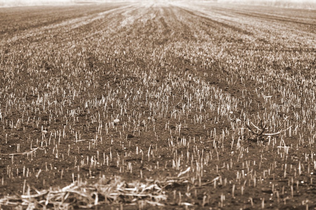 Photo: seabamirum, CC BY 2.0 (via Flickr)
Paper Mill Trail
~34 min drive
0.42-mile point-to-point trail in New York with 45 ft gain
HIKE
Erie Canalway Trail (Camillus to Syracuse)
~18 min drive
9.02-mile point-to-point trail from Camillus to Syracuse on the Erie Canalway.
Map and trail data © OpenStreetMap contributors
