Farmer's Hill Trail
 Photo: Doug Letterman, CC BY 2.0 (via Flickr)
- 1.4 mi
- loop
- 11 ft
- climb
- 720 ft
- high point
- Loop
- route
- Jun–Sep
- best months
Farmer's Hill Trail is a short, easy loop in Green Lakes State Park in New York, managed by State Park and Recreation. The route is about 1.4 miles long and rises just 11 feet from the start, so it is a gentle walk that can be done in a single trip. The trail is a loop that begins and ends at nearly the same elevation, around 719 feet. It reaches a high of 720 feet, with the steepest stretch coming at about 0.84 miles in, where the grade is about 4 percent. Bikes are allowed. Late spring through early fall is the most comfortable time to go. Typical averages from the nearby Syracuse weather station run from highs around 69°F in May to about 73°F in September, with July the warmest at around 82°F. That station sits about 300 feet lower than the trail, so expect it to run a little cooler up high. Several other trails start close by. Vista Trail is about 0.1 mile away and Overlook Trail about 0.3 mile, with Deer Run Trail and Old Growth Trail within about half a mile. For climbers, Green Lakes State Park has climbing areas about 0.8 mile away.
Best time to go · Jun–Sep
Best time to visit Farmer's Hill Trail
Best months: June–September. Best months have typical highs of 55–85 °F, lows of 30 °F or warmer (32 °F where the station doesn't record snow), at most one snowy day and no more than 12 wet days.
Jan
32° / 16°
19 wet
Feb
34° / 18°
16 wet
Mar
42° / 25°
16 wet
Apr
56° / 36°
14 wet
May
69° / 47°
13 wet
Jun
77° / 57°
12 wet
Jul
82° / 62°
12 wet
Aug
80° / 60°
11 wet
Sep
73° / 53°
11 wet
Oct
60° / 42°
15 wet
Nov
48° / 33°
16 wet
Dec
37° / 24°
18 wet
Typical high / low (°F) and days with rain or snow, 1991–2020. Measured at Syracuse Hancock Intl Ap, NY, 7.2 mi away at 413 ft. This station doesn't record snowfall. Source: NOAA NCEI U.S. Climate Normals 1991–2020.
Keep exploring — more trails worth the drive
Photo: Doug Letterman, CC BY 2.0 (via Flickr)Overlook Trail
Next door
Short point-to-point trail with scenic overlook views in New York.
 Photo: edt11x, CC BY 2.0 (via Flickr)
Old Growth Trail
~1 min drive
0.45-mile out-and-back hike in New York with 53 ft gain and 170 ft loss.
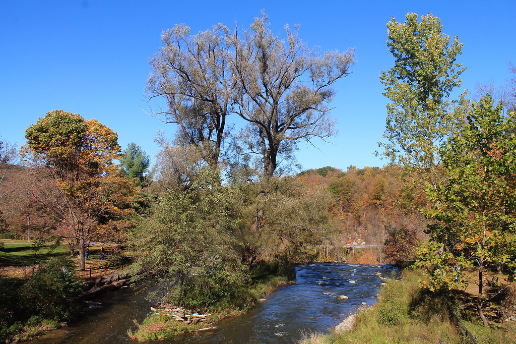 Photo: andyarthur, CC BY 2.0 (via Flickr)
Lehigh Valley Railroad (Link Trail)
~17 min drive
14.29-mile out-and-back trail in New York with 892 ft gain
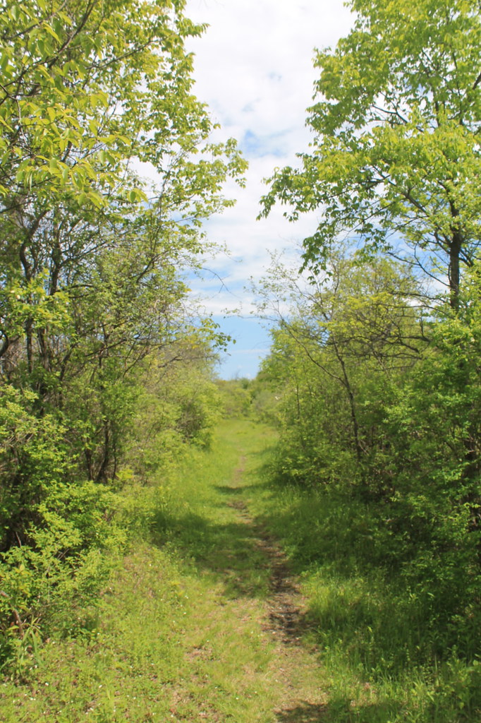 Photo: andyarthur, CC BY 2.0 (via Flickr)
Link Trail
~24 min drive
Demanding 15.8-mile out-and-back trail in New York for experienced hikers.
 Photo: Doug Letterman, CC BY 2.0 (via Flickr)
Deer Run Trail
Next door
2.49-mile point-to-point trail in New York with 1,669 ft gain
HIKE
Lake Trail
~10 min drive
Easy point-to-point trail to a scenic lake in New York.
HIKE
Old Erie Canal State Historic Park
~22 min drive
32.17-mile point-to-point trail in New York with 414 ft elevation gain.
Photo: edt11x, CC BY 2.0 (via Flickr)Rolling Hills Trail
~1 min drive
1.39-mile out-and-back trail in New York with 142 ft gain.
HIKE
Erie Canalway Trail (Syracuse to Dewitt)
~14 min drive
6.18-mile point-to-point trail from Syracuse to Dewitt on the Erie Canalway in New York.
 Photo: Doug Letterman, CC BY 2.0 (via Flickr)
Round Lake Trail
~1 min drive
0.89-mile loop around Round Lake in New York with 1,020 ft of elevation gain.
Map and trail data © OpenStreetMap contributors
