Chingacook Island
Campground
Campground · 4.6 mi from the trail
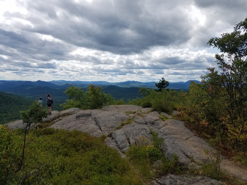 Photo: ke9tv, CC BY-SA 2.0 (via Flickr)
The Richard Hayes Phillips Trail is a 2.6-mile moderate hike in New York's State Conservation Area, managed by the State Department of Conservation. The route rises from about 1,615 feet to about 1,939 feet, with a total elevation gain of 739 feet and a steepest stretch of about 23% at roughly 0.5 miles in. Late spring and early fall are the most comfortable times to go. Typical averages from a nearby weather station at Glens Falls Farm show May highs around 71°F and September highs around 74°F, though that station sits well below the trail, so temperatures on the route run cooler. The Cat Mountain Blue Trail starts just 0.1 mile away, and the Cat Mountain Red Trail and old logging trail are both within a mile. For fishing, The Sagamore is about 3.4 miles off.
Chingacook Island
Campground
Town of Horicon Museum
Museum
Places © OpenStreetMap contributors
More in Schroon LakeNot on Roamze yet. Their page has how to reach them.
Best months: May–October. Best months have typical highs of 55–85 °F, lows of 30 °F or warmer (32 °F where the station doesn't record snow), at most one snowy day and no more than 12 wet days.
Jan
31° / 6°
10 wet
Feb
34° / 7°
8 wet
Mar
44° / 18°
9 wet
Apr
58° / 30°
10 wet
May
71° / 42°
11 wet
Jun
79° / 52°
11 wet
Jul
84° / 57°
10 wet
Aug
82° / 54°
9 wet
Sep
74° / 46°
9 wet
Oct
60° / 35°
10 wet
Nov
48° / 24°
9 wet
Dec
37° / 14°
10 wet
Typical high / low (°F) and days with rain or snow, 1991–2020. Measured at Glens Falls Farm, NY, 17.3 mi away at 504 ft. The station sits about 1,400 ft lower than this place, so expect it a little cooler here. This station doesn't record snowfall. Source: NOAA NCEI U.S. Climate Normals 1991–2020.
 Photo: ke9tv, CC BY-SA 2.0 (via Flickr)
old logging trail
~1 min drive
2.2-mile out-and-back logging trail in New York with 448 ft elevation gain
 Photo: New York Public Library, No restrictions (via Wikimedia Commons)
Pinnacle Red Trail
~3 min drive
2.16-mile out-and-back trail in New York with 1,117 ft elevation gain
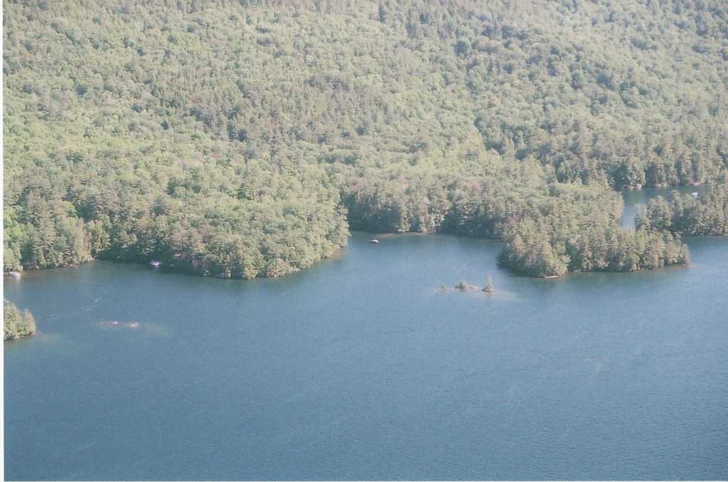 Photo: sdunigan518, CC BY 2.0 (via Flickr)
Lakeside Trail
~13 min drive
6.56-mile out-and-back hike in New York with 2,630 ft elevation gain
Photo: ke9tv, CC BY-SA 2.0 (via Flickr)Cat Mountain Red Trail
~1 min drive
0.96-mile point-to-point trail in New York with 250 ft gain.
 Photo: Granato31415, CC BY-SA 4.0 (via Wikimedia Commons)
Buck Mt Trail
~11 min drive
0.30-mile out-and-back trail in New York with 3 ft elevation gain.
HIKE
Tongue Mountain Range Trail
~13 min drive
Point-to-point ridge hike with multiple peaks and panoramic views.
 Photo: philipmatarese, CC BY 2.0 (via Flickr)
Northwest Bay Trail
~7 min drive
5.04-mile point-to-point trail in New York with 1,675 ft elevation gain
Photo: Granato31415, CC BY-SA 4.0 (via Wikimedia Commons)Pilot Knob path
~11 min drive
2.12-mile out-and-back trail in New York with 1,473 ft gain and 1,473 ft loss.
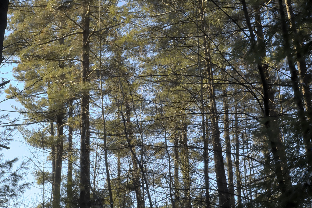 Photo: CarbonNYC [in SF!], CC BY 2.0 (via Flickr)
Fish Loop Trail
~13 min drive
1.10-mile loop trail in New York with 213 ft elevation gain
 Photo: New York Public Library, No restrictions (via Wikimedia Commons)
Buck Mt Trail -Section 2
~12 min drive
0.90-mile out-and-back trail in New York with 101 ft elevation gain.
Map and trail data © OpenStreetMap contributors
