Red Trail
- 1.0 mi
- round trip
- 149 ft
- climb
- Out and back
- route
- Easy
- difficulty
Red Trail is a short, easy hike in New York, about a mile long and roughly 2 miles round trip. It is an out-and-back route that gains about 150 feet in elevation, with the high point at 581 feet and the low point at 546 feet. The climb is front-loaded, with the steepest stretch at about 0.4 miles in, and the trail is rated easy. The route starts at an elevation of about 551 feet, and the total gain and loss are each about 150 feet. The hike takes about half an hour, so it works well as a quick outing. The nearest town is Cape Vincent, about 49 miles away. The Blue Trail lies about 0.7 miles from Red Trail, and the Trans Canada Trail is about 7 miles away.
Source: Roamze catalog (indexable pages within 10 miles, PostGIS distance)
 Trans Canada TrailHiking · ~18 min drivePhoto: Community Archives, Public domain (via Wikimedia Commons)
 Gunpo TrailHiking · ~53 min drivePhoto: Community Archives, Public domain (via Wikimedia Commons)
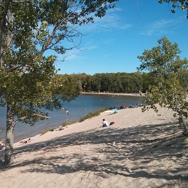 Sandbanks Dunes TrailHiking · ~1h 17m drivePhoto: mathewingram, CC BY 2.0 (via Flickr)
- Trans Canada TrailHiking · ~12 min drive
- Rideau Trail Slide Lake LoopHiking · ~55 min drive
- Trans Canada TrailHiking · ~18 min drive
 Trans Canada TrailHiking · ~53 min drivePhoto: Bobolink, CC BY 2.0 (via Flickr)
- Doe Lake TrailHiking · ~49 min drive
- Hastings Heritage Trail (Warning: Extreme Flooding Risk)Hiking · ~52 min drive
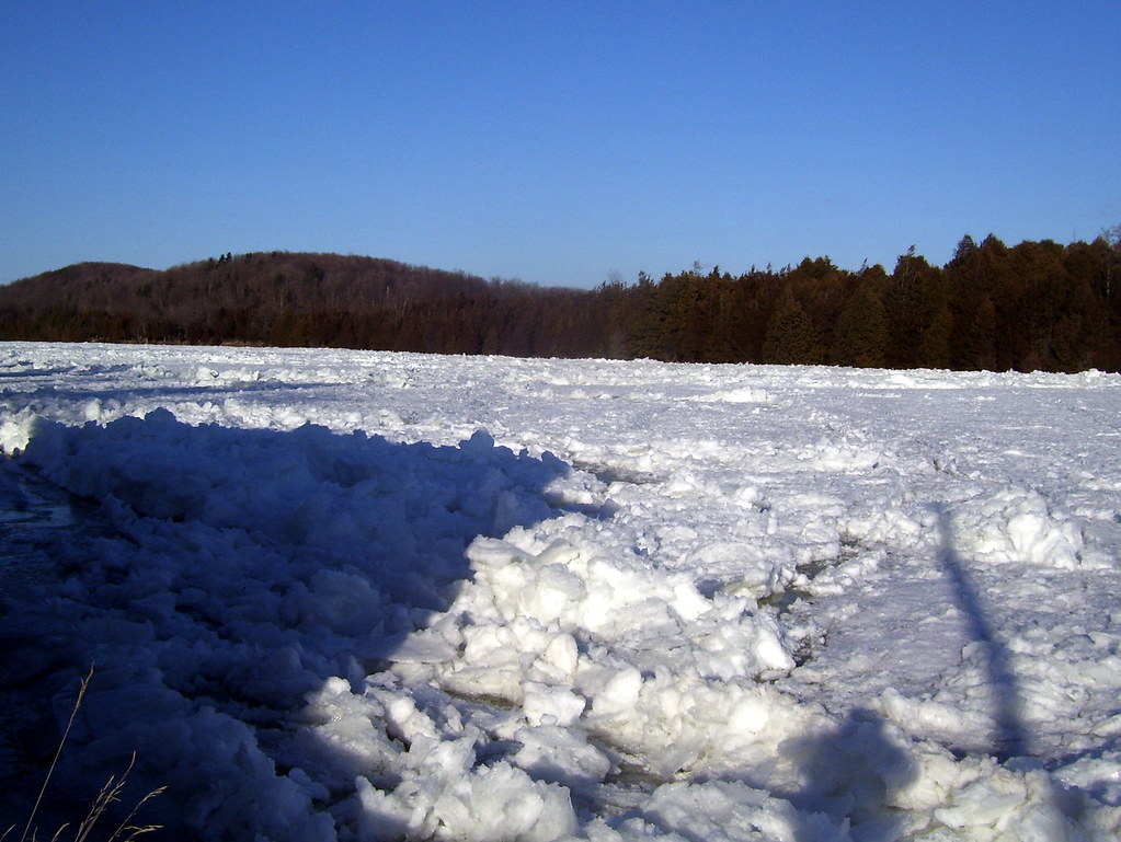 Batawa Riverfront TrailHiking · ~1h drivePhoto: Bobolink, CC BY 2.0 (via Flickr)
Map and trail data © OpenStreetMap contributors
