Blue Trail
- 3.3 mi
- loop
- 617 ft
- climb
- Loop
- route
- Easy
- difficulty
Blue Trail is a 3.3-mile hike in New York, about 49 miles from the town of Cape Vincent. It is an easy route with a total elevation gain of 617 feet, and the climb is spread out along the way rather than concentrated in one stretch. The trail starts at about 574 feet and reaches a high point of 671 feet. The steepest section comes at about 0.83 miles in, with a grade of 9 percent. The total descent is 631 feet, so the trail is roughly balanced between gain and loss. The hike takes about 1.5 hours to complete. The Red Trail lies just 0.7 miles away, and the Trans Canada Trail is about 6 miles off.
Keep exploring — more trails worth the drive
 Photo: Community Archives, Public domain (via Wikimedia Commons)
Trans Canada Trail
~19 min drive
32.28-mile out-and-back trail in New York with 1,313 ft elevation gain
 Photo: Community Archives, Public domain (via Wikimedia Commons)
Gunpo Trail
~54 min drive
3.14-mile out-and-back trail in New York with 338 ft elevation gain
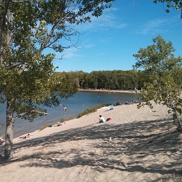 Photo: mathewingram, CC BY 2.0 (via Flickr)
Sandbanks Dunes Trail
~1h 18m drive
A moderate 0.5-mile out-and-back boardwalk trail in New York, perfect for a quick nature walk.
HIKE
Trans Canada Trail
~11 min drive
47.96-mile out-and-back trail in New York with 2,927 ft elevation gain.
HIKE
Rideau Trail Slide Lake Loop
~54 min drive
A 4.5-mile point-to-point route in Ontario, Canada.
HIKE
Trans Canada Trail
~19 min drive
35.74-mile out-and-back trail in New York with 1,113 ft elevation gain.
 Photo: Bobolink, CC BY 2.0 (via Flickr)
Trans Canada Trail
~54 min drive
3.8-mile out-and-back trail in New York with 168 ft elevation gain/loss.
HIKE
Doe Lake Trail
~48 min drive
A moderate 1.96-mile loop trail in New York perfect for intermediate hikers.
HIKE
Hastings Heritage Trail (Warning: Extreme Flooding Risk)
~51 min drive
10.62-mile out-and-back trail in New York with 693 ft elevation gain.
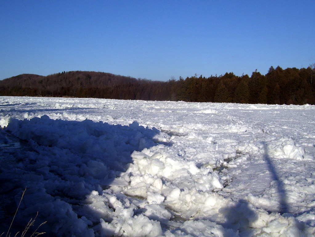 Photo: Bobolink, CC BY 2.0 (via Flickr)
Batawa Riverfront Trail
~1h 1m drive
1.44-mile out-and-back trail in New York with 108 ft of elevation gain
Map and trail data © OpenStreetMap contributors
