Purple Trail
 Photo: OblongLandConservancy, CC BY 2.0 (via Flickr)
- 0.8 mi
- one way
- 395 ft
- climb
- 979 ft
- high point
- Point to point
- route
- Apr–Oct
- best months
Is Purple Trail open right now?
Closure in the area
There's a closure order in Appalachian National Scenic Trail. It doesn't name Purple Trail, so check the source for the area it covers.
List of trail closures post-Hurricane Helene
Park closure covering Appalachian National Scenic Trail · NPS · Appalachian National Scenic Trail
Black Bears Frequenting the McAfee Knob Area in Virginia
Park alert covering Appalachian National Scenic Trail · NPS · Appalachian National Scenic Trail
As of · Source: NPS · Appalachian National Scenic Trail. Agencies don't list every closure — check before you go.
Purple Trail is an easy 0.83-mile point-to-point hike in New York, set within Pawling Nature Reserve and on the Appalachian National Scenic Trail corridor. The trail starts around 550 feet and rises to a high point of 979 feet, with a total elevation gain of 395 feet. The steepest stretch comes at about 0.54 miles, where the grade reaches 15 percent, though the climb is short and the whole trip can be done in about half an hour. Late spring and early fall are the most comfortable times to go. Typical averages from the Stormville weather station, about 10 miles away at a similar elevation, put May highs near 72°F and September highs near 74°F, with July the warmest month at around 83°F. Several other short trails sit close by. Orange Trail and Green Trail are each about 0.2 miles away, and Yellow Trail is about 0.4 miles off. For time on the water, Swamp River offers canoeing about 2 miles away.
Local outfitters
- Catskill Outfitters49 mi away
Not on Roamze yet. Their page has how to reach them.
Best time to go · Apr–Oct
Best time to visit Purple Trail
Best months: April–October. Best months have typical highs of 55–85 °F, lows of 30 °F or warmer (32 °F where the station doesn't record snow), at most one snowy day and no more than 12 wet days.
Jan
35° / 17°
12 wet
Feb
39° / 19°
10 wet
Mar
49° / 27°
13 wet
Apr
61° / 38°
12 wet
May
72° / 48°
12 wet
Jun
77° / 58°
11 wet
Jul
83° / 63°
11 wet
Aug
82° / 62°
10 wet
Sep
74° / 55°
10 wet
Oct
63° / 43°
10 wet
Nov
50° / 32°
10 wet
Dec
39° / 24°
12 wet
Typical high / low (°F) and days with rain or snow, 1991–2020. Measured at Stormville, NY, 10.5 mi away at 915 ft. This station doesn't record snowfall. Source: NOAA NCEI U.S. Climate Normals 1991–2020.
Keep exploring — more trails worth the drive
Photo: OblongLandConservancy, CC BY 2.0 (via Flickr)Yellow Trail
Next door
A short point-to-point trail in New York, ideal for a quick hike.
Photo: OblongLandConservancy, CC BY 2.0 (via Flickr)Red Trail
~1 min drive
A 2.22-mile point-to-point trail in New York for a quick outdoor adventure.
HIKE
Deer Pond Farm Trails
~9 min drive
A 12.76-mile point-to-point trail through New York farmland and woodlands.
HIKE
Appalachian National Scenic Trail
~17 min drive
70.60-mile point-to-point trail in New York with 7,386 ft of elevation gain
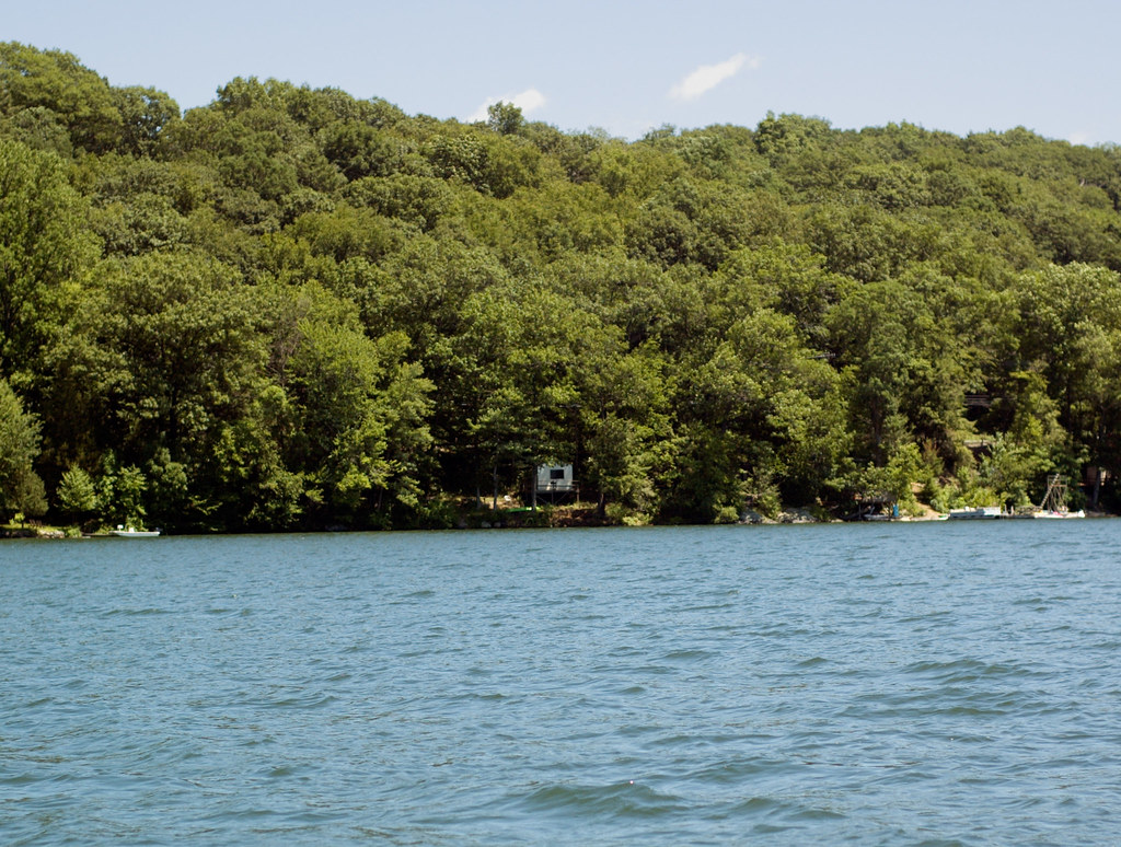 Photo: CarbonNYC [in SF!], CC BY 2.0 (via Flickr)
Pootatuck Forest Trail
~14 min drive
2.01-mile out-and-back hike in Connecticut with 917 ft of elevation gain.
 Photo: H. Morrow Long, CC BY-SA 3.0 (via Wikimedia Commons)
Nclc
~7 min drive
A short point-to-point Connecticut trail under 2 miles.
HIKE
Maybrook Trailway - Hiking - Putnam Trailway to Hopewell Junction
~9 min drive
14.64-mile point-to-point trail in New York with 540 ft gain and 979 ft loss.
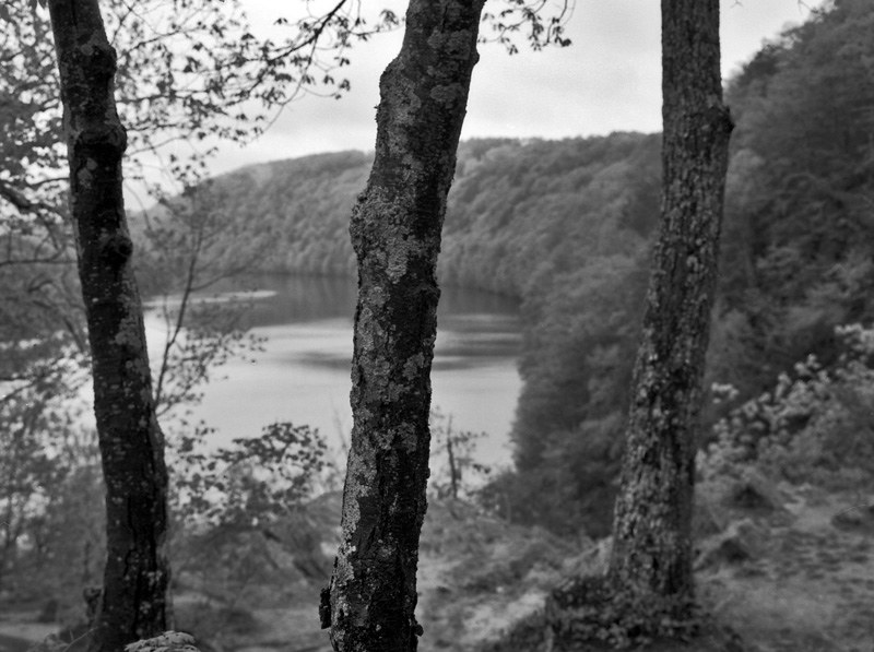 Photo: -= Bruce Berrien =-, CC BY 2.0 (via Flickr)
Lovers Leap Park Trail
~16 min drive
3.08-mile out-and-back trail in Connecticut with 982 ft gain.
 Photo: H. Morrow Long, CC BY-SA 3.0 (via Wikimedia Commons)
Silo Trail
~9 min drive
0.30-mile point-to-point trail in Connecticut with 195 ft gain.
Photo: -= Bruce Berrien =-, CC BY 2.0 (via Flickr)Proposed Trail
~17 min drive
2.42-mile out-and-back hike in Connecticut with 1,205 ft gain.

Map and trail data © OpenStreetMap contributors
