Proposed Trail
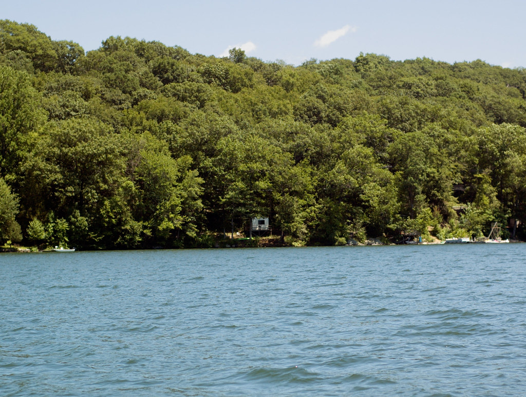
 Photo: -= Bruce Berrien =-, CC BY 2.0 (via Flickr)
- 2.4 mi
- round trip
- 1,506 ft
- climb
- 587 ft
- high point
- Out and back
- route
- Apr, Jun–Oct
- best months
Proposed Trail is a 2.4-mile hike in Connecticut, about 0.8 miles from the town of Lanesville. It is an out-and-back route that climbs to a high point of 587 feet, with a total elevation gain of 1,506 feet over the round trip. The steepest stretch comes at about 2.1 miles, where the grade reaches 52 percent. The trail is rated moderate. Bikes and horses are not allowed, so plan on walking the route. Late spring and early fall are the most comfortable times to go. Typical averages from a nearby weather station in Danbury show May highs around 72°F and September highs around 75°F, with September also seeing the fewest wet days of the year. Lovers Leap Park Trail lies just 0.3 miles away. The Housatonic Range Trail, Silo Trail and Pootatuck Forest Trail are all within about 5 miles.
- Lovers Leap Park TrailHikingPhoto: -= Bruce Berrien =-, CC BY 2.0 (via Flickr)0.3 mi
 Housatonic Range TrailHikingPhoto: H. Morrow Long, CC BY-SA 3.0 (via Wikimedia Commons)4.5 mi
- Silo TrailHikingPhoto: H. Morrow Long, CC BY-SA 3.0 (via Wikimedia Commons)4.7 mi
 Pootatuck Forest TrailHikingPhoto: CarbonNYC [in SF!], CC BY 2.0 (via Flickr)5.1 mi
 Pinney LoopHikingPhoto: Pedro Xing, CC0 (via Wikimedia Commons)6 mi
- Clamshell LoopHikingPhoto: Pedro Xing, CC0 (via Wikimedia Commons)6 mi
 NclcHikingPhoto: H. Morrow Long, CC BY-SA 3.0 (via Wikimedia Commons)6.2 mi
- Brinsmade LoopHikingPhoto: Pedro Xing, CC0 (via Wikimedia Commons)6.4 mi
Source: Roamze catalog (indexable pages within 10 miles, PostGIS distance)
- Lovers Leap Park TrailHiking · Next doorPhoto: -= Bruce Berrien =-, CC BY 2.0 (via Flickr)
- Housatonic Range TrailHiking · ~8 min drivePhoto: H. Morrow Long, CC BY-SA 3.0 (via Wikimedia Commons)
- Deer Pond Farm TrailsHiking · ~11 min drive
- Pootatuck Forest TrailHiking · ~9 min drivePhoto: CarbonNYC [in SF!], CC BY 2.0 (via Flickr)
- Silo TrailHiking · ~8 min drivePhoto: H. Morrow Long, CC BY-SA 3.0 (via Wikimedia Commons)
- Al's TrailHiking · ~18 min drive
 Yellow TrailHiking · ~16 min drivePhoto: OblongLandConservancy, CC BY 2.0 (via Flickr)
- Pinney LoopHiking · ~10 min drivePhoto: Pedro Xing, CC0 (via Wikimedia Commons)
- Lillinoah TrailHiking · ~12 min drive
- Clamshell LoopHiking · ~10 min drivePhoto: Pedro Xing, CC0 (via Wikimedia Commons)
Best time to visit Proposed Trail
Best months: April and June–October. Best months have typical highs of 55–85 °F, lows of 30 °F or warmer (32 °F where the station doesn't record snow), at most one snowy day and no more than 12 wet days.
Jan
36° / 21°
12 wet · 8 snow
Feb
39° / 22°
11 wet · 6 snow
Mar
48° / 29°
13 wet · 5 snow
Apr
61° / 39°
12 wet · 1 snow
May
72° / 49°
13 wet
Jun
80° / 59°
12 wet
Jul
85° / 64°
11 wet
Aug
82° / 63°
10 wet
Sep
75° / 55°
9 wet
Oct
62° / 43°
10 wet
Nov
50° / 34°
10 wet · 2 snow
Dec
40° / 26°
12 wet · 5 snow
Typical high / low (°F) and days with rain or snow, 1991–2020. Measured at Danbury, CT, 9.4 mi away at 405 ft. Source: NOAA NCEI U.S. Climate Normals 1991–2020.
