Orange Trail
- 1.5 mi
- one way
- 516 ft
- climb
- 942 ft
- high point
- Point to point
- route
- Apr–Oct
- best months
Orange Trail is a 1.5-mile hike in Pawling Nature Reserve in New York, managed by a non-governmental organization. The route is a point-to-point trail that gains about 516 feet in elevation, with the high point at 942 feet and the low at 466 feet. It is rated easy and takes about an hour to complete. Late spring and early fall are the most comfortable times to go. Typical averages from a nearby weather station in Stormville run to highs around 72°F in May and 74°F in September, with July the warmest month at about 83°F. The trail sits in a network of short routes. The Purple Trail is about 0.2 miles away and the Green Trail about 0.3 miles. The Yellow Trail and Red Trail are each about 0.6 miles off. For time on the water, the Swamp River is about 2 miles away.
Local outfitters
- Catskill Outfitters49 mi away
Not on Roamze yet. Their page has how to reach them.
 Purple TrailHikingPhoto: OblongLandConservancy, CC BY 2.0 (via Flickr)0.2 mi
- Green TrailHiking0.3 mi
- Yellow TrailHikingPhoto: OblongLandConservancy, CC BY 2.0 (via Flickr)0.6 mi
- Red TrailHikingPhoto: OblongLandConservancy, CC BY 2.0 (via Flickr)0.6 mi
- Swamp RiverCanoeing2 mi
- Murrow Park PawlingRock climbing4.3 mi
- East Branch Croton RiverCanoeing6.5 mi
 Fishkill CreekCanoeingPhoto: Daniel Case, CC BY-SA 3.0 (via Wikimedia Commons)8.6 mi
Source: Roamze catalog (indexable pages within 10 miles, PostGIS distance)
- Purple TrailHiking · Next doorPhoto: OblongLandConservancy, CC BY 2.0 (via Flickr)
- Yellow TrailHiking · Next doorPhoto: OblongLandConservancy, CC BY 2.0 (via Flickr)
- Maybrook Trailway - Hiking - Putnam Trailway to Hopewell JunctionHiking · ~10 min drive
- Appalachian National Scenic TrailHiking · ~17 min drive
- Red TrailHiking · ~1 min drivePhoto: OblongLandConservancy, CC BY 2.0 (via Flickr)
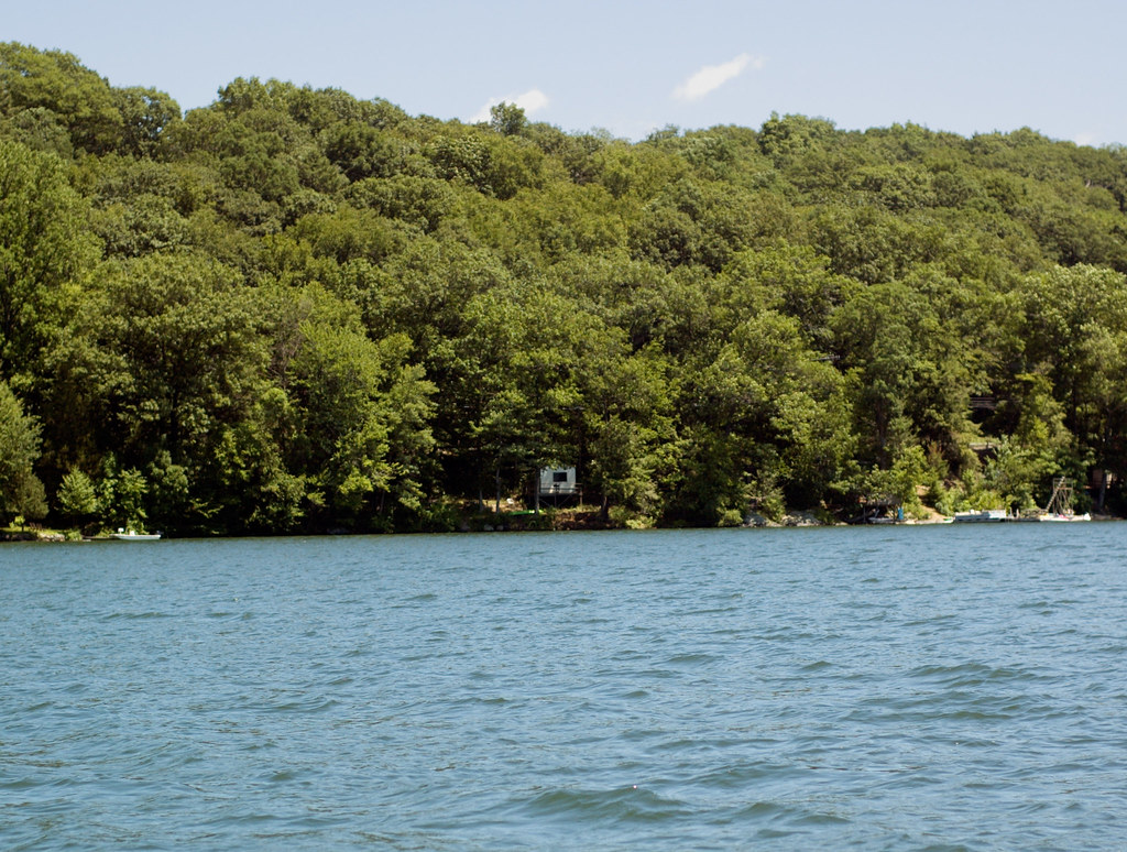 Pootatuck Forest TrailHiking · ~14 min drivePhoto: CarbonNYC [in SF!], CC BY 2.0 (via Flickr)
- Deer Pond Farm TrailsHiking · ~10 min drive
 NclcHiking · ~7 min drivePhoto: H. Morrow Long, CC BY-SA 3.0 (via Wikimedia Commons)
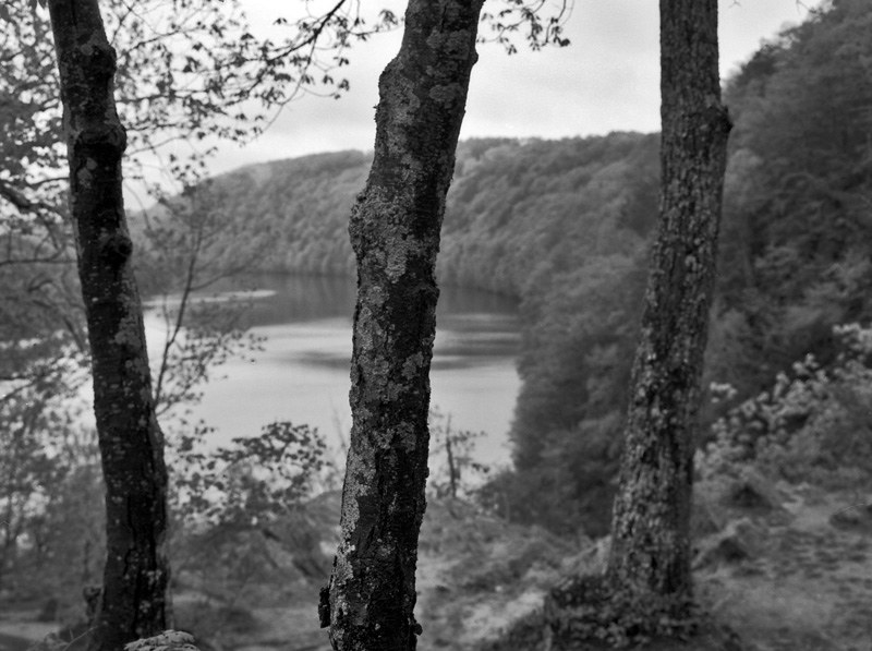 Lovers Leap Park TrailHiking · ~17 min drivePhoto: -= Bruce Berrien =-, CC BY 2.0 (via Flickr)
 Housatonic Range TrailHiking · ~9 min drivePhoto: H. Morrow Long, CC BY-SA 3.0 (via Wikimedia Commons)
Best time to visit Orange Trail
Best months: April–October. Best months have typical highs of 55–85 °F, lows of 30 °F or warmer (32 °F where the station doesn't record snow), at most one snowy day and no more than 12 wet days.
Jan
35° / 17°
12 wet
Feb
39° / 19°
10 wet
Mar
49° / 27°
13 wet
Apr
61° / 38°
12 wet
May
72° / 48°
12 wet
Jun
77° / 58°
11 wet
Jul
83° / 63°
11 wet
Aug
82° / 62°
10 wet
Sep
74° / 55°
10 wet
Oct
63° / 43°
10 wet
Nov
50° / 32°
10 wet
Dec
39° / 24°
12 wet
Typical high / low (°F) and days with rain or snow, 1991–2020. Measured at Stormville, NY, 10.6 mi away at 915 ft. This station doesn't record snowfall. Source: NOAA NCEI U.S. Climate Normals 1991–2020.
Map and trail data © OpenStreetMap contributors
