Beaver Pond Campsite
Campground
Campground · 7.5 mi from the trail
Long Path - Section 4 is a 6.5-mile moderate hike in New York, about a mile from the town of Centenary. It is a point-to-point route, and the climb is one way, with a total gain of 1,099 feet and a total loss of 1,655 feet over the course of the trip. The steepest stretch comes at about 1.4 miles in, where the grade reaches 21%. The most comfortable months for a visit are typically late spring and early fall. Typical averages from a nearby weather station run from highs around 70°F in May to about 74°F in September, with July the warmest at about 83°F. Bikes and horses are not allowed on this section. The Long Path and the Haverstraw River Trail both lie within a third of a mile, and the Rockland Lake Jogging and Bike Path is about 2.6 miles away. Paddlers can reach the Croton River, roughly 4.3 miles off.
Beaver Pond Campsite
Campground
 If it rainsDaniel Case, CC BY-SA 3.0 · Wikimedia Commons
American Revolutionary War fort near West Point on the Hudson River
Places © OpenStreetMap contributors · Photos: Daniel Case, CC BY-SA 3.0 (commons)
More in Mount KiscoNot on Roamze yet. Their page has how to reach them.
Best months: April–October. Best months have typical highs of 55–85 °F, lows of 30 °F or warmer (32 °F where the station doesn't record snow), at most one snowy day and no more than 12 wet days.
Jan
35° / 17°
11 wet
Feb
39° / 18°
9 wet
Mar
47° / 25°
10 wet
Apr
60° / 36°
11 wet
May
70° / 46°
12 wet
Jun
78° / 55°
11 wet
Jul
83° / 61°
10 wet
Aug
81° / 59°
10 wet
Sep
74° / 52°
9 wet
Oct
63° / 41°
10 wet
Nov
51° / 31°
9 wet
Dec
41° / 23°
11 wet
Typical high / low (°F) and days with rain or snow, 1991–2020. Measured at Yorktown Hts 1w, NY, 9.9 mi away at 670 ft. This station doesn't record snowfall. Source: NOAA NCEI U.S. Climate Normals 1991–2020.
 Photo: New York Public Library, No restrictions (via Wikimedia Commons)
Haverstraw River Trail
Next door
3.40-mile point-to-point trail in New York with 3,442 ft elevation gain.
 Photo: Mary P Madigan, CC BY 2.0 (via Flickr)
Rockland Lake Jogging and Bike Path
~5 min drive
4.38-mile out-and-back jog/bike path around Rockland Lake in New York
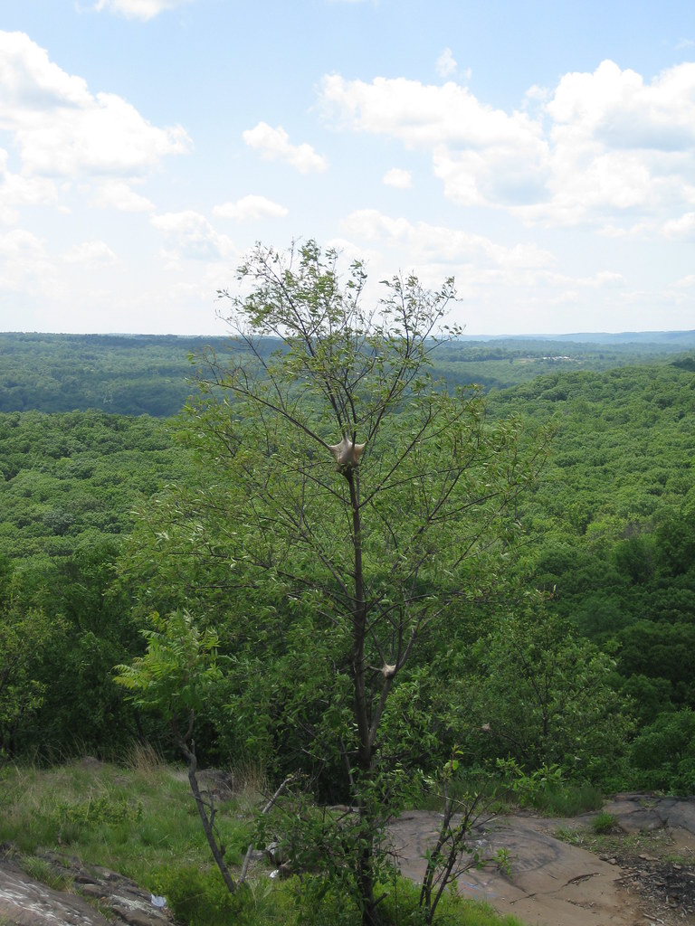 Photo: daveclausen, CC BY 2.0 (via Flickr)
Long Path
~6 min drive
Epic 350-mile point-to-point trail from NYC to the Catskills.
 Photo: Magicpiano, CC BY-SA 4.0 (via Wikimedia Commons)
Croton Gorge Trail
~8 min drive
0.59-mile point-to-point trail in New York with 414 ft gain
 Photo: daveclausen, CC BY 2.0 (via Flickr)
Nyack River Trail
~7 min drive
2.64-mile out-and-back hike along the Nyack River in New York.
Photo: Magicpiano, CC BY-SA 4.0 (via Wikimedia Commons)Highland Trail
~8 min drive
Scenic point-to-point highland hike with elevated views.
 Photo: Original uploader was CharlesHBennett at en.wikipedia, CC BY 3.0 (via Wikimedia Commons)
Fire Tower Trail
~11 min drive
4.32-mile out-and-back hike in New York with 1,328 ft of elevation gain
 Photo: mlcastle, CC BY-SA 2.0 (via Flickr)
Catamount Hill Loop
~9 min drive
0.83-mile loop in New York with 174 ft gain.
HIKE
Croton Trails System
~7 min drive
Point-to-point trail through Westchester forests and waterways near Croton.
Photo: mlcastle, CC BY-SA 2.0 (via Flickr)Cliffdale Loop
~9 min drive
1.69-mile loop trail in New York with 413 ft gain and 322 ft loss.
About 6.5 mi.
About 1,099 ft of climbing round trip.
It is rated moderate.
About 3 hours round trip.
Daily highs and lows, wind and the chance of precipitation at the summit and route start for the next 7 days, from the Open-Meteo model.
Map and trail data © OpenStreetMap contributors
