Lake to Lake Route
- 1.5 mi
- round trip
- 219 ft
- climb
- 1,035 ft
- high point
- Out and back
- route
The Lake to Lake Route is a 2.92-mile out-and-back trail in New York, about 1.46 miles in length from its start to the high point. It is an accessible route that links into the broader Nokiidaa Trail system, and it makes a straightforward choice for a shorter outing in the region's lake-centered landscape. The route climbs to a high point of 1,035 feet, starting from about 897 feet and peaking near the middle of the trail. The climb is front-loaded, with the steepest stretch around mile 1, an 8% grade. The total gain is 219 feet, and the same amount is lost on the way back. The trip takes about an hour, so plan for a walk that fits easily into a day of exploring the surrounding trails. Gravel Cut Trail is about 3.5 miles away, and Saigeon Trail is about 5.4 miles off. Mountain bikers can head to Easy Trail, about 5.9 miles away, or Nokiidaa Trail, about 6.5 miles away.
- Gravel Cut TrailHiking3.5 mi
- Saigeon TrailHiking5.4 mi
- Easy TrailMountain biking5.9 mi
- Tom Taylor TrailHiking6.3 mi
- Nokiidaa TrailMountain biking6.5 mi
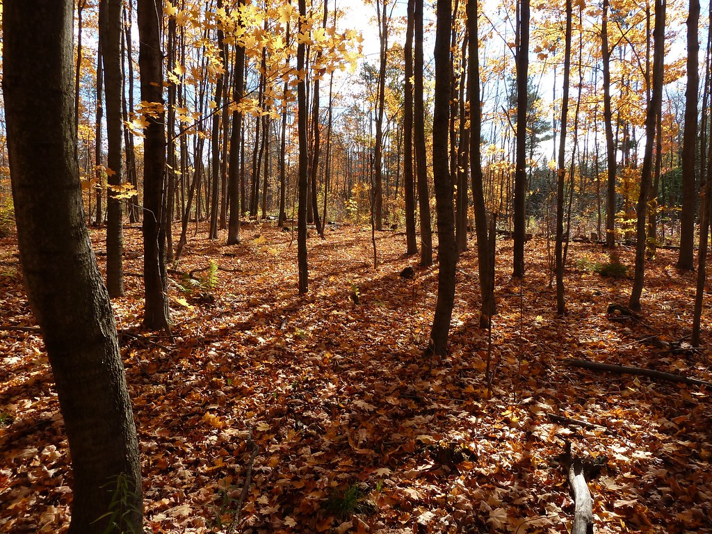 Unsanctioned TrailHikingPhoto: MichaelTutton, CC BY 2.0 (via Flickr)8.2 mi
 Accessible TrailHikingPhoto: MichaelTutton, CC BY 2.0 (via Flickr)9.1 mi
- Richvale GreenwayHiking9.3 mi
Source: Roamze catalog (indexable pages within 10 miles, PostGIS distance)
- Unsanctioned TrailHiking · ~14 min drivePhoto: MichaelTutton, CC BY 2.0 (via Flickr)
- Rouge Valley TrailHiking · ~20 min drive
- Humber Valley Heritage Trail - Bolton ChapterHiking · ~28 min drive
- Goat PathHiking · ~34 min drive
- Accessible TrailHiking · ~16 min drivePhoto: MichaelTutton, CC BY 2.0 (via Flickr)
- Seaton Hiking TrailHiking · ~25 min drive
- Woo WuHiking · ~34 min drive
 Claireville North Multi-Use TrailHiking · ~34 min drivePhoto: Ken Mist from Brampton, Canada, CC BY 2.0 (via Wikimedia Commons)
- Sutton-Zephyr Rail TrailHiking · ~26 min drive
- Sugar Shack ShuffleHiking · ~34 min drive
Also worth it near here
- Seneca Outdoor Centre/King Day CampCamping · ~7 min drive
 Heise HillSummit · ~9 min drivePhoto: JFVoll, CC BY-SA 4.0 (via Wikimedia Commons)
- Victoria FallsWaterfall · ~19 min drive
 Newtonbrook Creek PathwayMountain biking · ~25 min drivePhoto: Sikander Iqbal, CC BY-SA 4.0 (via Wikimedia Commons)
- Rouge RiverCanoeing · ~34 min drive
Map and trail data © OpenStreetMap contributors
