Seaton Hiking Trail
- 7.6 mi
- one way
- 634 ft
- climb
- 626 ft
- high point
- Point to point
- route
- Jun–Sep
- best months
The Seaton Hiking Trail is a 7.6-mile point-to-point route in New York, with a moderate climb of about 630 feet from a low point of 337 feet to a high of 626 feet. The trail is open to bikes, and the nearest town is Sunset Beach, about 44 miles away. Summer and early fall are the most comfortable times to go. Typical averages from a nearby weather station in Youngstown run to highs around 83°F in July and 74°F in September, and the station sits well below the trail, so temperatures up high run cooler. The trip takes about three hours. The Monarch Trail lies about 2.4 miles away, and the Rouge Valley Trail is about 5.4 miles off. The Waterfront Trail and Forest Therapy Trail are both within about 8 miles.
Best time to go · Jun–Sep
Best time to visit Seaton Hiking Trail
Best months: June–September. Best months have typical highs of 55–85 °F, lows of 30 °F or warmer (32 °F where the station doesn't record snow), at most one snowy day and no more than 12 wet days.
Jan
34° / 19°
18 wet
Feb
35° / 19°
15 wet
Mar
43° / 25°
13 wet
Apr
55° / 35°
14 wet
May
68° / 46°
14 wet
Jun
77° / 57°
12 wet
Jul
83° / 62°
11 wet
Aug
81° / 61°
12 wet
Sep
74° / 54°
12 wet
Oct
61° / 44°
17 wet
Nov
50° / 34°
15 wet
Dec
39° / 26°
16 wet
Typical high / low (°F) and days with rain or snow, 1991–2020. Measured at Youngstown 2 E, NY, 45.8 mi away at 295 ft. This station doesn't record snowfall. Source: NOAA NCEI U.S. Climate Normals 1991–2020.
Keep exploring — more trails worth the drive
 Photo: Sikander Iqbal, CC BY-SA 4.0 (via Wikimedia Commons)
Springbank Trail
~16 min drive
0.92-mile out-and-back trail in New York with 248 ft elevation gain.
 Photo: Ryan from Toronto, Canada, CC BY 2.0 (via Wikimedia Commons)
Grapes of Wrath
~31 min drive
A moderate out-and-back trail in New York spanning 0.47 miles, perfect for a brisk hike.
 Photo: JordanEightySeven, CC BY-SA 2.0 (via Flickr)
East Point Park Trail
~17 min drive
2.42-mile out-and-back trail in New York with 266 ft of elevation gain
HIKE
Rouge Valley Trail
~9 min drive
A 3.93-mile out-and-back trail in New York connecting to Bob Hunter Memorial Park, Austin Drive Park, and Milne Conservation Park.
 Photo: Camera Eye Photography, CC BY 2.0 (via Flickr)
Springbank Trail
~17 min drive
0.68-mile out-and-back hike in New York with 124 ft elevation gain.
Photo: Camera Eye Photography, CC BY 2.0 (via Flickr)Devil's Den Trail
~17 min drive
2.62-mile out-and-back hike in New York with 342 ft elevation gain
Photo: Sikander Iqbal, CC BY-SA 4.0 (via Wikimedia Commons)Railway Trail
~17 min drive
A brief 0.74-mile out-and-back trail in New York for a quick hiking outing.
Photo: Sikander Iqbal, CC BY-SA 4.0 (via Wikimedia Commons)Railway Trail
~17 min drive
A brief out-and-back trail in New York covering 0.33 miles, ideal for a quick hike.
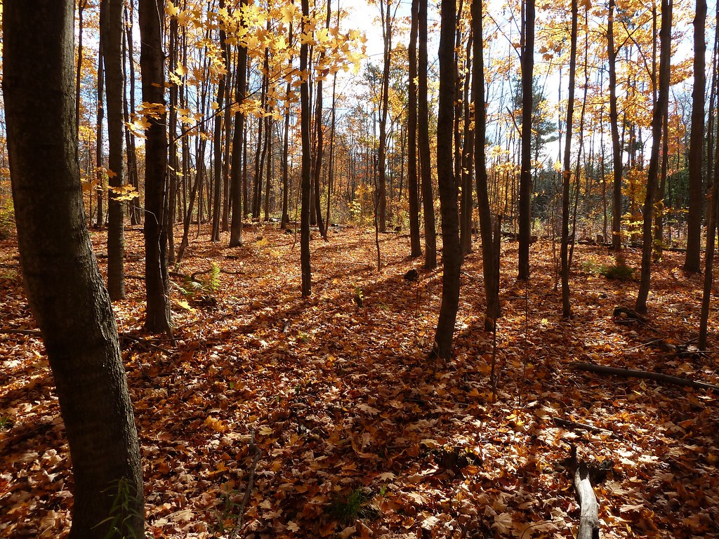 Photo: MichaelTutton, CC BY 2.0 (via Flickr)
Unsanctioned Trail
~22 min drive
1.42-mile out-and-back trail in New York with 185 ft elevation gain
 Photo: MichaelTutton, CC BY 2.0 (via Flickr)
Accessible Trail
~22 min drive
An easy, paved out-and-back trail perfect for accessible hiking in New York.


Map and trail data © OpenStreetMap contributors
