Sutton-Zephyr Rail Trail
- 7.9 mi
- one way
- 152 ft
- climb
- Point to point
- route
- Moderate
- difficulty
The Sutton-Zephyr Rail Trail is a 7.9-mile point-to-point route in New York, with a moderate rating and a total elevation gain of 152 feet. The trail runs between a low point of 739 feet and a high of 787 feet, and its climb profile is flat, with the steepest stretch at about 5.3 miles, where the grade reaches 3 percent. Bikes are allowed on the trail, which makes it a practical choice for both hikers and riders. The trip takes about 2.5 hours, and the route is open year-round. Nearby, the Accessible Trail lies about 8.5 miles away, and the Nokiidaa Trail, a mountain biking route, is about 10 miles off.
 Accessible TrailHikingPhoto: MichaelTutton, CC BY 2.0 (via Flickr)8.5 mi
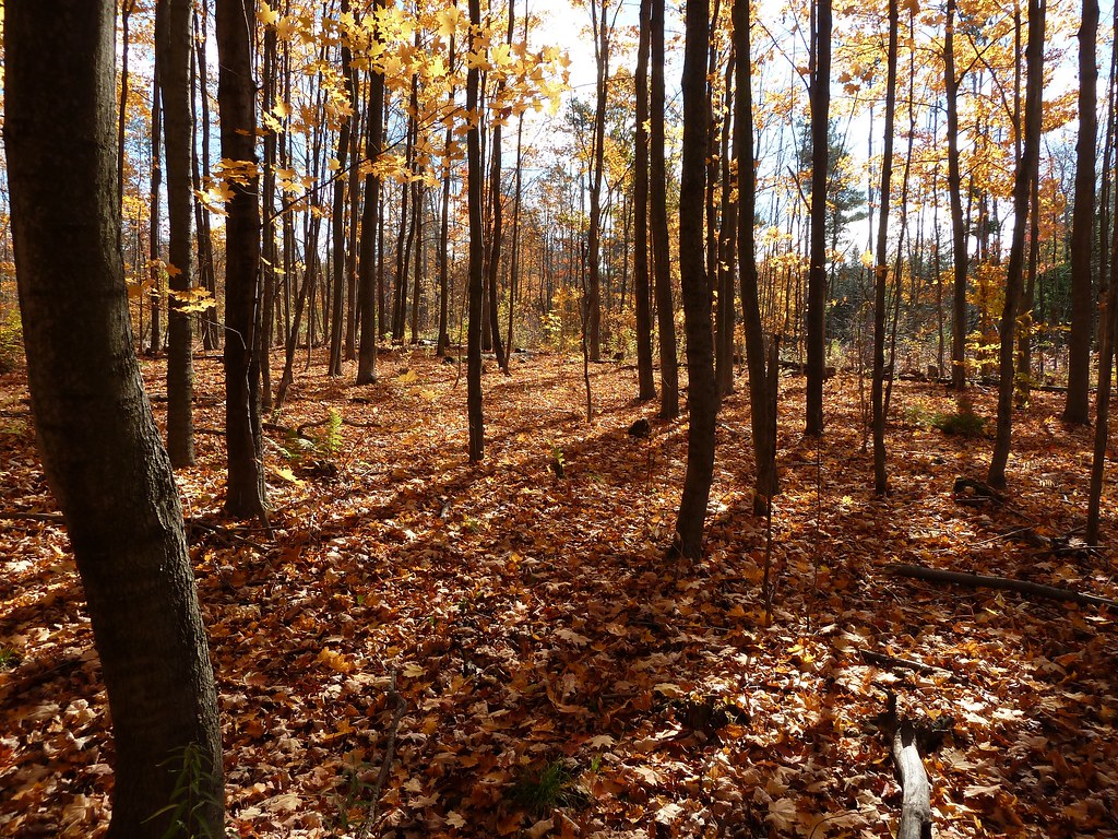 Unsanctioned TrailHikingPhoto: MichaelTutton, CC BY 2.0 (via Flickr)8.9 mi
- Nokiidaa TrailMountain biking10 mi
Source: Roamze catalog (indexable pages within 10 miles, PostGIS distance)
- Accessible TrailHiking · ~14 min drivePhoto: MichaelTutton, CC BY 2.0 (via Flickr)
- Thornton-Cookstown Trans Canada Trail (Hiking)Hiking · ~34 min drive
- Barrie-Collingwood Rail TrailHiking · ~48 min drive
- Unsanctioned TrailHiking · ~15 min drivePhoto: MichaelTutton, CC BY 2.0 (via Flickr)
- Seaton Hiking TrailHiking · ~36 min drive
 Springbank TrailHiking · ~41 min drivePhoto: Sikander Iqbal, CC BY-SA 4.0 (via Wikimedia Commons)
- Rouge Valley TrailHiking · ~39 min drive
 Springbank TrailHiking · ~41 min drivePhoto: Camera Eye Photography, CC BY 2.0 (via Flickr)
- Uplands TrailHiking · ~48 min drive
- Devil's Den TrailHiking · ~41 min drivePhoto: Camera Eye Photography, CC BY 2.0 (via Flickr)
Also worth it near here
 Sibbald Point Provincial Park Boat LaunchBoat launch · ~17 min drivePhoto: OwenX, CC BY-SA 4.0 (via Wikimedia Commons)
 Heise HillSummit · ~31 min drivePhoto: JFVoll, CC BY-SA 4.0 (via Wikimedia Commons)
- Ontario South Bouldering and RockRock climbing · ~32 min drive
- Lake Simcoe CircumnavigationCanoeing · ~36 min drive
 Johnson's Beach ParkBeach · ~37 min drivePhoto: Ryan McGilchrist from Canada, CC BY-SA 2.0 (via Wikimedia Commons)
Map and trail data © OpenStreetMap contributors
