Tom Taylor Trail
- 1.2 mi
- round trip
- 124 ft
- climb
- Out and back
- route
- Easy
- difficulty
Tom Taylor Trail is a 2.42-mile out-and-back route in New York that links to the Nokiidaa Trail system in Aurora and East Gwillimbury. The trail is a mix of paved and gravel surfaces, making it a practical choice for a wide range of hikers. The route is rated easy, with a total elevation gain of 124 feet and a high point of 795 feet. The climb is flat, and the steepest stretch comes at about 1.1 miles in, with a grade of about 3 percent. The trail is short enough to fit into a single outing. Plan on about an hour for the round trip. The Nokiidaa Trail, a mountain biking route, lies just 0.3 miles away and offers a way to extend the day.
- Nokiidaa TrailMountain biking0.3 mi
- Lake to Lake RouteHiking6.3 mi
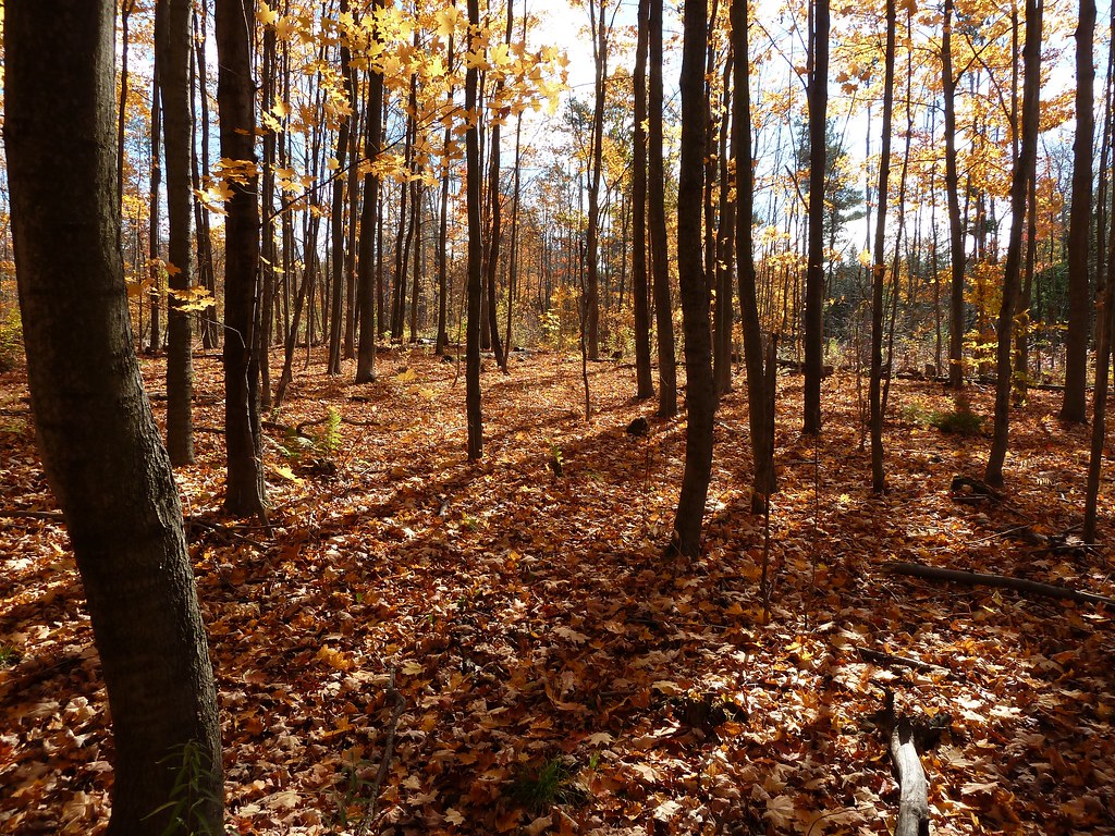 Unsanctioned TrailHikingPhoto: MichaelTutton, CC BY 2.0 (via Flickr)7 mi
- Kingfisher Loop TrailHiking7.3 mi
- Sugar Maple Loop TrailHiking7.3 mi
- Chickadee Loop TrailHiking7.5 mi
- Evergreen TrailHiking7.5 mi
 Accessible TrailHikingPhoto: MichaelTutton, CC BY 2.0 (via Flickr)7.7 mi
Source: Roamze catalog (indexable pages within 10 miles, PostGIS distance)
- Unsanctioned TrailHiking · ~12 min drivePhoto: MichaelTutton, CC BY 2.0 (via Flickr)
- Sutton-Zephyr Rail TrailHiking · ~18 min drive
- Humber Valley Heritage Trail - Bolton ChapterHiking · ~34 min drive
- Goat PathHiking · ~37 min drive
- Accessible TrailHiking · ~13 min drivePhoto: MichaelTutton, CC BY 2.0 (via Flickr)
- Thornton-Cookstown Trans Canada Trail (Hiking)Hiking · ~25 min drive
- Woo WuHiking · ~37 min drive
 Claireville North Multi-Use TrailHiking · ~42 min drivePhoto: Ken Mist from Brampton, Canada, CC BY 2.0 (via Wikimedia Commons)
- Rouge Valley TrailHiking · ~29 min drive
- Sugar Shack ShuffleHiking · ~37 min drive
Also worth it near here
 Heise HillSummit · ~19 min drivePhoto: JFVoll, CC BY-SA 4.0 (via Wikimedia Commons)
- Victoria FallsWaterfall · ~29 min drive
 Sibbald Point Provincial Park Boat LaunchBoat launch · ~33 min drivePhoto: OwenX, CC BY-SA 4.0 (via Wikimedia Commons)
 Newtonbrook Creek PathwayMountain biking · ~36 min drivePhoto: Sikander Iqbal, CC BY-SA 4.0 (via Wikimedia Commons)
 Earl Rowe Provincial Park - West Side CampgroundCamping · ~40 min drivePhoto: Jason Zhang, CC BY-SA 3.0 (via Wikimedia Commons)
Map and trail data © OpenStreetMap contributors
