Joppenbergh Mountain Loop
- 1.1 mi
- loop
- 626 ft
- climb
- 479 ft
- high point
- Loop
- route
- May–Jun, Aug–Oct
- best months
Joppenbergh Mountain Loop is a 1.09-mile hike on Joppenbergh Mountain in New York, a small loop that starts and ends at a low point of about 76 feet and climbs to a high of 479 feet. The route is rated easy and is managed by a non-governmental organization, so plan on a short outing with a steady, manageable climb. The trail gains 626 feet in total, and the steepest stretch comes around the 0.75-mile mark, where the grade reaches about 27%. That makes the route a compact challenge rather than a long, arduous one, and the estimated time is about half an hour. For comfortable weather, aim for late spring or early fall. Typical averages from a nearby weather station show May highs around 73°F and September highs around 77°F, while July runs hotter at about 86°F. Several other hikes sit within a few miles, including Clearwater Road at 3.3 miles, the Light Blue Trail at 3.9 miles and the Bonticou Ascent Trail at 4 miles. Climbers can find The Gunks about 8 miles away.
Local outfitters
- Catskill Outfitters19 mi away
Not on Roamze yet. Their page has how to reach them.
- Clearwater RoadHiking3.3 mi
- Light Blue TrailHiking3.9 mi
 Farm RoadHikingPhoto: New York Public Library, No restrictions (via Wikimedia Commons)4 mi
- Bonticou Ascent TrailHiking4 mi
 Sky TopRock climbingPhoto: Seth Tisue, CC BY-SA 2.0 (via Flickr)6.9 mi
- Sleepy HollowRock climbing8 mi
- l. Sleepy HollowRock climbing8.1 mi
- The GunksRock climbing8.1 mi
Source: Roamze catalog (indexable pages within 10 miles, PostGIS distance)
- Farm RoadHiking · ~7 min drivePhoto: New York Public Library, No restrictions (via Wikimedia Commons)
 Undivided Lot TrailHiking · ~8 min drivePhoto: ossguy, CC BY-SA 2.0 (via Flickr)
- Hudson Valley Greenway Trail (New Paltz to South Kingston)Hiking · ~12 min drive
- Bonticou RoadHiking · ~8 min drivePhoto: New York Public Library, No restrictions (via Wikimedia Commons)
 Hudson Valley Greenway Trail (Kingston)Hiking · ~9 min drivePhoto: New York Public Library, No restrictions (via Wikimedia Commons)
- Bonticou PathHiking · ~8 min drivePhoto: New York Public Library, No restrictions (via Wikimedia Commons)
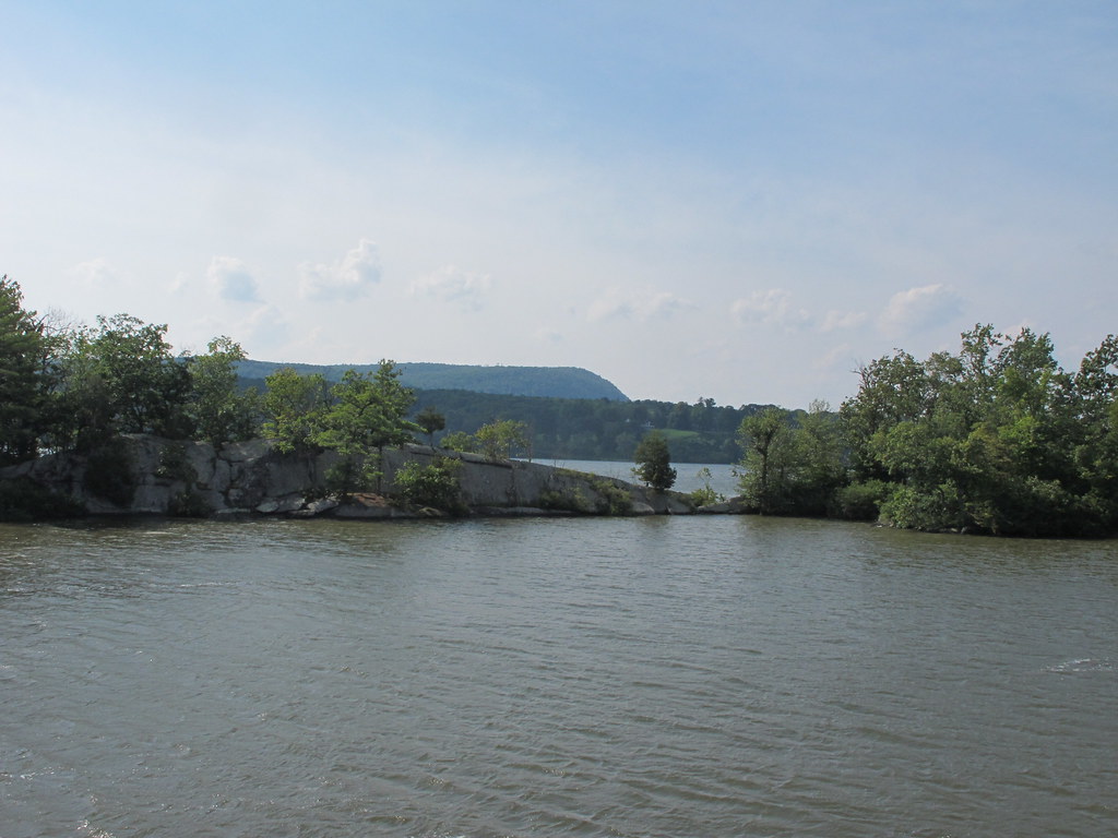 Yellow TrailHiking · ~11 min drivePhoto: kenner116, CC BY 2.0 (via Flickr)
 Woodside TrailHiking · ~9 min drivePhoto: ossguy, CC BY-SA 2.0 (via Flickr)
- Orange TrailHiking · ~7 min drive
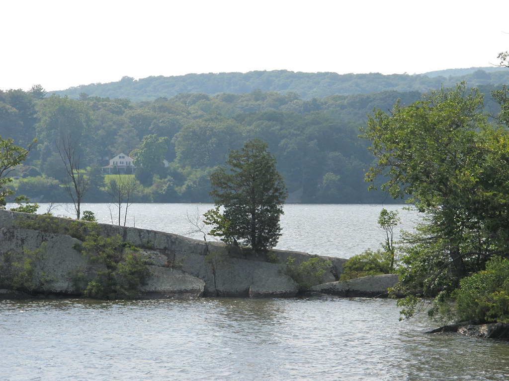 Red TrailHiking · ~11 min drivePhoto: kenner116, CC BY 2.0 (via Flickr)
Best time to visit Joppenbergh Mountain Loop
Best months: May–June and August–October. Best months have typical highs of 55–85 °F, lows of 30 °F or warmer (32 °F where the station doesn't record snow), at most one snowy day and no more than 12 wet days.
Jan
37° / 11°
11 wet
Feb
40° / 12°
8 wet
Mar
49° / 20°
11 wet
Apr
62° / 31°
11 wet
May
73° / 43°
12 wet
Jun
81° / 51°
11 wet
Jul
86° / 56°
10 wet
Aug
84° / 55°
10 wet
Sep
77° / 47°
10 wet
Oct
65° / 35°
11 wet
Nov
53° / 26°
10 wet
Dec
42° / 17°
11 wet
Typical high / low (°F) and days with rain or snow, 1991–2020. Measured at Rhinebeck 4se, NY, 11.3 mi away at 301 ft. This station doesn't record snowfall. Source: NOAA NCEI U.S. Climate Normals 1991–2020.
Map and trail data © OpenStreetMap contributors
