Holcomb Pond Loop
 Photo: andyarthur, CC BY 2.0 (via Flickr)
- 0.6 mi
- loop
- 23 ft
- climb
- 1,352 ft
- high point
- Loop
- route
- May–Oct
- best months
Holcomb Pond Loop is a short, easy loop hike of about 0.6 miles in Zoar Valley Multiple Use Area in New York, managed by the State Department of Conservation. The route rises about 23 feet from a low point of 1,318 feet to a high of 1,352 feet, with the steepest stretch at about 0.3 miles in, where the grade reaches 11 percent. Summer is the most comfortable time to go. Typical averages from a nearby weather station in Perrysburg show July highs around 79°F with lows near 59°F, while winter brings frequent snow days and highs in the low 30s. Holcomb Pond Trail starts just 0.1 mile away, and Yellow Trail is about 2.6 miles off. Paddlers can head to Clear Creek, roughly 5.2 miles away.
Best time to go · May–Oct
Best time to visit Holcomb Pond Loop
Best months: May–October. Best months have typical highs of 55–85 °F, lows of 30 °F or warmer (32 °F where the station doesn't record snow), at most one snowy day and no more than 12 wet days.
Jan
31° / 16°
14 wet · 14 snow
Feb
34° / 16°
10 wet · 12 snow
Mar
43° / 23°
10 wet · 7 snow
Apr
55° / 32°
10 wet · 2 snow
May
68° / 45°
9 wet
Jun
76° / 55°
9 wet
Jul
79° / 59°
9 wet
Aug
78° / 58°
9 wet
Sep
71° / 51°
9 wet
Oct
59° / 40°
12 wet · 1 snow
Nov
47° / 31°
11 wet · 5 snow
Dec
36° / 22°
14 wet · 11 snow
Typical high / low (°F) and days with rain or snow, 1991–2020. Measured at Perrysburg, NY, 7.2 mi away at 1,210 ft. Source: NOAA NCEI U.S. Climate Normals 1991–2020.
Keep exploring — more trails worth the drive
 Photo: andyarthur, CC BY 2.0 (via Flickr)
Yellow Trail
~4 min drive
2.04-mile out-and-back hike in New York with 706 ft gain/loss
 Photo: Russ Nelson, CC BY-SA 2.0 (via Flickr)
Pat McGee Trail
~23 min drive
10.42-mile out-and-back hike in New York with 1,605 ft gain/loss
 Photo: javajoe6, CC BY-SA 3.0 (via Wikimedia Commons)
Finger Lakes Trail
~41 min drive
53.10-mile point-to-point trail in New York with 6,772 ft of elevation gain
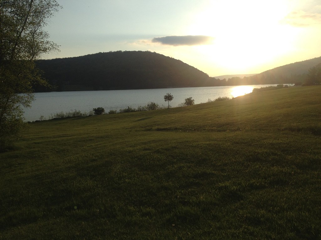 Photo: seabamirum, CC BY 2.0 (via Flickr)
Beehunter Trail
~44 min drive
5.12-mile point-to-point hike in New York with 1,072 ft gain.
 Photo: Russ Nelson, CC BY-SA 2.0 (via Flickr)
Pat McGee Trail
~27 min drive
3.06-mile out-and-back trail in New York with 257 ft elevation gain
HIKE
Erie Cattaraugus Rail Trail
~17 min drive
Flat 23.96-mile point-to-point rail trail through rural western New York.
 Photo: javajoe6, CC BY-SA 3.0 (via Wikimedia Commons)
Conservation Trail (FLT)
~47 min drive
5.12-mile out-and-back trail in New York with 1,050 ft elevation gain
 Photo: daveynin, CC BY 2.0 (via Flickr)
Ward Hill Trail
~31 min drive
Ward Hill Trail is a 1.12-mile point-to-point trail in New York.
HIKE
East Side Overland Trail
~32 min drive
Remote 15.35-mile point-to-point backcountry trail in New York.
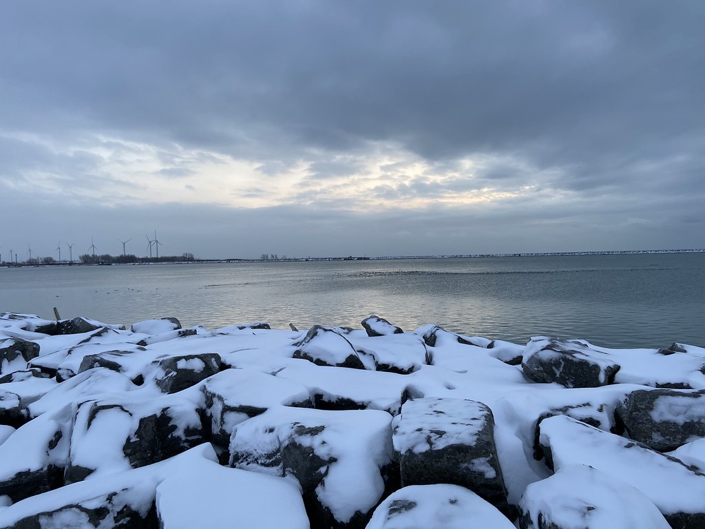 Photo: btwashburn, CC BY 2.0 (via Flickr)
Erie Canalway Trail (Buffalo Harbor State Park to Hertel Avenue)
~47 min drive
7.98-mile point-to-point trail from Buffalo Harbor State Park to Hertel Avenue
Map and trail data © OpenStreetMap contributors
