Former Long Path Route (Red)
- 3.7 mi
- round trip
- 2,298 ft
- climb
- 3,421 ft
- high point
- Out and back
- route
- Jun–Oct
- best months
The Former Long Path Route (Red) is a 7.5-mile out-and-back hike in Ashland Pinnacle State Forest in New York, managed by the State Department of Conservation. The route rises from a low point of 2,558 feet to a high of 3,421 feet, with a total elevation gain of 2,298 feet over the course of the trip. The steepest stretch comes at about 3 miles in, where the grade reaches 23 percent. The hike is rated moderate, and the round trip takes about 3.5 hours. The most comfortable months for a visit are typically July and August, when typical averages from a nearby weather station run from the mid-70s to the upper 70s for highs, though that station sits well below the route, so temperatures on the high ground run cooler. Huntersfield Access Trail lies about 3 miles away, and Levitate Trail is about 7 miles off. For anglers, Catskill Creek and Schoharie Creek are both within about 7 miles.
Local outfitters
- Catskill Outfitters21 mi away
Not on Roamze yet. Their page has how to reach them.
Best time to go · Jun–Oct
Best time to visit Former Long Path Route (Red)
Best months: June–October. Best months have typical highs of 55–85 °F, lows of 30 °F or warmer (32 °F where the station doesn't record snow), at most one snowy day and no more than 12 wet days.
Jan
31° / 11°
12 wet
Feb
33° / 12°
11 wet
Mar
40° / 19°
12 wet
Apr
53° / 30°
12 wet
May
65° / 40°
13 wet
Jun
73° / 49°
12 wet
Jul
77° / 54°
12 wet
Aug
76° / 52°
12 wet
Sep
69° / 45°
10 wet
Oct
57° / 35°
12 wet
Nov
46° / 27°
11 wet
Dec
35° / 18°
13 wet
Typical high / low (°F) and days with rain or snow, 1991–2020. Measured at E Jewett, NY, 11.9 mi away at 1,991 ft. The station sits about 1,400 ft lower than this place, so expect it a little cooler here. This station doesn't record snowfall. Source: NOAA NCEI U.S. Climate Normals 1991–2020.
Keep exploring — more trails worth the drive
 Photo: andyarthur, CC BY 2.0 (via Flickr)
Huntersfield Access Trail
~5 min drive
0.40-mile out-and-back trail in New York with 42 ft gain.
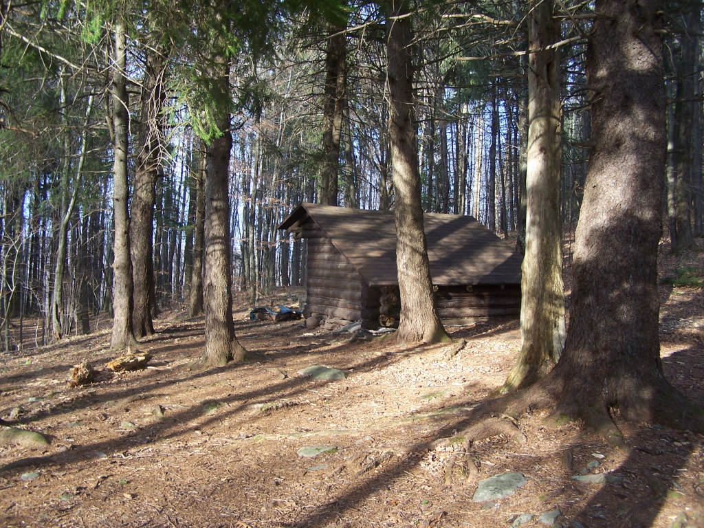 Photo: andyarthur, CC BY 2.0 (via Flickr)
Mid Mountain Trail
~13 min drive
2.92-mile out-and-back hike in New York with 1,484 ft elevation gain
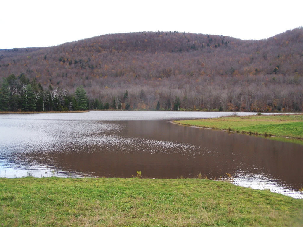 Photo: andyarthur, CC BY 2.0 (via Flickr)
Colgate Lake Trail
~22 min drive
8.42-mile out-and-back hike at Colgate Lake in New York with 1,199 ft elevation gain
 Photo: andyarthur, CC BY 2.0 (via Flickr)
Huntersfield Access Trail
~6 min drive
1.25-mile out-and-back trail in New York with 598 ft elevation gain.
 Photo: Dougtone, CC BY-SA 2.0 (via Wikimedia Commons)
Yellow Trail
~17 min drive
1.43-mile point-to-point hike in New York with 530 ft gain and 689 ft loss.
 Photo: andyarthur, CC BY 2.0 (via Flickr)
Outer Loop North Trail
~12 min drive
2.04-mile out-and-back trail in New York with 398 ft elevation gain
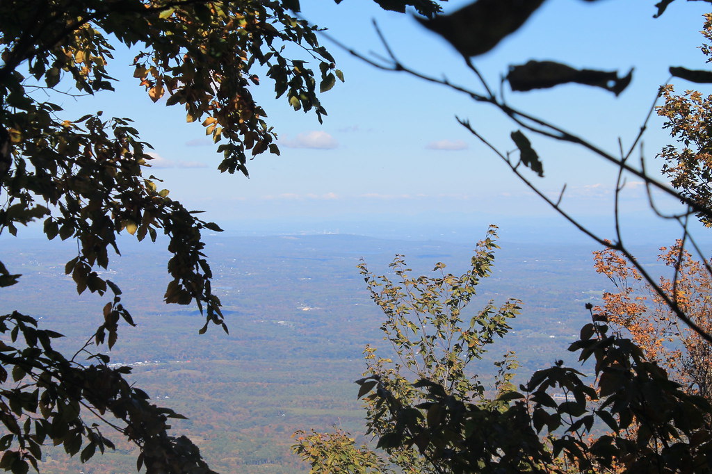 Photo: andyarthur, CC BY 2.0 (via Flickr)
Black Dome Range Trail
~18 min drive
6.87-mile point-to-point hike in New York with 2,520 ft gain
Photo: andyarthur, CC BY 2.0 (via Flickr)West Gauntlet Trail
~13 min drive
2.08-mile out-and-back trail in New York with 643 ft elevation gain
 Photo: Andy Arthur, CC BY 2.0 (via Wikimedia Commons)
Blackhead Trail
~21 min drive
0.66-mile point-to-point trail in New York with 154 ft elevation gain.
Photo: andyarthur, CC BY 2.0 (via Flickr)Outer Loop South Trail
~13 min drive
2.86-mile out-and-back trail in New York with 585 ft elevation gain

Route details
- Distance
- 3.7 mi round trip
- Climbing
- About 2,298 ft
- Summit
- 3,423 ft
- Difficulty
- Moderate
- Time
- About 2 hours
Other routes up Huntersfield Mountain
Questions about this route
How long is the Former Long Path Route (Red) on Huntersfield Mountain?
About 3.7 mi round trip.
How much elevation gain is on the Former Long Path Route (Red)?
About 2,298 ft of climbing round trip.
How hard is the Former Long Path Route (Red)?
It is rated moderate.
How long does the Former Long Path Route (Red) take?
About 2 hours round trip.
How many routes go up Huntersfield Mountain?
2: Huntersfield Access Trail and Former Long Path Route (Red).
Conditions and forecast on Huntersfield Mountain
Daily highs and lows, wind and the chance of precipitation at the summit and route start for the next 7 days, from the Open-Meteo model.
Map and trail data © OpenStreetMap contributors
