Capmpsite Lean to #11
Campground
Campground · 4.0 mi from the trail
Blue Trail is a short, easy out-and-back hike in New York, about 1.1 miles from the town of East Woods. The route is 0.72 miles long, with a total elevation gain of 75 feet, and it reaches a high point of 689 feet. The climb is steady, with the steepest stretch at about 0.3 miles in, and the trail is rated easy. Late spring and early fall are the most comfortable times to go. Typical averages from a nearby weather station in Stamford, Connecticut, show May highs around 72°F and September highs around 76°F, with July the warmest month at about 85°F. That station sits roughly 500 feet lower than the trail, so temperatures on the trail run a little cooler. The hike takes about half an hour. Green Trail is 0.9 miles away and Old Church Lane Preserve Trail is 1.1 miles away. Ward Pound Ridge Reservation, a climbing area, is about 4.1 miles off, and the Norwalk River, a paddling route, is about 4.5 miles away.
Capmpsite Lean to #11
Campground
 If it rainsⱮ, CC BY-SA 4.0 · Wikimedia Commons
Places © OpenStreetMap contributors · Photos: Ɱ, CC BY-SA 4.0 (commons)
More in Mount KiscoNot on Roamze yet. Their page has how to reach them.
Best months: April–October. Best months have typical highs of 55–85 °F, lows of 30 °F or warmer (32 °F where the station doesn't record snow), at most one snowy day and no more than 12 wet days.
Jan
38° / 22°
11 wet
Feb
41° / 23°
9 wet
Mar
49° / 30°
10 wet
Apr
62° / 40°
12 wet
May
72° / 50°
12 wet
Jun
80° / 59°
11 wet
Jul
85° / 64°
10 wet
Aug
83° / 63°
9 wet
Sep
76° / 56°
9 wet
Oct
64° / 45°
10 wet
Nov
53° / 35°
10 wet
Dec
43° / 27°
11 wet
Typical high / low (°F) and days with rain or snow, 1991–2020. Measured at Stamford 5 N, CT, 7 mi away at 190 ft. This station doesn't record snowfall. Source: NOAA NCEI U.S. Climate Normals 1991–2020.
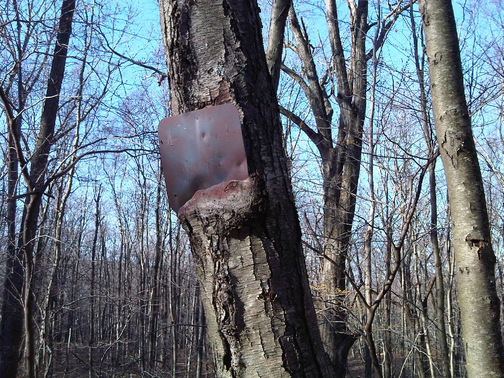 Photo: kschlot1, CC BY 2.0 (via Flickr)
Super Sketchy Blue Moon Trail
~7 min drive
0.67-mile out-and-back trail in New York with 133 ft elevation gain.
HIKE
White Trail
~4 min drive
A short point-to-point trail under 1 mile in New York.
Photo: kschlot1, CC BY 2.0 (via Flickr)Red Trail
~7 min drive
A 1.73-mile point-to-point trail in New York.
HIKE
Yellow Trail
~5 min drive
Yellow Trail is a 0.80-mile point-to-point trail in New York with 105 ft of elevation gain.
 Photo: Chrisbkes, CC BY 2.0 (via Flickr)
Green Trail
~7 min drive
Easy 3-mile loop trail in New York with accessible hiking.
HIKE
Blue Trail
~6 min drive
3.77-mile loop in New York with 783 ft gain and 1,401 ft loss.
Photo: Chrisbkes, CC BY 2.0 (via Flickr)Leatherman's Loop
~7 min drive
1.22-mile loop in New York with 366 ft of elevation gain.
HIKE
White Trail
~6 min drive
0.43-mile out-and-back trail in New York with 39 ft gain.
Photo: kschlot1, CC BY 2.0 (via Flickr)Fox Hill Trail
~8 min drive
A 2.72-mile point-to-point trail with scenic views and varied terrain.
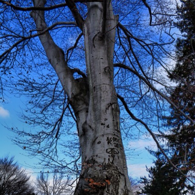 Photo: Mílton Jung, CC BY 2.0 (via Flickr)
Casey Lane Trail
~9 min drive
0.35-mile point-to-point trail in Connecticut with 44 ft gain.
Also worth it near here
About 0.4 mi round trip.
About 75 ft of climbing round trip.
It is rated easy.
About 0 hours round trip.
Daily highs and lows, wind and the chance of precipitation at the summit and route start for the next 7 days, from the Open-Meteo model.
Map and trail data © OpenStreetMap contributors
