New York · Hiking · Near Mount Kisco
Estherwood Trail (Blue)
 Photo: Bryan Pocius, CC BY 2.0 (via Flickr)
- 0.7 mi
- round trip
- 327 ft
- climb
- 455 ft
- high point
- Out and back
- route
- Apr–Jun, Aug–Oct
- best months
Estherwood Trail (Blue) is an easy out-and-back hike in New York, about 0.6 miles from the village of Chauncey. The route is short and gentle, covering roughly 1.3 miles with a total elevation gain of 327 feet. The highest point on the trail is 455 feet, and the climb is spread out so that it never feels steep, making it a simple addition to a day spent exploring the surrounding trails. Late spring and early fall tend to be the most comfortable times to go. Typical averages from a nearby weather station at Dobbs Ferry-Ardsley show May highs around 73°F and September highs around 77°F. That station sits a few hundred feet lower than the trail, so temperatures up here run slightly cooler. The trail makes an easy pairing with other paths in the area. Broad Trail is just 0.2 miles away and Algonquin Trail about 0.4 miles off. The Old Croton Aqueduct Trail, a mountain biking route, lies about 0.6 miles away. V.E. Macy Park, a climbing area, is roughly 2.6 miles from the trail.
Around this trail
Add any of these when you start a tripSleep close Eat after  If it rainsJim.henderson, CC0 · Wikimedia Commons
Places © OpenStreetMap contributors · Photos: Jim.henderson, CC0 (commons)
More in Mount KiscoLocal outfitters
- Pier 13 Hoboken19 mi away
Not on Roamze yet. Their page has how to reach them.
Best time to go · Apr–Jun, Aug–Oct
Best time to visit Estherwood Trail (Blue)
Best months: April–June and August–October. Best months have typical highs of 55–85 °F, lows of 30 °F or warmer (32 °F where the station doesn't record snow), at most one snowy day and no more than 12 wet days.
Jan
40° / 23°
11 wet
Feb
43° / 25°
9 wet
Mar
51° / 31°
11 wet
Apr
63° / 40°
12 wet
May
73° / 50°
12 wet
Jun
81° / 59°
11 wet
Jul
86° / 64°
10 wet
Aug
84° / 63°
10 wet
Sep
77° / 56°
9 wet
Oct
65° / 45°
9 wet
Nov
54° / 36°
10 wet
Dec
44° / 29°
11 wet
Typical high / low (°F) and days with rain or snow, 1991–2020. Measured at Dobbs Ferry-Ardsley, NY, 1.8 mi away at 200 ft. This station doesn't record snowfall. Source: NOAA NCEI U.S. Climate Normals 1991–2020.
Keep exploring — more trails worth the drive
Photo: Bryan Pocius, CC BY 2.0 (via Flickr)Broad Trail
Next door
0.71-mile loop with 94 ft gain and 181 ft loss in New York.
 Photo: clembore, CC BY-SA 2.0 (via Flickr)
White Trail
~3 min drive
0.64-mile point-to-point trail in New York with 114 ft gain.
 Photo: PunkToad, CC BY 2.0 (via Flickr)
Shore Trail
~4 min drive
Scenic 10-mile waterfront point-to-point hike with easy walking and water views.
 Photo: Ira Gersh, Public Domain Mark (via Flickr)
Algonquin Trail
Next door
0.85-mile loop in New York with 278 ft elevation gain
Photo: clembore, CC BY-SA 2.0 (via Flickr)Yellow Trail
~3 min drive
0.33-mile point-to-point trail in New York with 76 ft elevation gain.
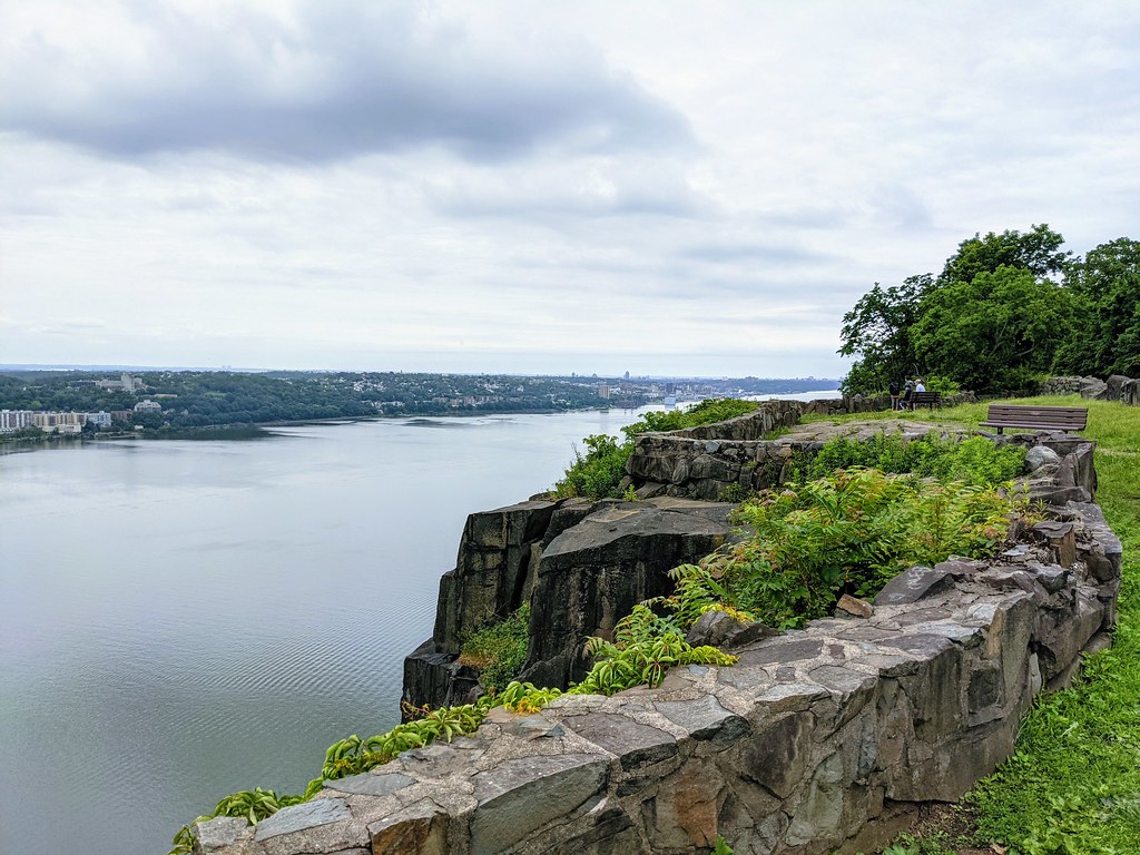 Photo: Tainanian, CC BY 2.0 (via Flickr)
Red Circle
~5 min drive
3.57-mile out-and-back trail in New Jersey with 663 ft gain
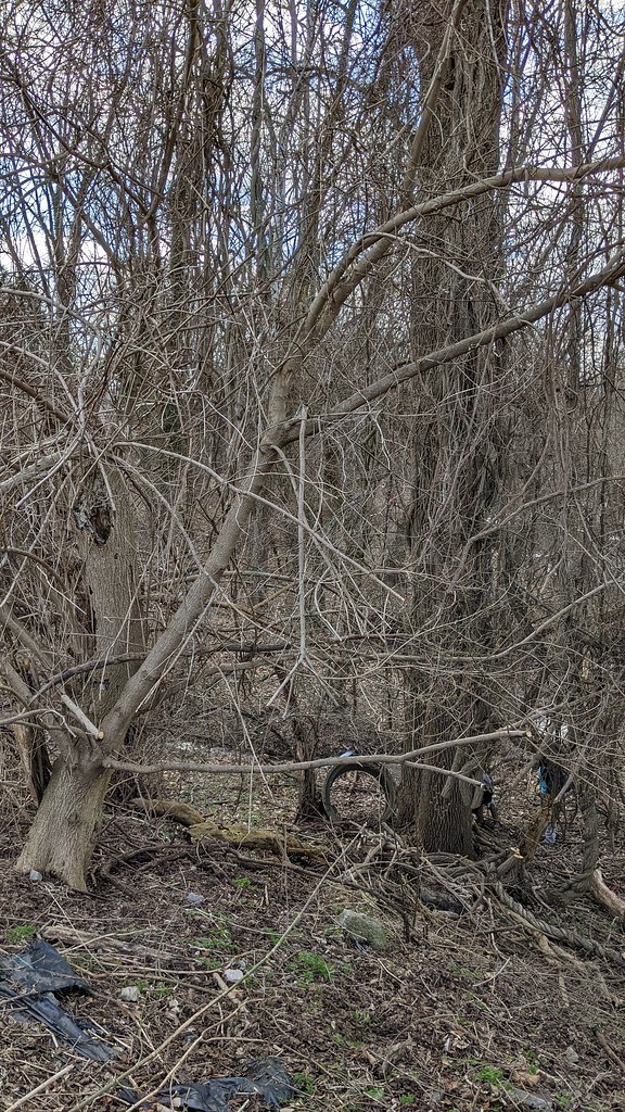 Photo: Ira Gersh, Public Domain Mark (via Flickr)
North Brothers Loop
~2 min drive
1.35-mile loop in New York with 354 ft gain and 356 ft loss
 Photo: Michael Cory, CC BY 2.0 (via Flickr)
Yellow Trail
~4 min drive
0.47-mile out-and-back trail in New York with 246 ft elevation gain.
Photo: Ira Gersh, Public Domain Mark (via Flickr)Sprain Slick Rock Trail
~3 min drive
1.06-mile out-and-back trail in New York with 191 ft elevation gain.
Photo: Michael Cory, CC BY 2.0 (via Flickr)Ravine Trail
~3 min drive
0.30-mile point-to-point trail in New York with 129 ft gain
Route details
- Distance
- 0.7 mi round trip
- Climbing
- About 327 ft
- Summit
- 459 ft
- Difficulty
- Easy
- Time
- About 0.5 hours
Questions about this route
How long is the Estherwood Trail (Blue) on Villard Hill?
About 0.7 mi round trip.
How much elevation gain is on the Estherwood Trail (Blue)?
About 327 ft of climbing round trip.
How hard is the Estherwood Trail (Blue)?
It is rated easy.
How long does the Estherwood Trail (Blue) take?
About 0.5 hours round trip.
Conditions and forecast on Villard Hill
Daily highs and lows, wind and the chance of precipitation at the summit and route start for the next 7 days, from the Open-Meteo model.
Map and trail data © OpenStreetMap contributors
