

Turquoise Trail Campground
Hiking business nearby (~43 mi away) — hasn't claimed their Roamze page yet
Free — you'll pick up right here.
Watch this trail
Sign up to watch it — saving subscribes you to gate, closure and report changes.
New Mexico
3.8 mi
Distance
296 ft
Gain
We won't guess. Here is exactly what we do and don't know.
What we do know
Inside Bandelier National Monument
2 managing-area boundaries mapped — agency alerts for them feed this page automatically.
Boundary data
What's missing
No access route mapped
We don't yet know which road reaches this trailhead, so we can't tell you if it's gated.
Nobody's filed a report here yet — be the first.
Why you'll love it
Tierra Media Trail
AI-suggested draft · review before you go
No permit or access details on file for this trail — check with the local land manager before you go.
Tierra Media Trail is an accessible 3.84-mile loop offering a gentle introduction to New Mexico's high desert landscape. With modest elevation gain of 296 feet, this trail winds through piñon-juniper woodland typical of the region's mid-elevation terrain. The route provides excellent opportunities to experience authentic New Mexico ecosystems without requiring significant technical skill or endurance.
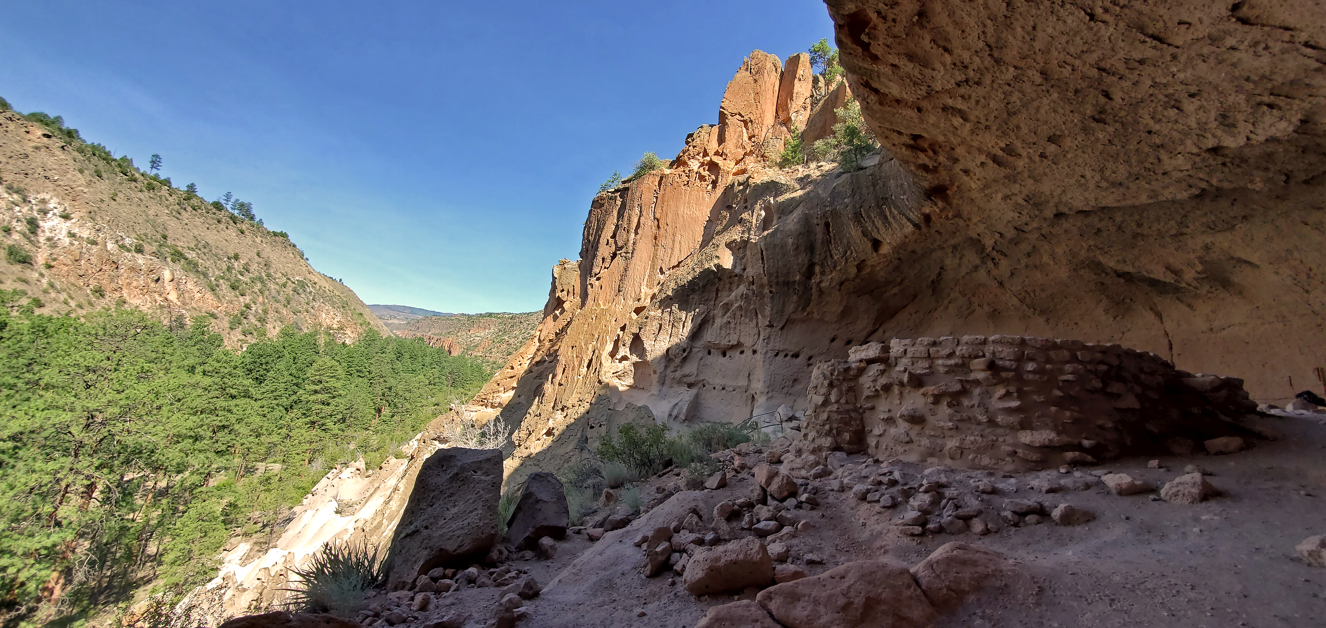
Alcove House Pueblo Loop Trail Stop 22
~4 min drive
Many find climbing the 140 feet of ladders and stone stairs at Alcove House to be one of the highlights of their visit. Do you think you would have felt differently if you had to climb into this housing area multiple times every day, carrying food, water, and small children? W…
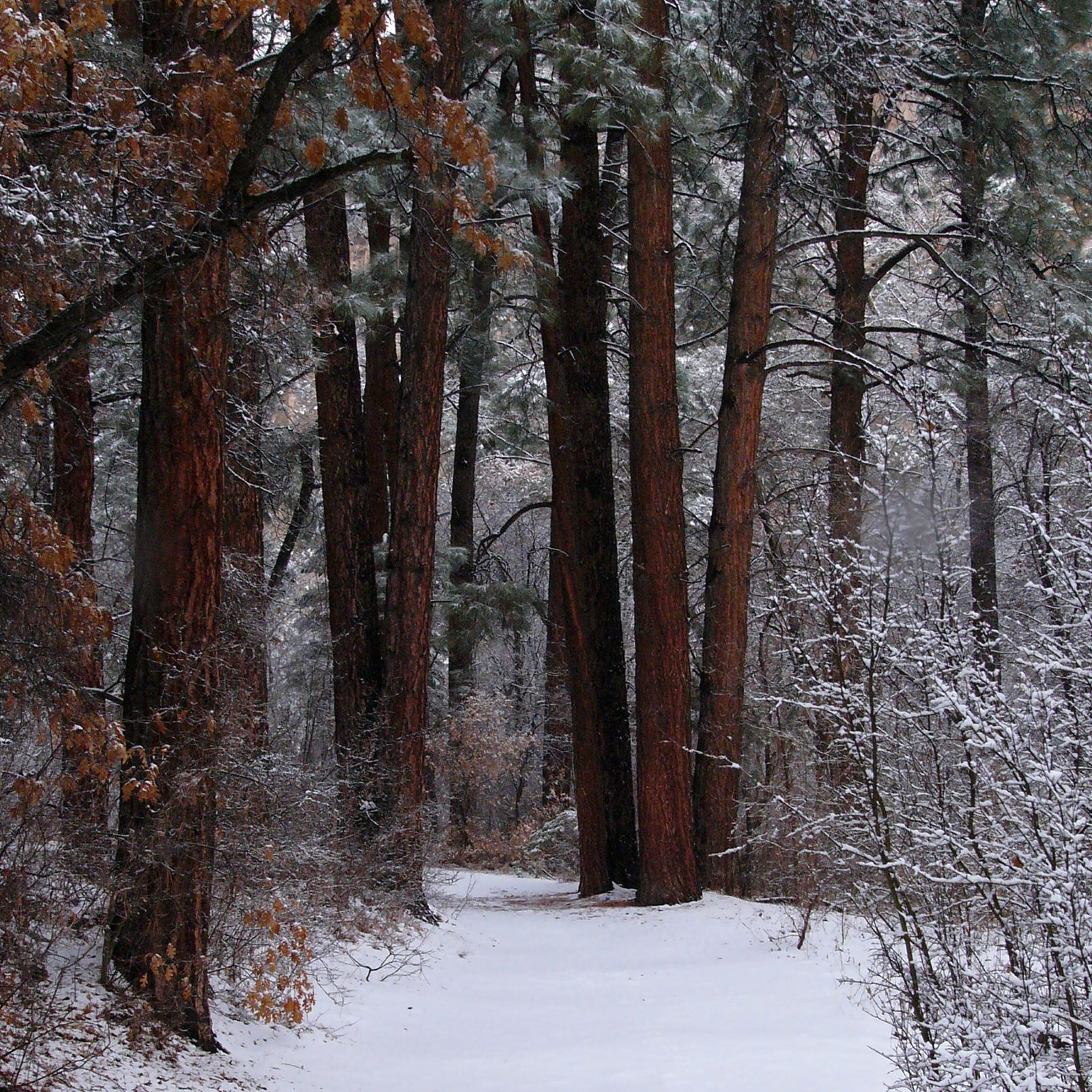
Falls Trail Tour - Stop 6
~4 min drive
<p>Frijoles Creek begins in springs on the rim of the Valles Caldera, some 4,000 feet above this spot. Melting snow and summer rain adds to the flow. The creek used to flow year-round in this area. However, after major flash floods in 2011 and 2013, it often runs dry at this l…
Falls Trail Tour - Stop 2
~4 min drive
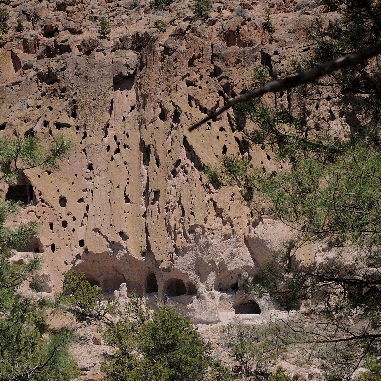
Compacted by their own weight over time, the ash flows became a soft rock known as tuff. The tuff is light in color, very porous, and has a sandy texture. In some areas, lightweight pumice is a major component of the tuff. Look for Swiss cheese-like patterns in the surfaces of…
Petroglyphs Pueblo Loop Trail Stop 21
~4 min drive
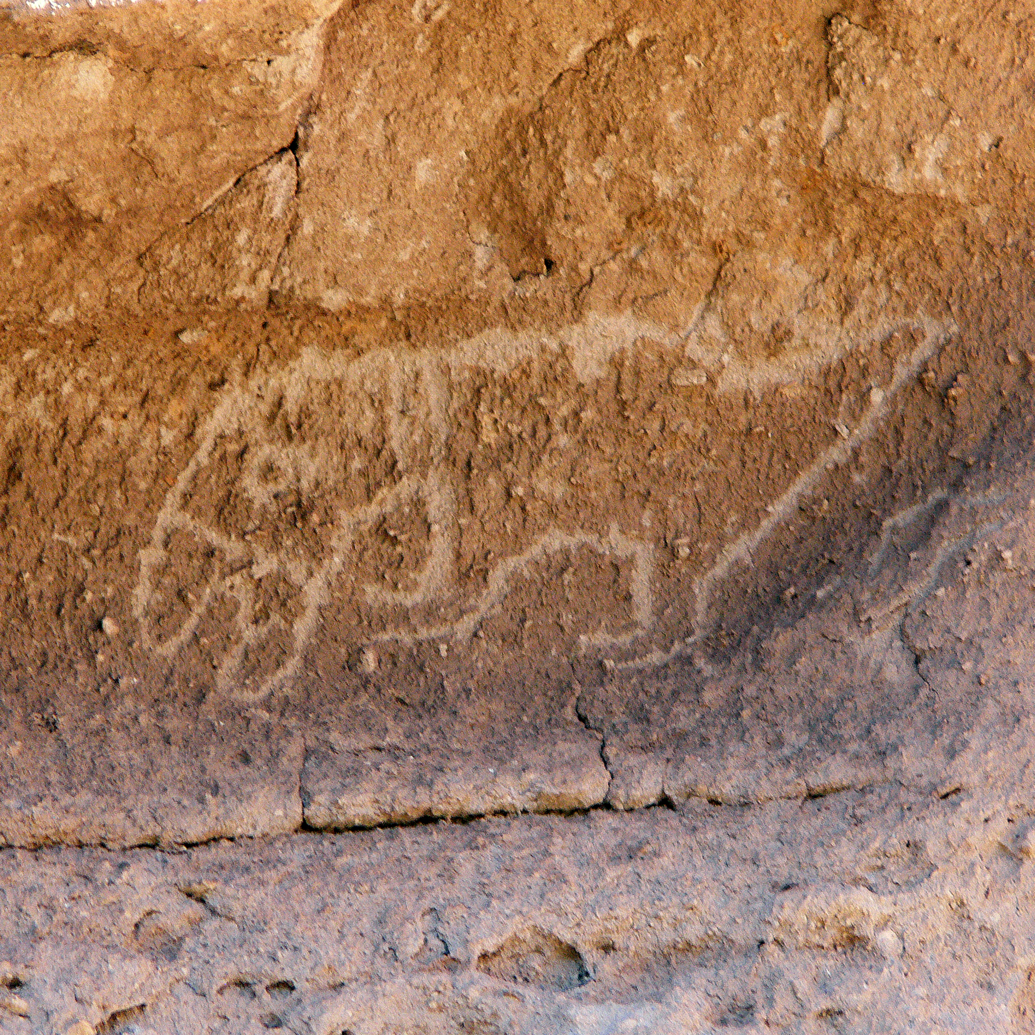
Petroglyphs (carved drawings) are far more common than pictographs (painted drawings) at Bandelier. Do you see the carving of a macaw under the overhang? How about the one of an elk to the left of the macaw?<br /> <br /> The people of Frijoles Canyon lived, worked, laughed, an…
Falls Trail Tour - Stop 5
~4 min drive
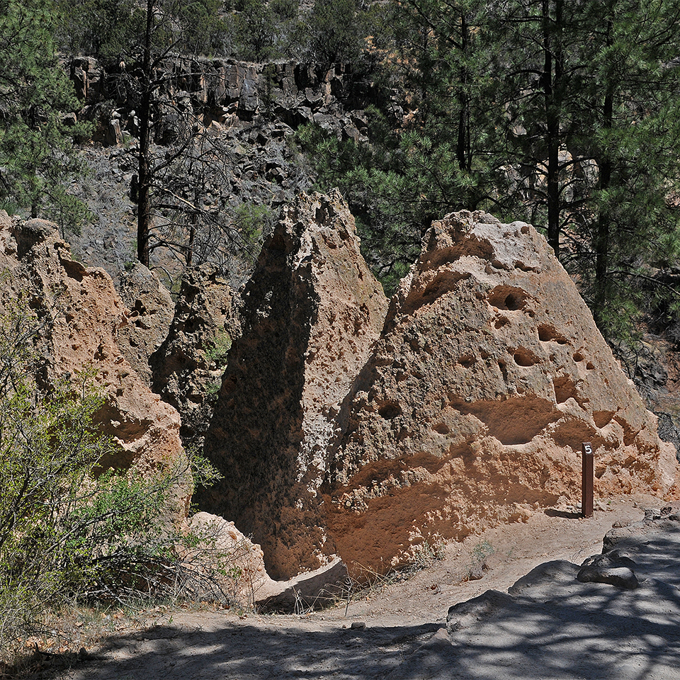
<p>Here you can see tuff formations called tent rocks. These form when a more durable material shields portions of the softer rock from erosion. This coating can form in a variety of ways, and several of these types can be seen in Frijoles Canyon. Escaping vapor can heat the r…
Falls Trail Tour - Stop 4
~4 min drive
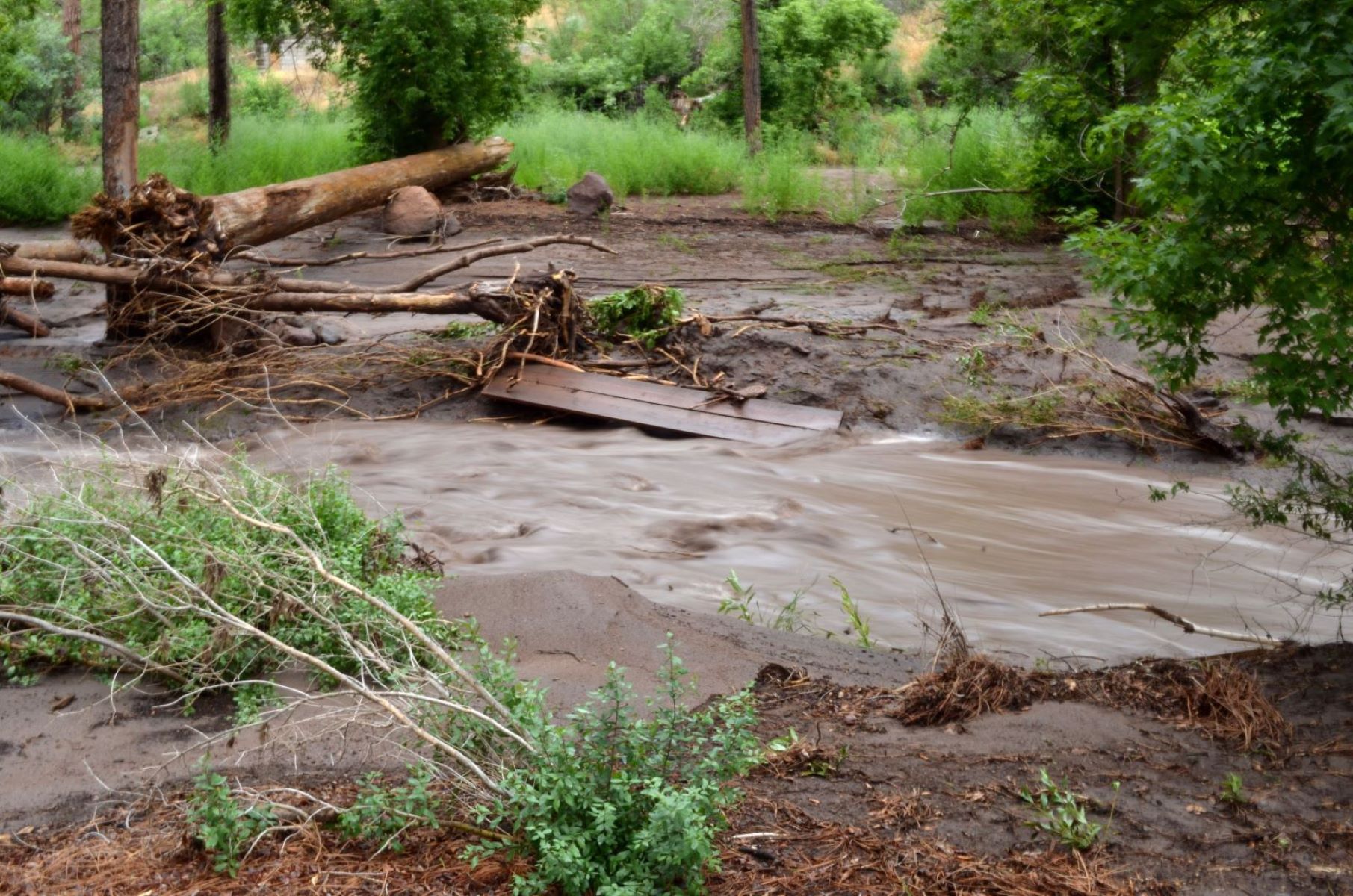
<p>For a few thousand years, the climate in Bandelier has been similar to what it is today. Currently, this area receives most of its 16 inches of annual precipitation in the form of snow and summer thunderstorms. Spring is often windy, as are the summer storms. Both wind and…
Falls Trail Tour - Stop 1
~4 min drive
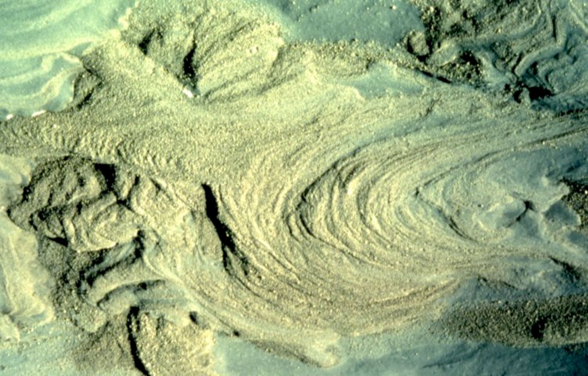
The story begins over a million years ago, with two major eruptions of the Jemez (HAY-mez) Volcano. Dense, destructive masses of hot ash, lava, and gases were ejected from the volcano and sped downhill, in what is called a pyroclastic flow. The landscape was buried in ash up t…
Rock Drawings Pueblo Loop Trail Stop 20
~4 min drive
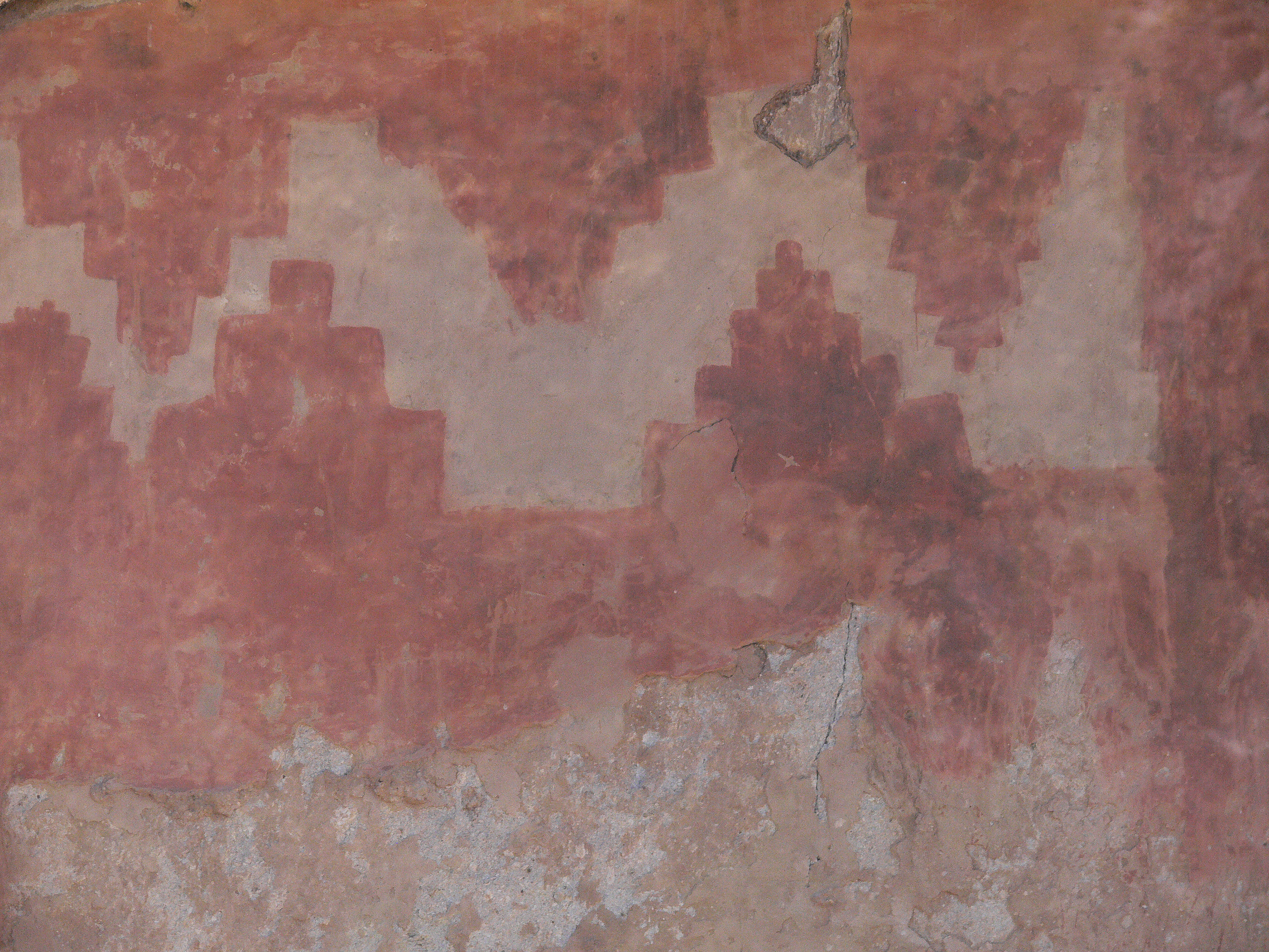
Also look for numerous petroglyphs (carved rock drawings) as you stroll past Long House. There are hundreds of them in this location. There is also a pictograph (painted drawing) under glass. Once upon a time this pictograph was covered with plaster. It was uncovered during ea…
Falls Trail Tour - Stop 3
~4 min drive
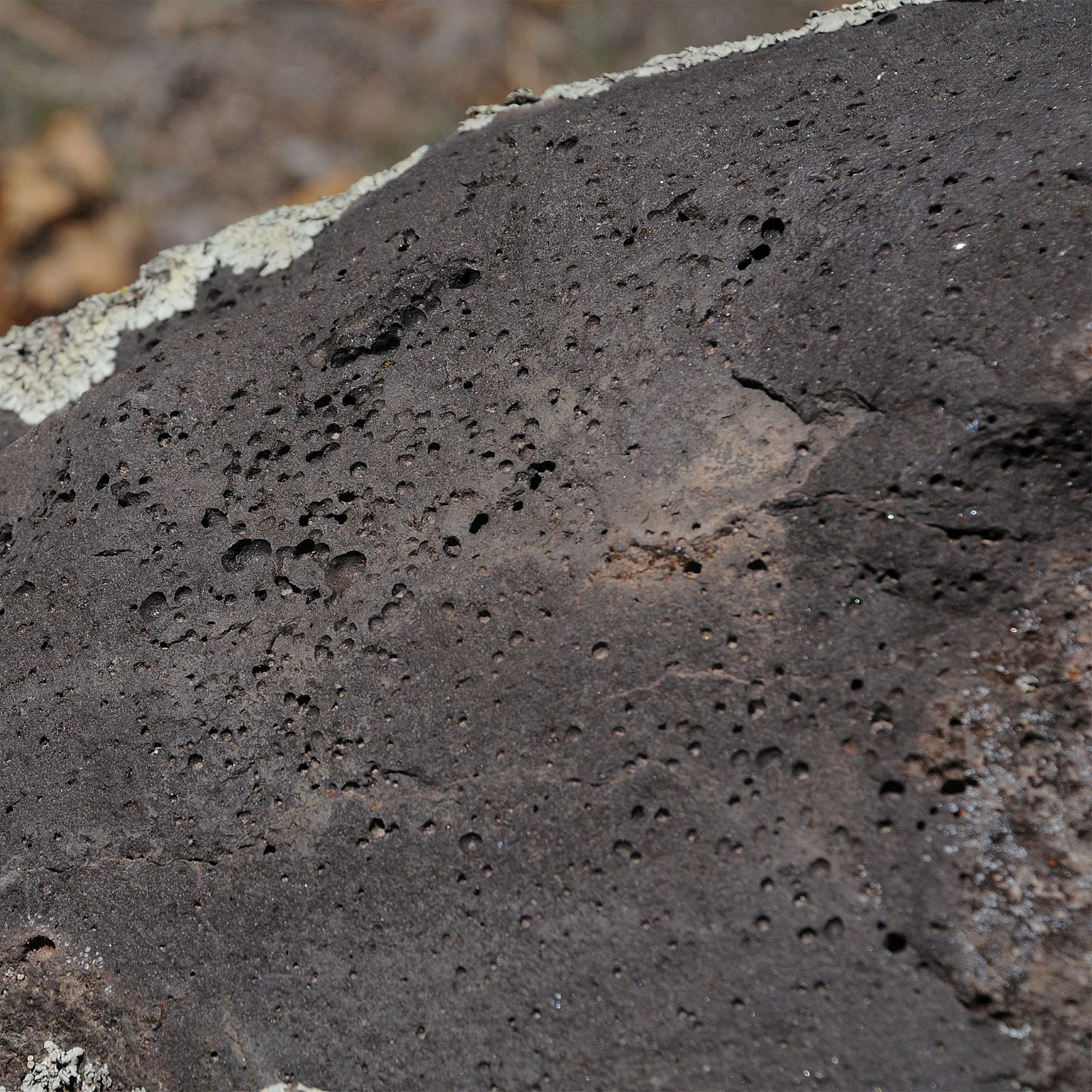
<p>This is a geologically active area, and the Jemez Volcano was not the only one to erupt. Look below the tuff, and you can see basalt, a much darker and harder rock. These older deposits from the Cerros del Rio Volcanic Field were created in a very different way. The basalt…
Falls Trail
~4 min drive
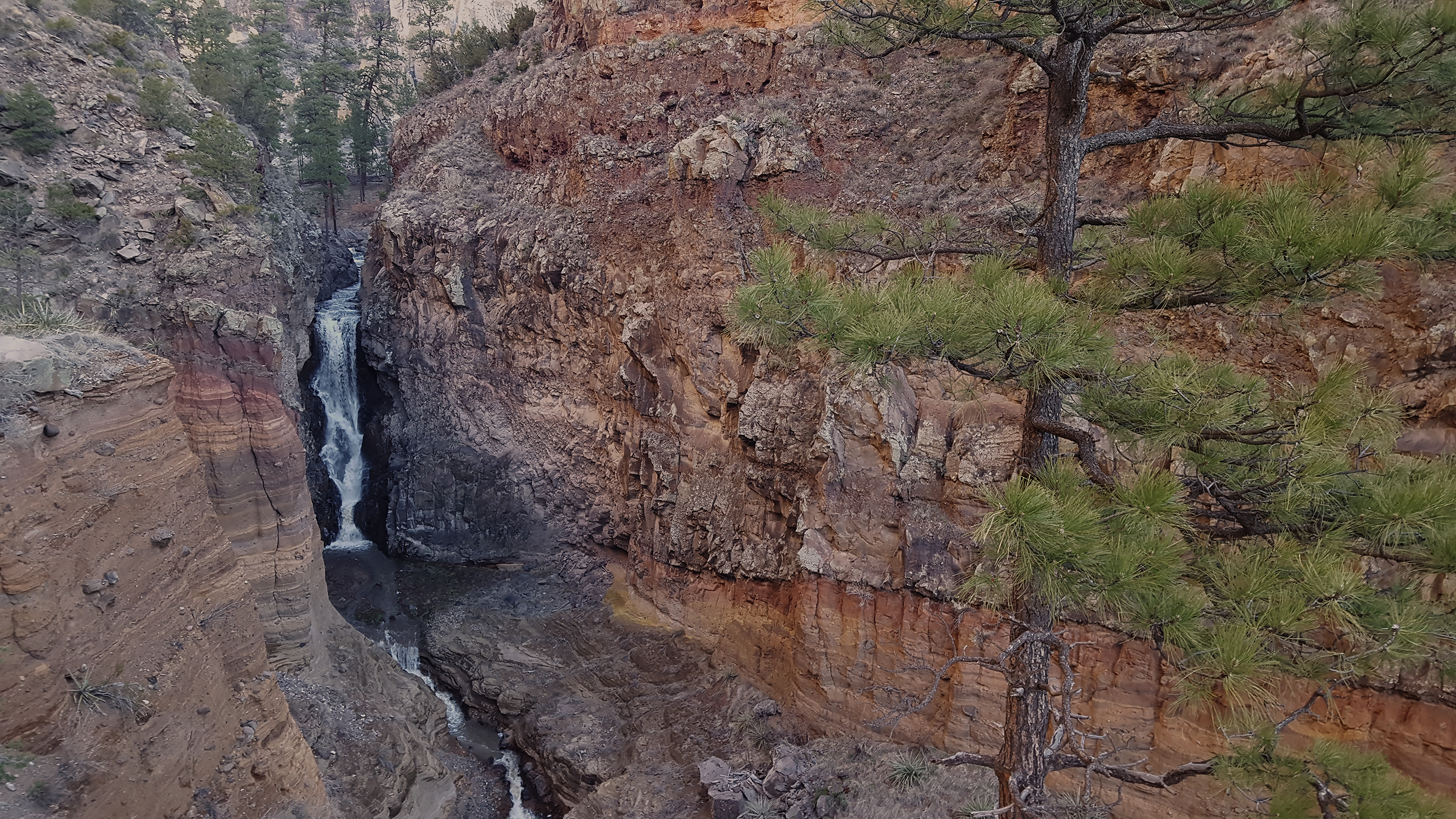
The Falls Trail begins a short distance from the park visitor center and travels down Frijoles Canyon to an 80 foot waterfall (unfortunately often dry in summer). The roundtrip is 3 miles with 400 foot elevation change. Lots of cool geology, plants, and wildlife on this hike t…
Local operatorsoffering guided trips. You book directly with them — Roamze doesn’t take a cut.
Turquoise Trail Campground
Hiking business nearby (~43 mi away) — hasn't claimed their Roamze page yet