Juniper Campground Loop A
Campground
Campground · 0.8 mi from the trail
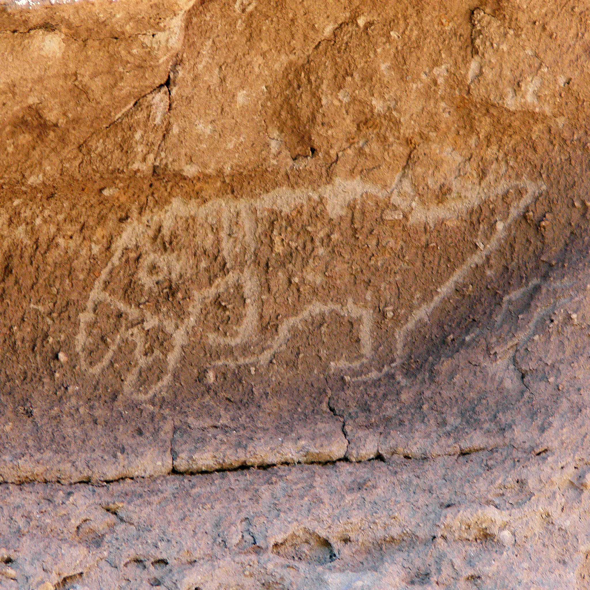 Photo: NPS
Alert in the area
The National Park Service lists an alert for Bandelier National Monument.
The Use of GPS is NOT Recommended
Park alert covering Bandelier National Monument · NPS · Bandelier National Monument
As of · Source: NPS · Bandelier National Monument. Agencies don't list every closure — check before you go.
Petroglyphs (carved drawings) are far more common than pictographs (painted drawings) at Bandelier. Do you see the carving of a macaw under the overhang? How about the one of an elk to the left of the macaw? The people of Frijoles Canyon lived, worked, laughed, and died here for over four centuries. In that time, they learned to grow crops, read the weather and the stars, use the abundant natural resources, and live comfortably. However, like all cultures and all societies, things change. Frijoles and the surrounding areas of Bandelier were not abandoned. There was no mysterious migration or sudden disappearance of its people. Old systems gave way to new traditions and ways of life. Although the pueblo people have not lived in the canyon since the late 1500’s, a deep spiritual connection still exists. Pueblo residents often come to visit, remember, and teach the next generation about life in the canyon when their ancestors lived here. We can do the same and take care of it for future generations. This is the end of the Pueblo Loop Trail. Continuing and crossing the creek will bring you to the junction with the Alcove House Trail. Turn right to go the half mile to Alcove House, another cliff dwelling 140 feet above the canyon floor with four large ladders to climb up and down. Or turn left to return the half mile back to the Visitor Center and parking. In winter it may be best to back track on the trail you just walked, as the rest of the trail and the creek crossing, can be slick and icy.
Juniper Campground Loop A
Campground
 If it rainsNewMexicophotographer1, CC BY-SA 4.0 · Wikimedia Commons
Places © OpenStreetMap contributors · Photos: NewMexicophotographer1, CC BY-SA 4.0 (commons)
More in Santo Domingo PuebloNot on Roamze yet. Their page has how to reach them.
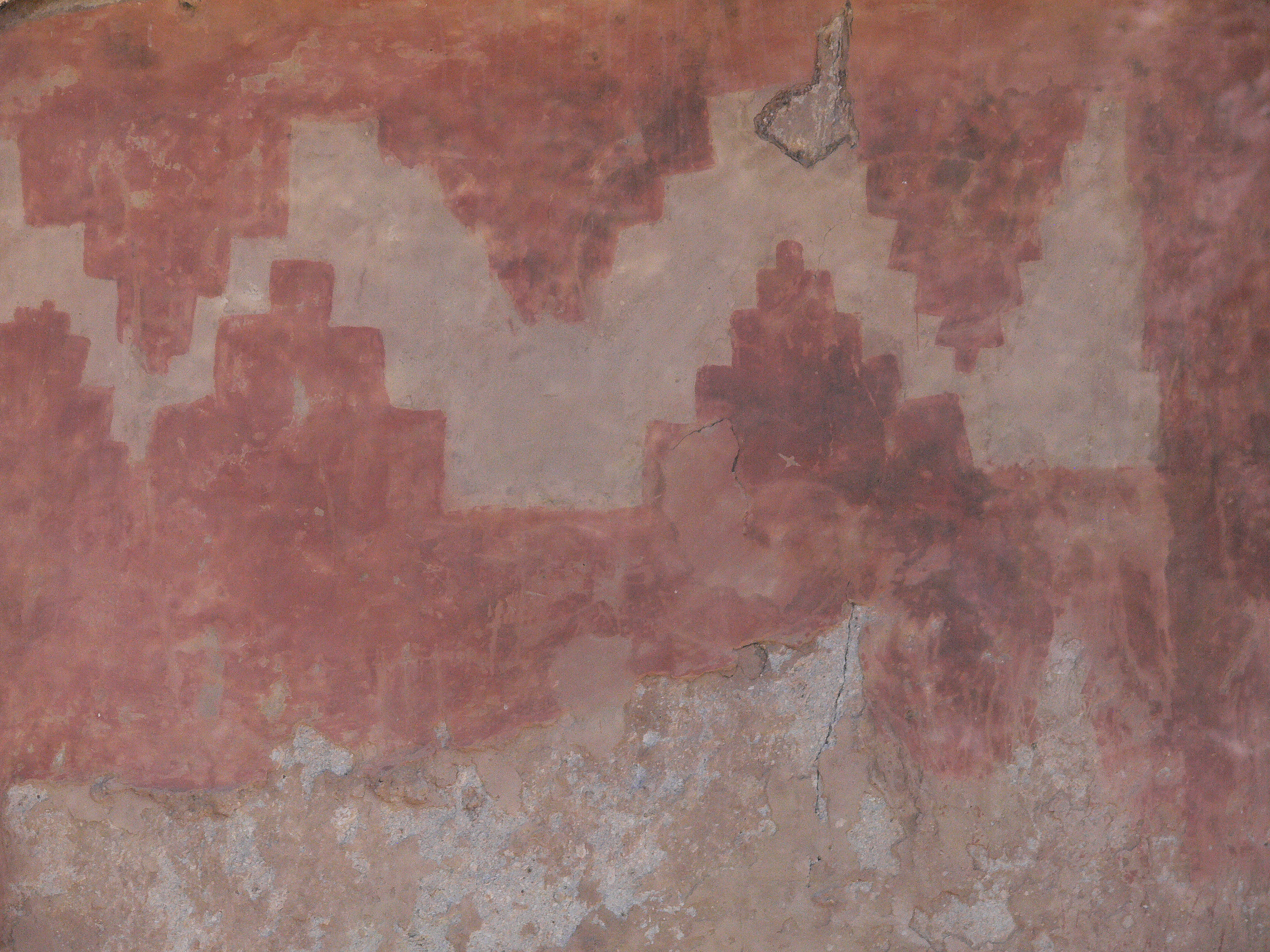 Rock Drawings Pueblo Loop Trail Stop 20HikingPhoto: NPS0.1 mi
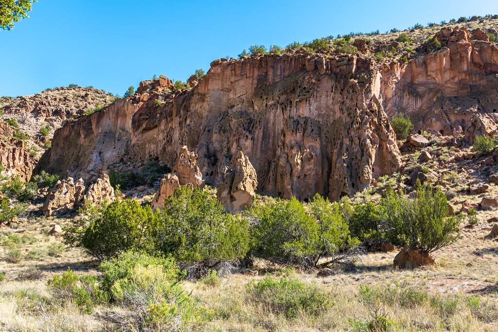 Alcove House TrailHikingPhoto: dconvertini, CC BY-SA 2.0 (via Flickr)0.1 mi
 Long House Pueblo Loop Trail Stop 19HikingPhoto: NPS0.1 mi
 Orchard Pueblo Loop Trail Stop 18HikingPhoto: NPS0.2 mi
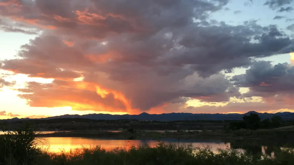 Tetilla PeakCampingPhoto: Recreation.gov (RIDB) / public domain9.6 mi
Source: Roamze catalog (indexable pages within 10 miles, PostGIS distance)
Alcove House TrailHiking · Next doorPhoto: dconvertini, CC BY-SA 2.0 (via Flickr) Burro TrailHiking · Next doorPhoto: MARELBU, CC BY 3.0 (via Wikimedia Commons)
 Pueblo Loop TrailHiking · Next doorPhoto: olekinderhook, CC BY 3.0 (via Wikimedia Commons)
Best months: March–May and October. Best months have typical highs of 55–85 °F, lows of 30 °F or warmer (32 °F where the station doesn't record snow), at most one snowy day and no more than 12 wet days.
Jan
50° / 20°
4 wet · 1 snow
Feb
56° / 24°
4 wet · 1 snow
Mar
64° / 30°
4 wet
Apr
71° / 37°
4 wet
May
81° / 46°
5 wet
Jun
92° / 56°
5 wet
Jul
94° / 61°
10 wet
Aug
92° / 59°
10 wet
Sep
86° / 52°
6 wet
Oct
74° / 39°
5 wet
Nov
60° / 28°
4 wet
Dec
50° / 20°
4 wet · 1 snow
Typical high / low (°F) and days with rain or snow, 1991–2020. Measured at Cochiti Dam, NM, 10.3 mi away at 5,560 ft. The station sits about 600 ft lower than this place, so expect it a little cooler here. Source: NOAA NCEI U.S. Climate Normals 1991–2020.
