Socorro Valley Bosque Trail
- 1.6 mi
- round trip
- 4,610 ft
- high point
- Out and back
- route
- Easy
- difficulty
- Mar–May, Sep–Oct
- best months
Clear at last check
Weather is good · OpenWeather · checked 22 h ago
The Socorro Valley Bosque Trail is an easy, out-and-back hike of about 3 miles, with almost no change in elevation. The trail's high point sits at 4,610 feet, and the low point is at 4,602 feet, so the climb is nearly flat, and the whole trip is a gentle walk through the bosque. The trail lies about a mile from the town of Escondida in southern New Mexico. It is an easy option for a short outing close to town. Spring and fall are the most comfortable times to go. Typical averages from the weather station in Socorro, about 2.6 miles away, show April highs around 75°F and October highs around 73°F, while July and August average highs near 91°F with more wet days. Pueblitos Road is about 1.6 miles away, and Socorro Single Track is about 3.2 miles off. For a longer outing, Socorro Nature Area Trail A is about 4.2 miles away, and the climbing at Spook Outlying Boulders is about 9 miles away.
- Pueblitos RoadHiking1.6 mi
- Socorro Single TrackHiking3.2 mi
- Socorro Nature Area Trail AHiking4.2 mi
- M Mountain RunHiking4.3 mi
- Spook Outlying BouldersRock climbing8.9 mi
- Corner BlockRock climbing8.9 mi
- Red WallRock climbing8.9 mi
- The North EndRock climbing8.9 mi
Source: Roamze catalog (indexable pages within 10 miles, PostGIS distance)
 Unit a Birding TrailHiking · ~24 min drivePhoto: JoelDeluxe, CC BY 2.0 (via Flickr)
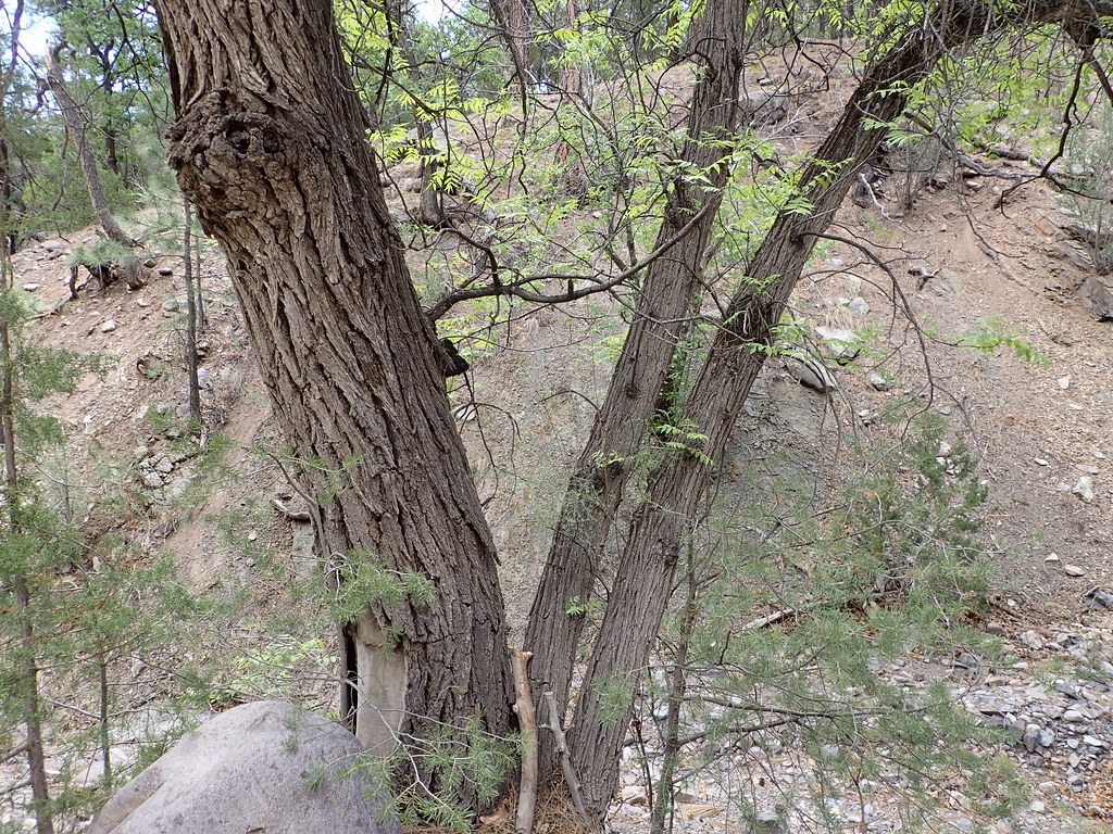 MesaHiking · ~27 min drivePhoto: Matt Lavin, CC BY-SA 2.0 (via Flickr)
- M Mountain RunHiking · ~7 min drive
 Dead Horse Trail # 12Hiking · ~27 min drivePhoto: Matt Lavin, CC BY-SA 2.0 (via Flickr)
- Socorro Single TrackHiking · ~5 min drive
- Six Mile TrailHiking · ~20 min drive
- Grand Enchantment TrailHiking · ~2 min drive
- Johnson Hill RoadHiking · ~10 min drive
- Grand Enchantment TrailHiking · ~20 min drive
- Pueblitos RoadHiking · ~3 min drive
Best time to visit Socorro Valley Bosque Trail
Best months: March–May and September–October. Best months have typical highs of 55–85 °F, lows of 30 °F or warmer (32 °F where the station doesn't record snow), at most one snowy day and no more than 12 wet days.
Jan
52° / 23°
3 wet
Feb
59° / 28°
3 wet
Mar
67° / 34°
3 wet
Apr
75° / 41°
2 wet
May
83° / 49°
3 wet
Jun
91° / 57°
4 wet
Jul
91° / 63°
8 wet
Aug
89° / 61°
9 wet
Sep
84° / 53°
6 wet
Oct
73° / 41°
4 wet
Nov
61° / 31°
4 wet
Dec
50° / 24°
4 wet
Typical high / low (°F) and days with rain or snow, 1991–2020. Measured at Socorro, NM, 2.6 mi away at 4,593 ft. This station doesn't record snowfall. Source: NOAA NCEI U.S. Climate Normals 1991–2020.

Map and trail data © OpenStreetMap contributors
