Sids Prong Trail #121
- 6.4 mi
- round trip
- 3,205 ft
- climb
- 8,974 ft
- high point
- Out and back
- route
Is Sids Prong Trail #121 open right now?
Closure in the area
There's a closure order in Gila National Forest. It doesn't name Sids Prong Trail #121, so check the source for the area it covers.
Beaverhead Water Non-Potable
Agency closure covering Gila National Forest · USFS · Gila National Forest
Harmful algae detected in Lake Roberts
Agency alert covering Gila National Forest · USFS · Gila National Forest
Potentially Dangerous Animal Encounters
Agency alert covering Gila National Forest · USFS · Gila National Forest
As of · Source: USFS · Gila National Forest. Agencies don't list every closure — check before you go.
Sids Prong Trail #121 is a hard out-and-back hike in the Aldo Leopold Wilderness, part of the Black Range Ranger District of Gila National Forest in New Mexico. The trail is about 12.8 miles long, with a one-way elevation gain of 3,205 feet, taking you from a low point of about 6,720 feet to a high of about 8,974 feet. The route is a long, steep climb, and it's a wilderness trip, so plan on a full day. The Forest Service manages the land, and the trail lies within designated wilderness, which adds to the sense of remoteness. The closest neighbor is Victorio Park Trail #794, under a mile away. Pretty Canyon Trail #812 and Lake Trail #110 are both within about 3 miles. For an overnight base, Iron Creek Campground sits about 8.4 miles away.
Local outfitters
- Silver City RV Park32 mi away
- Burro Mountain Homestead RV Park47 mi away
Not on Roamze yet. Their page has how to reach them.
- Victorio Park Trail #794Hiking0.9 mi
- Pretty Canyon Trail #812Hiking2.9 mi
- Lake Trail #110Hiking3.2 mi
- Powderhorn Ridge Trail #82Hiking3.3 mi
- Mcknight Canyon Trail #92Hiking3.3 mi
- Black Range Crest Trail #79Hiking3.3 mi
- Iron Creek CampgroundCamping8.4 mi
- Kingston CampgroundCamping9.7 mi
Source: Roamze catalog (indexable pages within 10 miles, PostGIS distance)
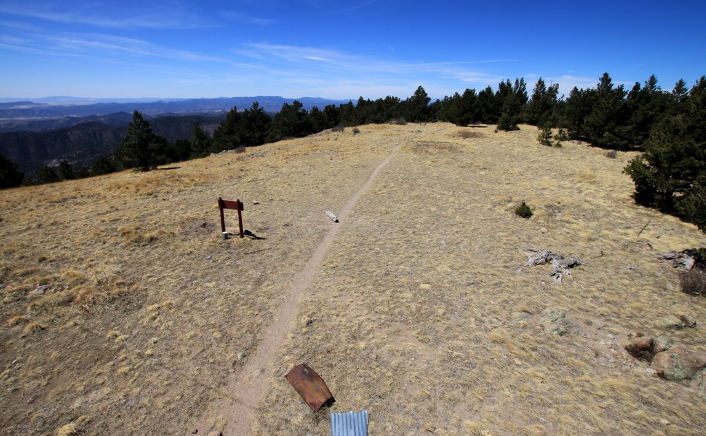 Cdt JovHiking · ~9 min drivePhoto: uıɐɾ ʞ ʇɐɯɐs, CC BY-SA 2.0 (via Flickr)
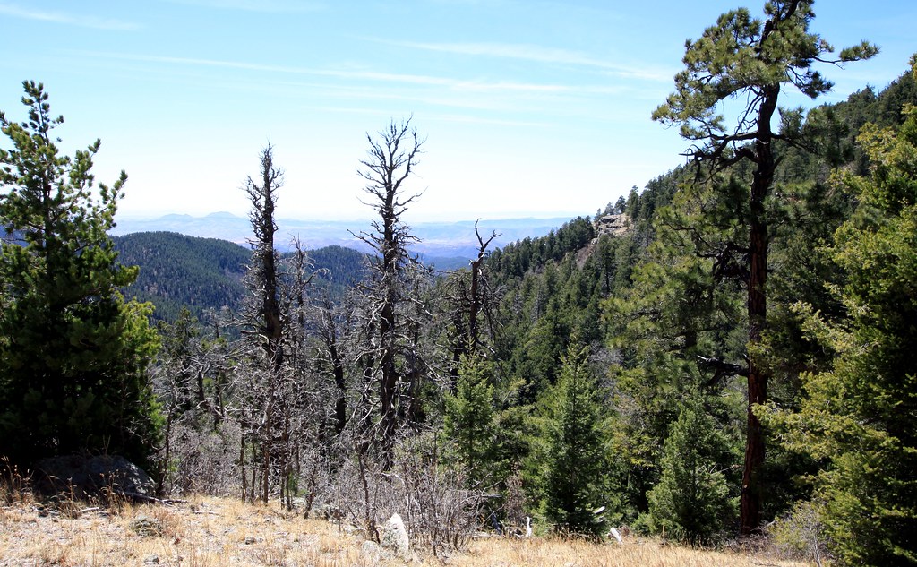 Old Mineral CreekHiking · ~10 min drivePhoto: uıɐɾ ʞ ʇɐɯɐs, CC BY-SA 2.0 (via Flickr)
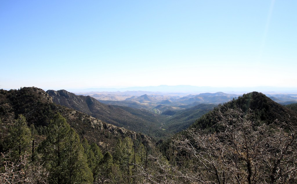 Scenic TrailHiking · ~15 min drivePhoto: uıɐɾ ʞ ʇɐɯɐs, CC BY-SA 2.0 (via Flickr)
- Black Range Crest Trail #79Hiking · ~6 min drive
 Hillsboro Peak Bypass Trail #412Hiking · ~10 min drivePhoto: uıɐɾ ʞ ʇɐɯɐs, CC BY-SA 2.0 (via Flickr)
- Ladrone Gulch Trail #127Hiking · ~10 min drivePhoto: uıɐɾ ʞ ʇɐɯɐs, CC BY-SA 2.0 (via Flickr)
- Black Range Crest Trail #79Hiking · ~6 min drive
- Holden Prong Trail #114Hiking · ~9 min drive
- Cdt JovHiking · ~15 min drivePhoto: uıɐɾ ʞ ʇɐɯɐs, CC BY-SA 2.0 (via Flickr)
- Pretty Canyon Trail #812Hiking · ~5 min drive

Map and trail data © OpenStreetMap contributors
