Seven Cabins
- 7.4 mi
- round trip
- 2,278 ft
- climb
- 9,240 ft
- high point
- Out and back
- route
Caution at last check
Agency alerts are in effect for this area; weather is good · USFS, OpenWeather · checked 16 h ago
Is Seven Cabins open right now?
Alert in the area
The Forest Service lists 5 alerts for Smokey Bear Ranger District.
Order# 03-08-01-26-003 Cedar Creek Closure
Agency alert covering Smokey Bear Ranger District · Order 03-08-01-26-003 · USFS · Smokey Bear Ranger District
Order# 03-08-26-002: Temporary Road Closure
Agency alert covering Lincoln National Forest · Order 03-08-26-002 · USFS · Lincoln National Forest
Current Fire Restrictions and Related Prohibitions
Agency alert covering Lincoln National Forest · USFS · Lincoln National Forest
InciWeb - for current incidents
Agency alert covering Lincoln National Forest · USFS · Lincoln National Forest
Snow Play Closure
Agency alert covering Smokey Bear Ranger District · Order 03-08-01-24-007 · USFS · Smokey Bear Ranger District
As of · Source: USFS · Smokey Bear Ranger District. Agencies don't list every closure — check before you go.
Seven Cabins is a hard hike in the Capitan Mountains Wilderness, part of the Smokey Bear Ranger District of Lincoln National Forest in New Mexico. The Forest Service manages the land, and the trail is a natural-surface out-and-back that climbs from about 6,957 feet to about 9,240 feet over 7.4 miles, with a total elevation gain of 2,278 feet. Horses are allowed on the trail, but bikes are not. The route is long and steep, so plan for a full day on foot. Several other hikes sit close by. North Base is about a mile away, and Copeland Canyon is just beyond it. Pierce Canyon Trail is about 2 miles off, and Capitan Peak is roughly 3 miles away.
- North BaseHiking0.9 mi
- Copeland CanyonHiking1.1 mi
- Pierce Canyon TrailHiking2.2 mi
- Capitan PeakHiking3.2 mi
- North Base TrailHiking3.2 mi
- Pierce Alternate TrailHiking3.6 mi
- SummitHiking3.7 mi
- Capitan GapRock climbing9.3 mi
Source: Roamze catalog (indexable pages within 10 miles, PostGIS distance)
 Warner GulchHiking · ~43 min drivePhoto: Patrick Alexander from Las Cruces, NM, CC0 (via Wikimedia Commons)
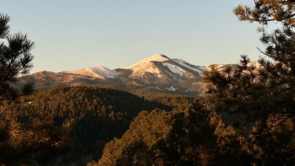 Alto Eagle Creek ShortcutHiking · ~46 min drivePhoto: joncutrer, CC BY 2.0 (via Flickr)
- North BaseHiking · ~1 min drive
- Capitan PeakHiking · ~5 min drive
- Alto Eagle Creek TrailHiking · ~46 min drivePhoto: joncutrer, CC BY 2.0 (via Flickr)
- SummitHiking · ~6 min drive
- Mitt and BarHiking · ~8 min drive
- Alto Reservoir Loop TrailHiking · ~46 min drivePhoto: joncutrer, CC BY 2.0 (via Flickr)
- South Base TrailHiking · ~8 min drive
- Thorium CanyonHiking · ~17 min drive
