Capitan Peak
- 4.6 mi
- round trip
- 2,229 ft
- climb
- 9,128 ft
- high point
- Out and back
- route
Is Capitan Peak open right now?
Alert in the area
The Forest Service lists 5 alerts for Smokey Bear Ranger District.
Order# 03-08-01-26-003 Cedar Creek Closure
Agency alert covering Smokey Bear Ranger District · Order 03-08-01-26-003 · USFS · Smokey Bear Ranger District
Order# 03-08-26-002: Temporary Road Closure
Agency alert covering Lincoln National Forest · Order 03-08-26-002 · USFS · Lincoln National Forest
Current Fire Restrictions and Related Prohibitions
Agency alert covering Lincoln National Forest · USFS · Lincoln National Forest
InciWeb - for current incidents
Agency alert covering Lincoln National Forest · USFS · Lincoln National Forest
Snow Play Closure
Agency alert covering Smokey Bear Ranger District · Order 03-08-01-24-007 · USFS · Smokey Bear Ranger District
As of · Source: USFS · Smokey Bear Ranger District. Agencies don't list every closure — check before you go.
Capitan Peak is a moderate out-and-back hike in the Capitan Mountains Wilderness, part of the Smokey Bear Ranger District of Lincoln National Forest in New Mexico. The route is about 9 miles long, with a one-way elevation gain of 2,229 feet, taking you from a low point of about 6,892 feet to the summit at 9,128 feet. The Forest Service manages the land, and the trail is natural-surfaced and open year-round. The Capitan Mountains Wilderness makes this a destination for anyone looking to spend a full day in the backcountry. The trail is rated moderate, and horses are allowed, so it works for riders as well as hikers. The North Base Trail lies less than a mile away, and Copeland Canyon and Seven Cabins are both within about 3 miles. Pierce Canyon Trail is roughly 4 miles off.
- North Base TrailHiking0.9 mi
- Copeland CanyonHiking2.1 mi
- Seven CabinsHiking3.2 mi
- Pierce Canyon TrailHiking3.9 mi
- North BaseHiking4 mi
- Pancho CanyonHiking4.1 mi
- Pierce Alternate TrailHiking4.6 mi
- South Base TrailHiking5.5 mi
Source: Roamze catalog (indexable pages within 10 miles, PostGIS distance)
 Warner GulchHiking · ~48 min drivePhoto: Patrick Alexander from Las Cruces, NM, CC0 (via Wikimedia Commons)
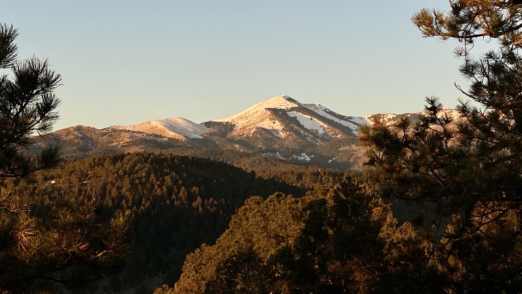 Alto Eagle Creek ShortcutHiking · ~49 min drivePhoto: joncutrer, CC BY 2.0 (via Flickr)
- North BaseHiking · ~7 min drive
- Mitt and BarHiking · ~13 min drive
- Alto Reservoir Loop TrailHiking · ~49 min drivePhoto: joncutrer, CC BY 2.0 (via Flickr)
- Pancho CanyonHiking · ~7 min drive
- Thorium CanyonHiking · ~22 min drive
- Alto Eagle Creek TrailHiking · ~49 min drivePhoto: joncutrer, CC BY 2.0 (via Flickr)
- South Base TrailHiking · ~9 min drive
- Cedar Ridge TrailHiking · ~25 min drive
