Alto Eagle Creek Trail
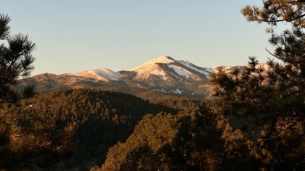 Photo: joncutrer, CC BY 2.0 (via Flickr)
- 1.6 mi
- loop
- 532 ft
- climb
- 7,357 ft
- high point
- Loop
- route
- Apr–Jun, Sep–Oct
- best months
Alto Eagle Creek Trail is an easy hike of about 1.6 miles, starting at an elevation of roughly 7,305 feet and reaching a high point of about 7,357 feet. The trail has a total climb of 532 feet and a total descent of 569 feet, so it's a short outing with a slight net loss. The steepest stretch comes at about 1.5 miles in, with a grade of about 9 percent. The trail sits about half a mile from the town of Alto, New Mexico, making it an easy addition to a day spent in the area. For a longer outing, the Alto Reservoir Loop Trail starts just 0.1 mile away, and the Alto Eagle Creek Shortcut is about 0.2 mile off. Climbers can head to the Alto Lake Boulders, about half a mile away, or Plan B Boulder, about 0.6 mile away.
- Alto Reservoir Loop TrailHikingPhoto: joncutrer, CC BY 2.0 (via Flickr)0.1 mi
- Alto Eagle Creek ShortcutHikingPhoto: joncutrer, CC BY 2.0 (via Flickr)0.2 mi
- Alto Lake BouldersRock climbing0.5 mi
- Plan B BoulderRock climbing0.6 mi
- DownhillHiking1.9 mi
- Cedar Creek Village Access TrailHiking2 mi
- Alex Davis Memorial BoulderRock climbing2.7 mi
- Monjeau PeakRock climbing4.2 mi
Source: Roamze catalog (indexable pages within 10 miles, PostGIS distance)
- Alto Eagle Creek ShortcutHiking · Next doorPhoto: joncutrer, CC BY 2.0 (via Flickr)
 Telephone CanyonHiking · ~7 min drivePhoto: CK Kelly, CC BY 4.0 (via Wikimedia Commons)
 Grindstone Canyon LoopHiking · ~9 min drivePhoto: waterarchives, CC BY-SA 2.0 (via Flickr)
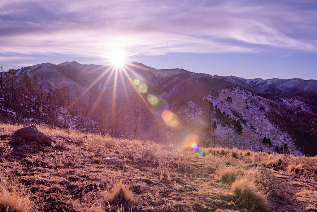 North Eagle CreekHiking · ~7 min drivePhoto: joncutrer, CC BY 2.0 (via Flickr)
 Rodamaker CanyonHiking · ~10 min drivePhoto: waterarchives, CC BY-SA 2.0 (via Flickr)
- Perk Canyon TrailHiking · ~7 min drive
- Fisherman's TrailHiking · ~9 min drivePhoto: waterarchives, CC BY-SA 2.0 (via Flickr)
- Miner's RoadHiking · ~8 min drivePhoto: CK Kelly, CC BY 4.0 (via Wikimedia Commons)
- PERK RIDGE TRAILHiking · ~7 min drive
- DownhillHiking · ~3 min drive
Best time to visit Alto Eagle Creek Trail
Best months: April–June and September–October. Best months have typical highs of 55–85 °F, lows of 30 °F or warmer (32 °F where the station doesn't record snow), at most one snowy day and no more than 12 wet days.
Jan
49° / 21°
5 wet
Feb
51° / 23°
5 wet
Mar
58° / 27°
5 wet
Apr
65° / 33°
4 wet
May
73° / 40°
5 wet
Jun
82° / 47°
9 wet
Jul
81° / 51°
15 wet
Aug
79° / 50°
15 wet
Sep
75° / 44°
9 wet
Oct
67° / 35°
6 wet
Nov
56° / 26°
4 wet
Dec
48° / 22°
5 wet
Typical high / low (°F) and days with rain or snow, 1991–2020. Measured at Ruidoso, NM, 2.1 mi away at 6,930 ft. This station doesn't record snowfall. Source: NOAA NCEI U.S. Climate Normals 1991–2020.
Map and trail data © OpenStreetMap contributors
