Summit
- 15.6 mi
- round trip
- 2,154 ft
- climb
- 10,192 ft
- high point
- Out and back
- route
Is Summit open right now?
Alert in the area
The Forest Service lists 5 alerts for Smokey Bear Ranger District.
Order# 03-08-01-26-003 Cedar Creek Closure
Agency alert covering Smokey Bear Ranger District · Order 03-08-01-26-003 · USFS · Smokey Bear Ranger District
Order# 03-08-26-002: Temporary Road Closure
Agency alert covering Lincoln National Forest · Order 03-08-26-002 · USFS · Lincoln National Forest
Current Fire Restrictions and Related Prohibitions
Agency alert covering Lincoln National Forest · USFS · Lincoln National Forest
InciWeb - for current incidents
Agency alert covering Lincoln National Forest · USFS · Lincoln National Forest
Snow Play Closure
Agency alert covering Smokey Bear Ranger District · Order 03-08-01-24-007 · USFS · Smokey Bear Ranger District
As of · Source: USFS · Smokey Bear Ranger District. Agencies don't list every closure — check before you go.
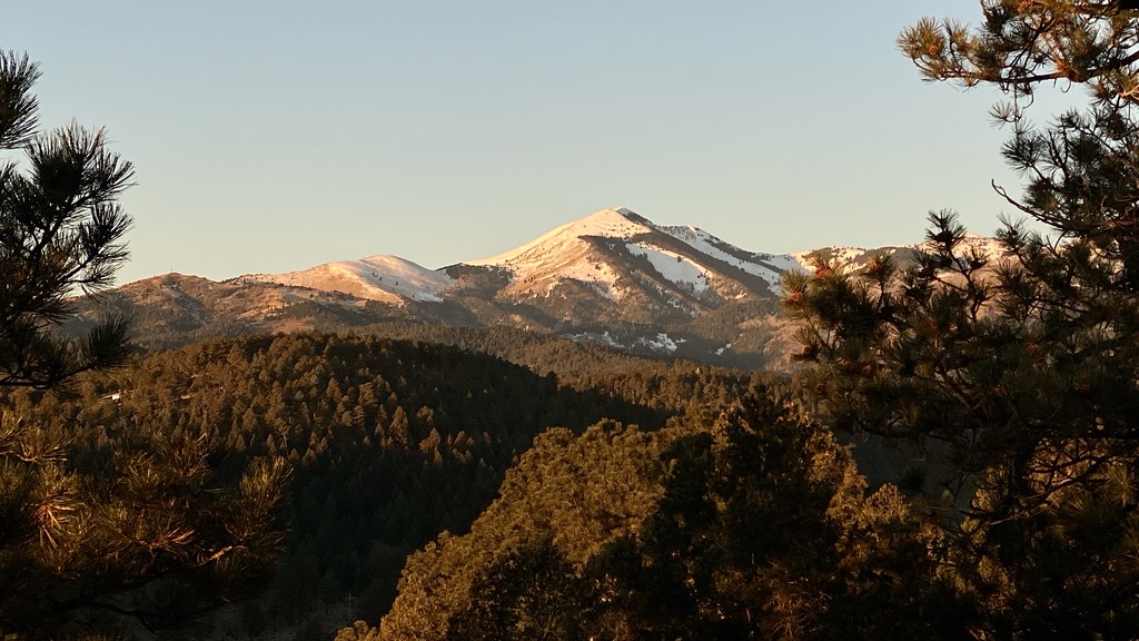
Summit is a hard hike in the Smokey Bear Ranger District of Lincoln National Forest in New Mexico, about 15.6 miles long with a one-way elevation gain of 2,154 feet. The trail is managed by the Forest Service and is a natural-surface route that allows horses but not bikes. The hike is an out-and-back, starting at a low point of about 9,128 feet and reaching a high of about 10,192 feet. That makes it a long, steep climb for a single day, so plan for a full commitment. Mitt and Bar is about a mile away, and Mitt and Bar Trail and Pierce Canyon Trail are within about 3 miles. Climbers can find Capitan Gap about 6 miles off.
- Mitt and BarHiking1 mi
- Mitt and Bar TrailHiking2.4 mi
- Pierce Canyon TrailHiking3.1 mi
- North BaseHiking3.4 mi
- Padilla TrailHiking3.6 mi
- Pierce Alternate TrailHiking3.6 mi
- Seven CabinsHiking3.7 mi
- Capitan GapRock climbing6.2 mi
Source: Roamze catalog (indexable pages within 10 miles, PostGIS distance)
 Alto Eagle Creek ShortcutHiking · ~39 min drivePhoto: joncutrer, CC BY 2.0 (via Flickr)
 Warner GulchHiking · ~40 min drivePhoto: Patrick Alexander from Las Cruces, NM, CC0 (via Wikimedia Commons)
- North BaseHiking · ~6 min drive
- Alto Eagle Creek TrailHiking · ~40 min drivePhoto: joncutrer, CC BY 2.0 (via Flickr)
- Mitt and BarHiking · ~2 min drive
- South Base TrailHiking · ~7 min drive
- Alto Reservoir Loop TrailHiking · ~40 min drivePhoto: joncutrer, CC BY 2.0 (via Flickr)
- Thorium CanyonHiking · ~11 min drive
- South BaseHiking · ~11 min drive
- Pierce Alternate TrailHiking · ~6 min drive
