Seco
- 7.2 mi
- round trip
- 692 ft
- climb
- 9,142 ft
- high point
- Out and back
- route
Is Seco open right now?
Alert in the area
The Forest Service lists an alert for Santa Fe National Forest.
Road Conditions
Agency alert covering Santa Fe National Forest · USFS · Santa Fe National Forest
As of · Source: USFS · Santa Fe National Forest. Agencies don't list every closure — check before you go.
Seco is a hard hike in the Coyote Ranger District of the Santa Fe National Forest in New Mexico, managed by the Forest Service. The trail is an out-and-back of about 7 miles, with a one-way elevation gain of 692 feet, taking you from a low point of about 8,433 feet to a high of about 9,142 feet. It is open year-round. The most comfortable months for a visit are typically June and July, when typical averages from a nearby weather station run from highs around 72 to 74°F and lows in the mid-40s. Winter is cold, with typical January highs around 36°F and lows near 9°F. Bikes are allowed on the trail, and the surface is natural. The closest neighbors are Mesa Del Medio, about a mile away, and the Mesa del Medio Trail (97) and Mogote, both within about 1.6 miles. For climbing, Eclipse Buttress is about 5.4 miles off.
- Mesa Del MedioHiking1.1 mi
- Mesa del Medio Trail (97)Hiking1.5 mi
- MogoteHiking1.6 mi
- Ojitos PolvaderaHiking2.4 mi
- ChihuahuenosHiking3 mi
- Eclipse ButtressRock climbing5.4 mi
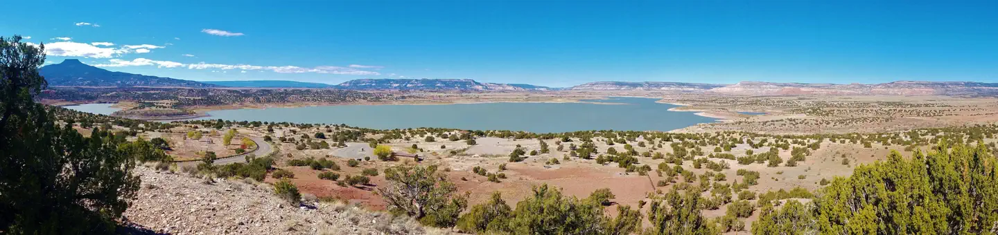 Riana - Abiquiu LakeLake fishing9 mi
- Coyote CanyonCamping9.1 mi
Source: Roamze catalog (indexable pages within 10 miles, PostGIS distance)
 Redwash Canyon TrailHiking · ~18 min drivePhoto: BFS Man from Webster, TX, USA, CC BY 2.0 (via Wikimedia Commons)
- Bancos LoopHiking · ~3 min drive
- Ojitos PolvaderaHiking · ~4 min drive
- Backcountry Driving RouteHiking · ~20 min drive
- Mesa Del MedioHiking · ~2 min drive
- Palo QuemadorHiking · ~6 min drive
- ChihuahuenosHiking · ~5 min drive
- Abrigo TrailHiking · ~22 min drive
- Mesa del Medio Trail (97)Hiking · ~3 min drive
- VallecitosHiking · ~9 min drive
Also worth it near here

