

Turquoise Trail Campground
Hiking business nearby (~46 mi away) — hasn't claimed their Roamze page yet
Free — you'll pick up right here.
Watch this trail
Sign up to watch it — saving subscribes you to gate, closure and report changes.
New Mexico
1.1 mi
Distance
231 ft
Gain
No agency boundary, access route or field report is mapped to it — so there is no verdict, and we won't guess. We'll tell you the moment this trail has something to say.
Covered nearby
Trails within 25 miles where we do have a current picture.
Nobody's filed a report here yet — be the first.
Why you'll love it
Ruin Mesa Trail
AI-suggested draft · review before you go
No permit or access details on file for this trail — check with the local land manager before you go.
Ruin Mesa Trail is a short and accessible hiking route that showcases the archaeological and natural heritage of New Mexico's high desert landscape. This easy trail climbs gradually through pinyon-juniper woodland to reach mesa-top ruins, offering hikers a chance to explore ancestral Puebloan history while enjoying panoramic views of the surrounding terrain. The modest elevation gain makes it ideal for families and those seeking a quick cultural and scenic experience.
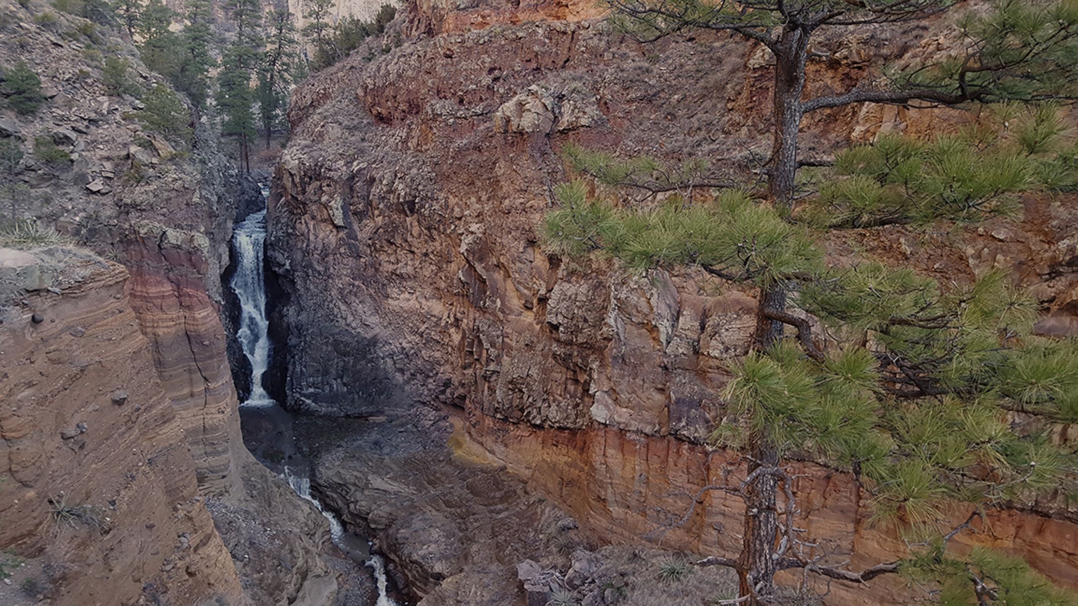
Falls Trail Tour - Introduction
~5 min drive
<p>Frijoles Canyon is a lush green ribbon in this arid environment. Creekside areas, known as riparian zones, are home to an amazing diversity of plant and animal life due to the relative abundance of water. Frijoles Creek is a permanent stream (runs year-round) for most of it…
Cuesta Colorada
~3 min drive
Easy 2.4-mile trail with gentle elevation gain near Cuesta Colorada.
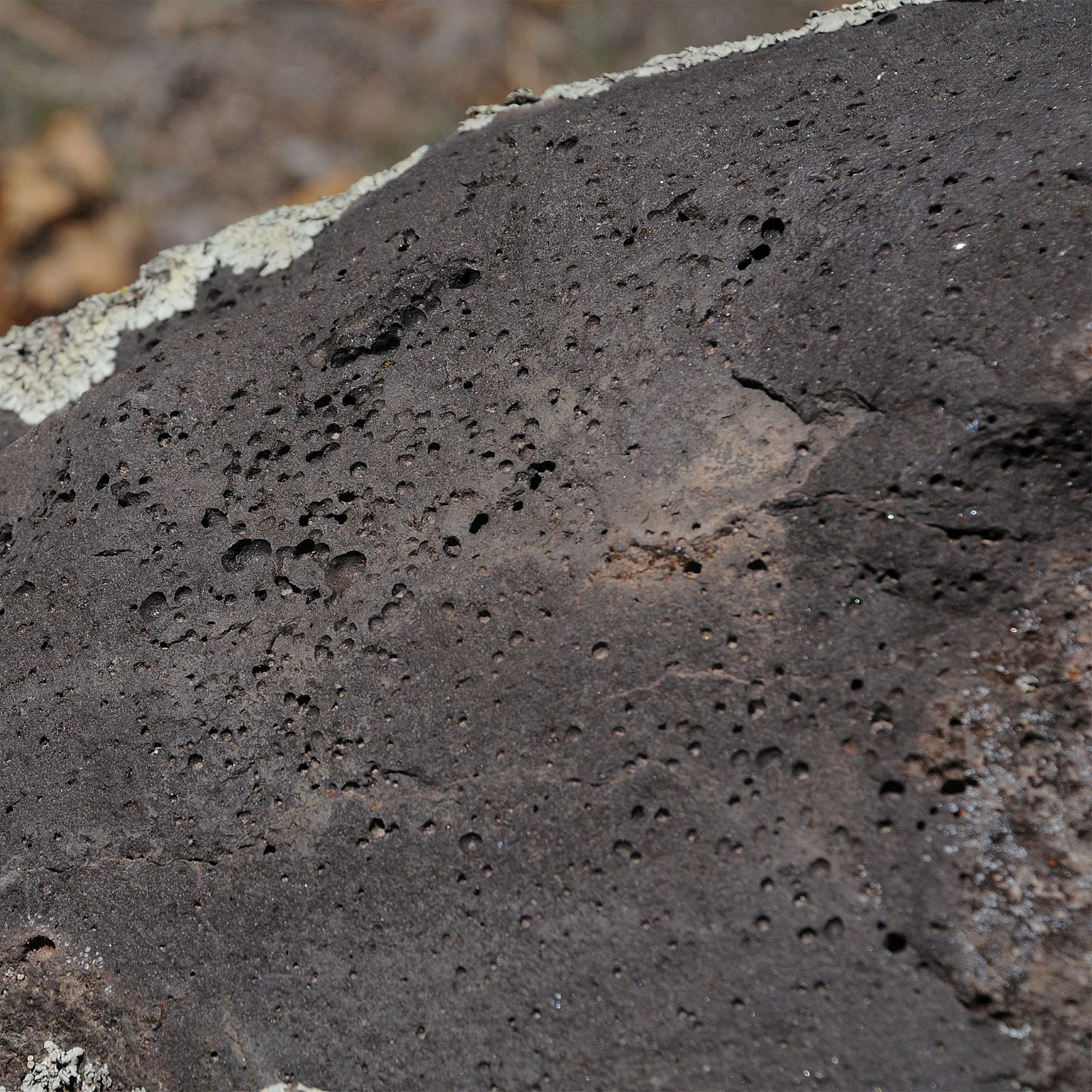
Falls Trail Tour - Stop 3
~5 min drive
<p>This is a geologically active area, and the Jemez Volcano was not the only one to erupt. Look below the tuff, and you can see basalt, a much darker and harder rock. These older deposits from the Cerros del Rio Volcanic Field were created in a very different way. The basalt…
Soda Springs
~5 min drive
Moderate 8-mile hike to natural springs with 709 ft elevation gain.
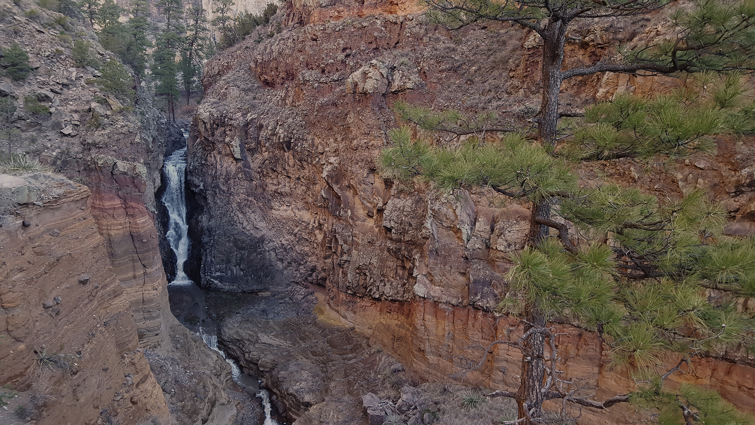
Falls Trail
~5 min drive
The Falls Trail begins a short distance from the park visitor center and travels down Frijoles Canyon to an 80 foot waterfall (unfortunately often dry in summer). The roundtrip is 3 miles with 400 foot elevation change. Lots of cool geology, plants, and wildlife on this hike t…
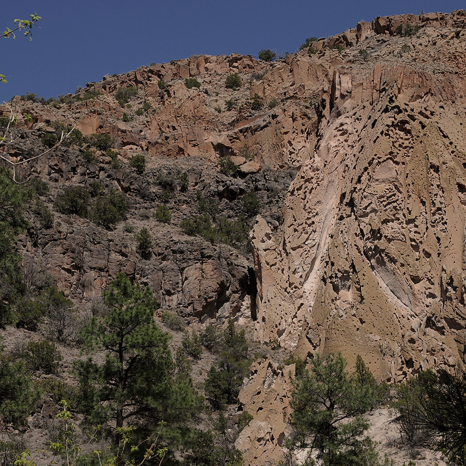
Falls Trail Tour - Stop 11
~5 min drive
<p>Look at the northeast wall of the canyon. Can you notice the boundary between basalt and tuff? This line represents one wall of the old Rio Grande waterway. Before the eruption of the Jemez Volcano, the big river flowed here. Its channel was changed and pushed southward by…
Falls Trail Tour - Stop 10
~5 min drive
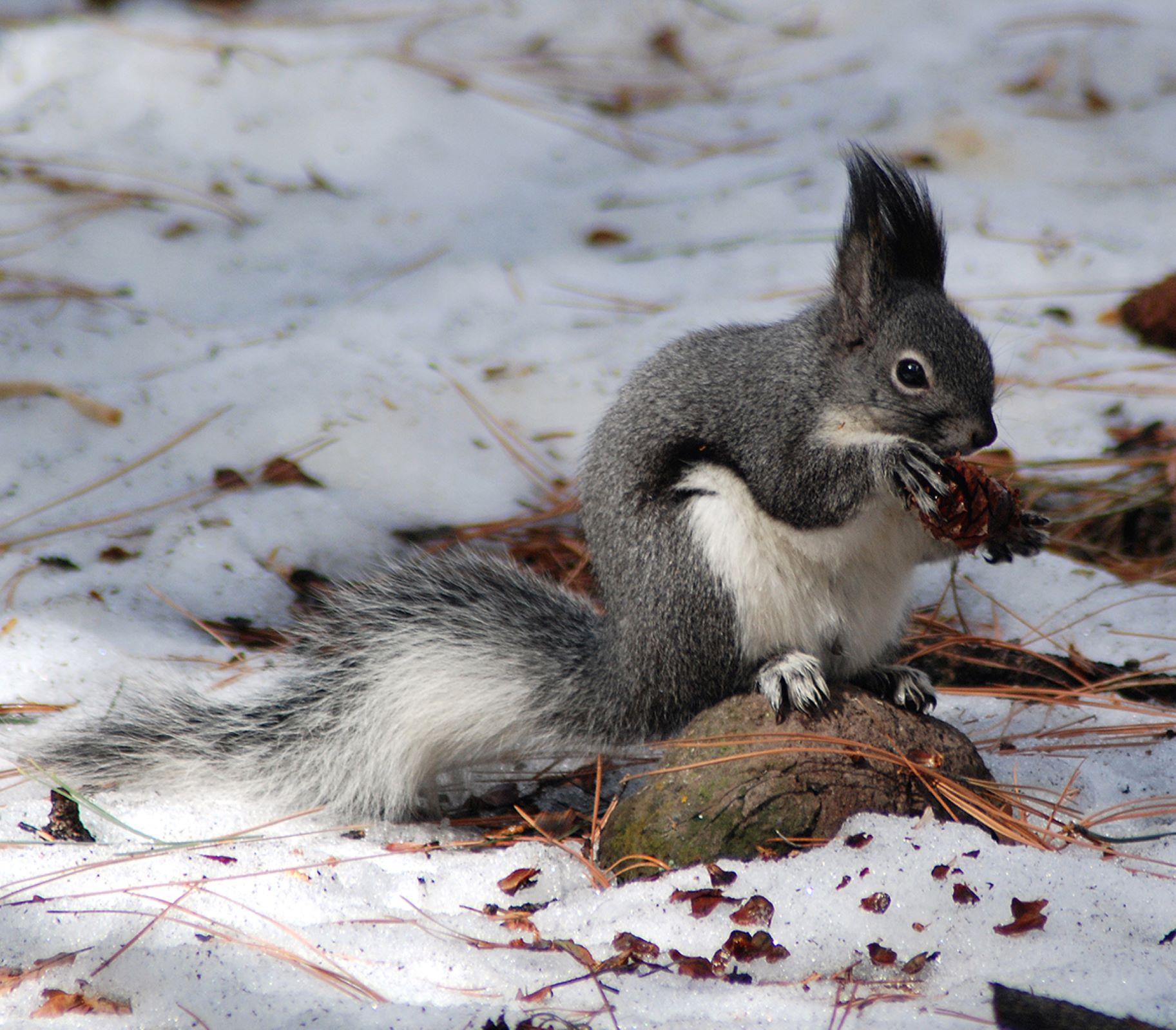
<p>Abert’s squirrels, with their tufted ears and long white tails, are one common inhabitant here. Abert’s squirrels live near ponderosa pines, which provide an important food source for the squirrels. They will turn the cones slowly, much as you may rotate an ear of corn as y…
Falls Trail Tour - Stop 8
~5 min drive
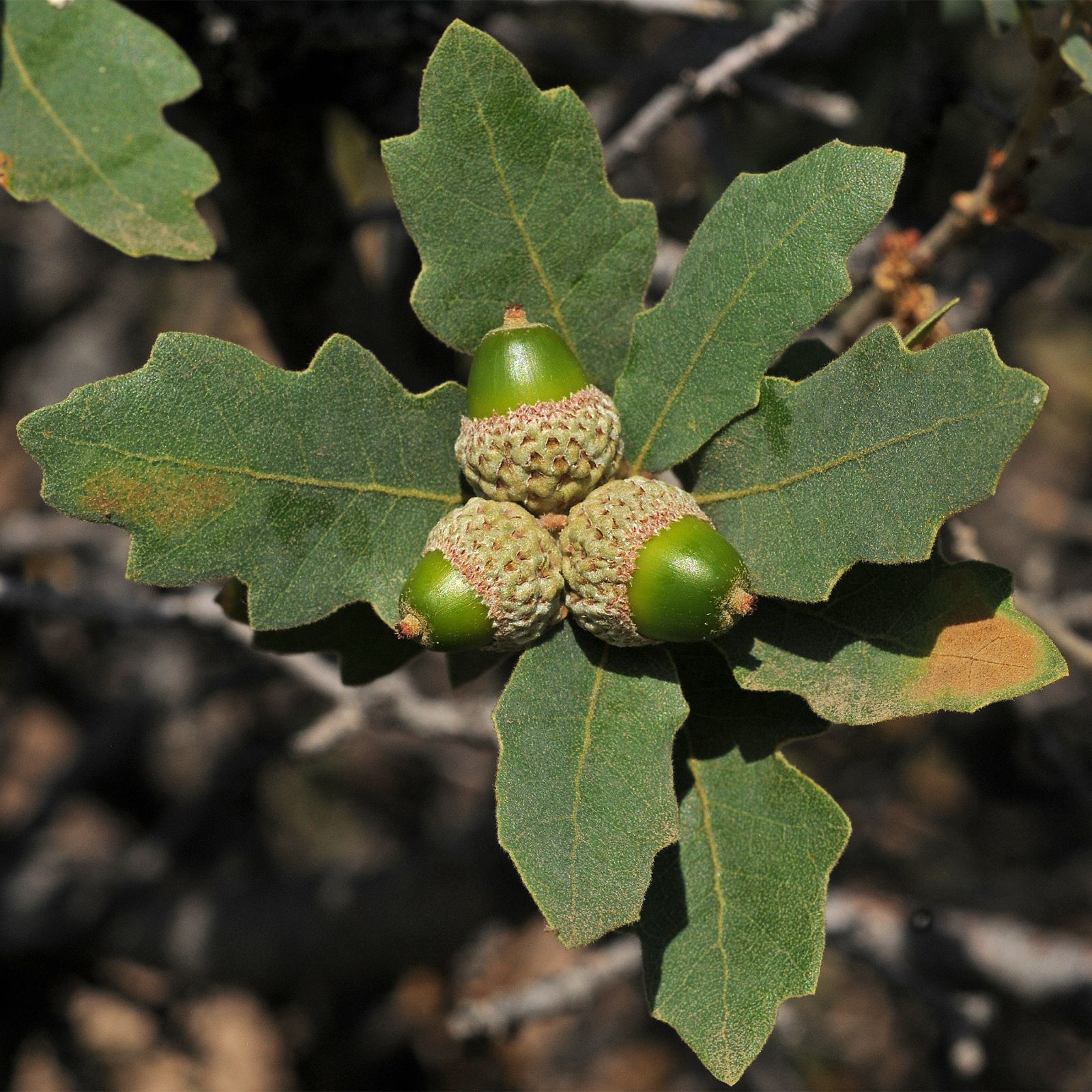
<p><i>Note: Post 8 is currently lying down on the trail, so look carefully!</i><br /> <br /> Look at the small group of oaks here. Several species of oaks can be found not only in riparian areas like this one, but also in the piñon-juniper woodland and mixed conifer forests of…
Falls Trail Tour - Stop 1
~5 min drive
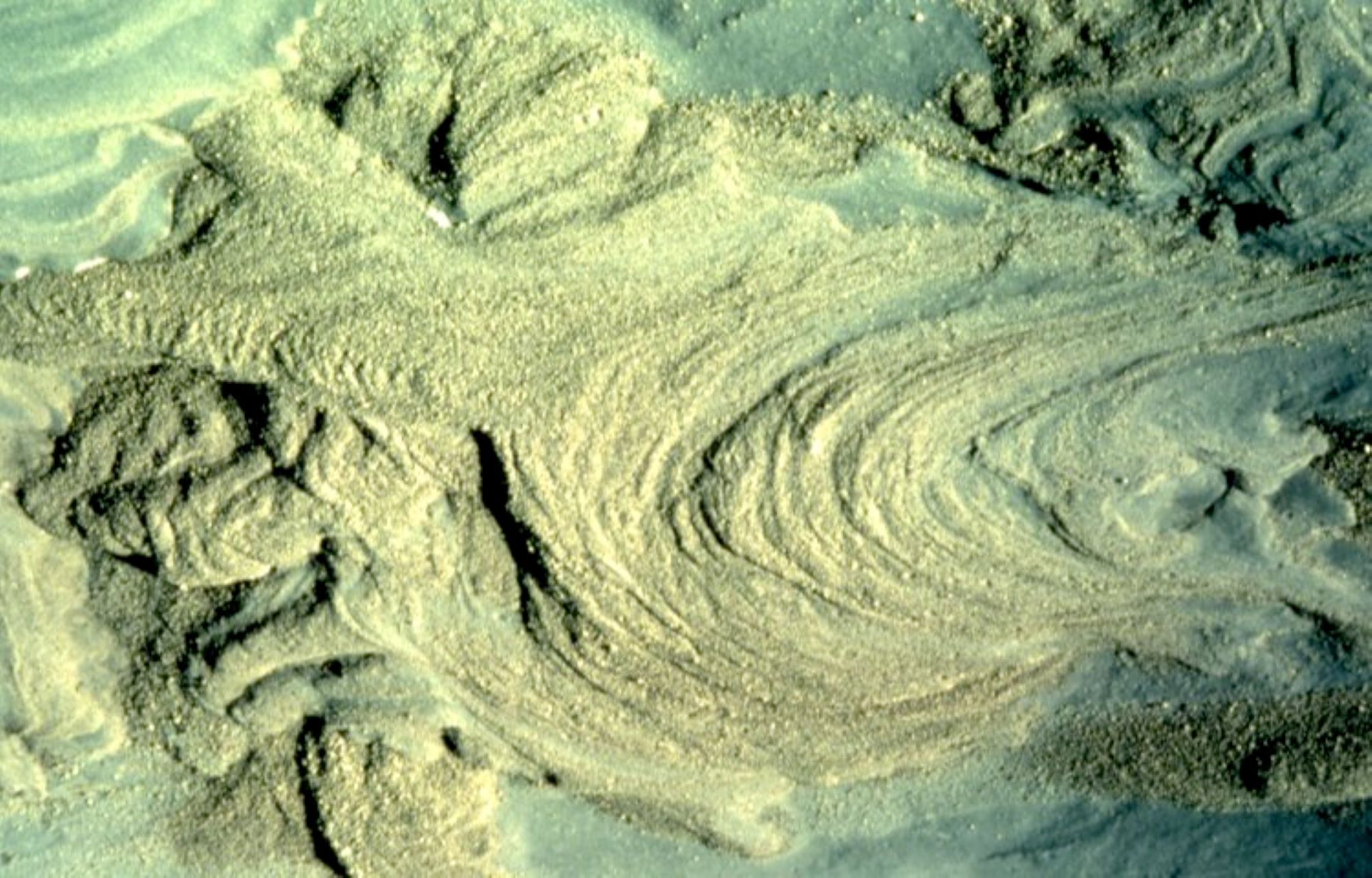
The story begins over a million years ago, with two major eruptions of the Jemez (HAY-mez) Volcano. Dense, destructive masses of hot ash, lava, and gases were ejected from the volcano and sped downhill, in what is called a pyroclastic flow. The landscape was buried in ash up t…
Falls Trail Tour - Stop 7
~5 min drive
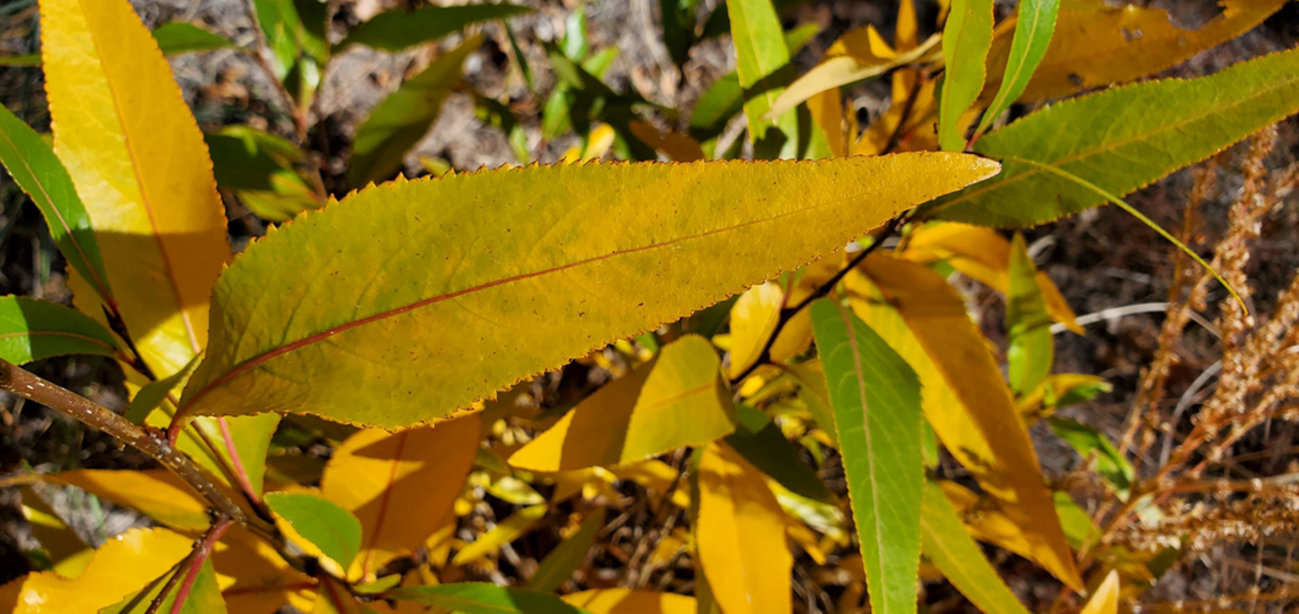
<p><em>Note: There is no post currently for Stop 7, so just find a nice shady stop to pause!</em><br /> <br /> In the canyon, water-loving plants like narrowleaf cottonwood (<i>Populus angustifolia</i>) and willow (<i>Salix spp</i>) grow in profusion. Cottonwoods get their nam…
Local operatorsoffering guided trips. You book directly with them — Roamze doesn’t take a cut.
Turquoise Trail Campground
Hiking business nearby (~46 mi away) — hasn't claimed their Roamze page yet