Juniper Campground Loop A
Campground
Campground · 3.2 mi from the trail
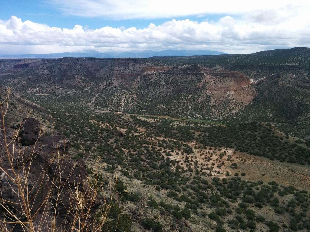
Potrillo Canyon Loop is a 2.75-mile loop on land managed by the Department of Energy in New Mexico, with a moderate climb of about 183 feet. The route rises from roughly 6,300 feet to a high point of about 6,470 feet, and it takes about an hour to complete. The loop sits among a cluster of trails, with Water Canyon Overlook Trail and Fence Canyon Loop Trail each about 0.3 miles away and Potrillo Crossing Trail about 0.4 miles away. For climbing, Potrillo Cliffs is about 1.1 miles off. The most comfortable stretch for a visit runs from May through September. Typical averages from a nearby weather station in Los Alamos show highs around 70°F in May and 74°F in September, with July and August the wettest months.
Juniper Campground Loop A
Campground
 If it rainsNewMexicophotographer1, CC BY-SA 4.0 · Wikimedia Commons
Places © OpenStreetMap contributors · Photos: NewMexicophotographer1, CC BY-SA 4.0 (commons)
More in Santo Domingo PuebloNot on Roamze yet. Their page has how to reach them.
Source: Roamze catalog (indexable pages within 10 miles, PostGIS distance)
 Ruin Mesa TrailHiking · ~2 min drivePhoto: AlisonChaiken, CC BY-SA 2.0 (via Flickr)
 Ancho CanyonHiking · ~4 min drivePhoto: BFS Man from Webster, TX, USA, CC BY 2.0 (via Wikimedia Commons)
 River TrailHiking · ~5 min drivePhoto: BFS Man from Webster, TX, USA, CC BY 2.0 (via Wikimedia Commons)Sherwood BoulevardHiking · ~2 min drivePhoto: BFS Man from Webster, TX, USA, CC BY 2.0 (via Wikimedia Commons)Estante Rim TrailHiking · ~2 min drivePhoto: AlisonChaiken, CC BY-SA 2.0 (via Flickr)
Best months: April–June and September–October. Best months have typical highs of 55–85 °F, lows of 30 °F or warmer (32 °F where the station doesn't record snow), at most one snowy day and no more than 12 wet days.
Jan
40° / 21°
6 wet
Feb
45° / 24°
6 wet
Mar
53° / 30°
7 wet
Apr
61° / 35°
6 wet
May
70° / 44°
6 wet
Jun
81° / 53°
7 wet
Jul
83° / 57°
13 wet
Aug
80° / 55°
14 wet
Sep
74° / 49°
9 wet
Oct
63° / 38°
6 wet
Nov
50° / 28°
5 wet
Dec
40° / 21°
6 wet
Typical high / low (°F) and days with rain or snow, 1991–2020. Measured at Los Alamos, NM, 6.7 mi away at 7,424 ft. The station sits about 1,000 ft higher than this place, so expect it a little warmer here. This station doesn't record snowfall. Source: NOAA NCEI U.S. Climate Normals 1991–2020.
Map and trail data © OpenStreetMap contributors

