Taos RV Park
Campground
Campground · 2.9 mi from the trail
Alert in the area
The Forest Service lists 3 alerts for Carson National Forest.
High-Elevation Snow Conditions
Agency alert covering Carson National Forest · USFS · Carson National Forest
Current Prescribed Fire Activity and Plans
Agency alert covering Carson National Forest · USFS · Carson National Forest
Current Fire Restrictions and Related Prohibitions
Agency alert covering Carson National Forest · USFS · Carson National Forest
As of · Source: USFS · Carson National Forest. Agencies don't list every closure — check before you go.
Rio Grande Del Rancho is a 12.1-mile out-and-back hike in the Camino Real Ranger District of Carson National Forest in northern New Mexico. The trail rises about 600 feet from a low point near 7,100 feet to a high of 7,519 feet, and it is rated hard. The Rio Grande Del Rancho Trailhead, which sits within the Forest Service's managed district, is the starting point for the route, which is open from March 15 to November 15. The trail is a natural-surface route that allows both horses and bikes, so it works for a variety of outings. That makes it a flexible option for riders and pack animals. Plan on a full day for the round trip. Spring and fall are the most comfortable seasons. Typical averages from a nearby weather station in Taos run around 73°F highs in May and 67°F in October. That station sits roughly 550 feet lower than the trail's high point, so temperatures up high run cooler. Nearby, Dos Arroyos Trail lies about 3 miles away and Drake Canyon Loop about 3.6 miles. Las Petacas Campground and the Taos Area climbing area are both about 5 miles off.
Taos RV Park
Campground
Ranchos Plaza Grill
Restaurant
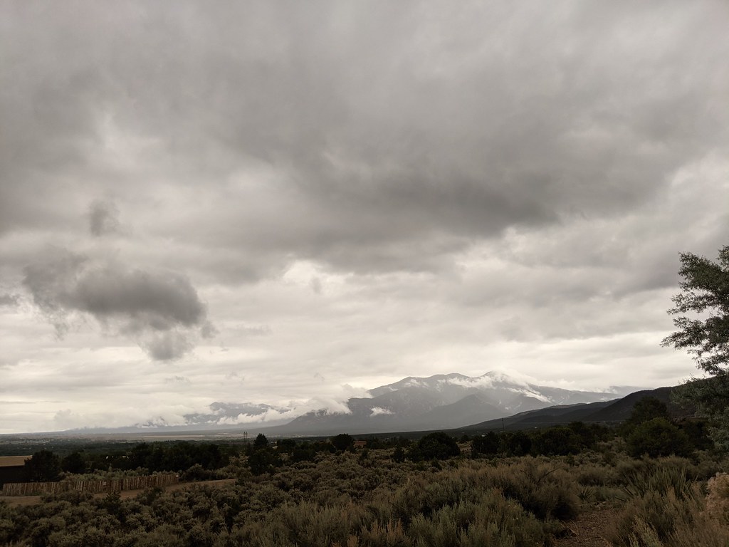
 If it rainsKhlnmusa, CC BY-SA 3.0 · Wikimedia Commons
Places © OpenStreetMap contributors · Photos: Khlnmusa, CC BY-SA 3.0 (commons)
More in Arroyo SecoNot on Roamze yet. Their page has how to reach them.
 Dos Arroyos TrailHikingPhoto: rogerostudio, CC BY-SA 2.0 (via Flickr)2.9 mi
Source: Roamze catalog (indexable pages within 10 miles, PostGIS distance)
Dos Arroyos TrailHiking · ~5 min drivePhoto: rogerostudio, CC BY-SA 2.0 (via Flickr) OjitosHiking · ~6 min drivePhoto: rogerostudio, CC BY-SA 2.0 (via Flickr)El Nogal Nature TrailHiking · ~7 min drivePhoto: rogerostudio, CC BY-SA 2.0 (via Flickr)Devisadero LoopHiking · ~7 min drivePhoto: rogerostudio, CC BY-SA 2.0 (via Flickr)
 Unnamed TrailHiking · ~13 min drivePhoto: Marge6914, CC BY-SA 3.0 (via Wikimedia Commons)Sediment TrailHiking · ~14 min drivePhoto: Marge6914, CC BY-SA 3.0 (via Wikimedia Commons)
Best months: May–June and August–October. Best months have typical highs of 55–85 °F, lows of 30 °F or warmer (32 °F where the station doesn't record snow), at most one snowy day and no more than 12 wet days.
Jan
42° / 12°
3 wet
Feb
46° / 19°
3 wet
Mar
55° / 25°
4 wet
Apr
63° / 31°
4 wet
May
73° / 37°
5 wet
Jun
84° / 47°
5 wet
Jul
87° / 53°
8 wet
Aug
84° / 51°
10 wet
Sep
78° / 45°
6 wet
Oct
67° / 32°
5 wet
Nov
53° / 22°
4 wet
Dec
42° / 14°
4 wet
Typical high / low (°F) and days with rain or snow, 1991–2020. Measured at Taos, NM, 4.5 mi away at 6,965 ft. The station sits about 600 ft lower than this place, so expect it a little cooler here. This station doesn't record snowfall. Source: NOAA NCEI U.S. Climate Normals 1991–2020.
